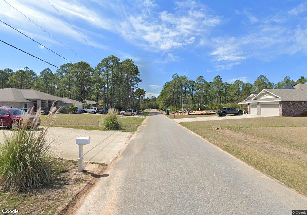
20/102 Britt Rd Navarre, FL 32566
Estimated Value: $512,689 - $587,000
4
Beds
3
Baths
2,587
Sq Ft
$208/Sq Ft
Est. Value
About This Home
This home is located at 20/102 Britt Rd, Navarre, FL 32566 and is currently estimated at $538,172, approximately $208 per square foot. 20/102 Britt Rd is a home located in Santa Rosa County with nearby schools including West Navarre Intermediate School, West Navarre Primary School, and Woodlawn Beach Middle School.
Ownership History
Date
Name
Owned For
Owner Type
Purchase Details
Closed on
Mar 9, 2018
Sold by
Whitworh Builders Inc
Bought by
Brittingham Jay D and Brittingham Judith B
Current Estimated Value
Home Financials for this Owner
Home Financials are based on the most recent Mortgage that was taken out on this home.
Original Mortgage
$327,000
Outstanding Balance
$278,670
Interest Rate
4.15%
Mortgage Type
VA
Estimated Equity
$259,502
Purchase Details
Closed on
Feb 17, 2017
Sold by
Mosley Daniel H
Bought by
Whitworth Builers Inc
Purchase Details
Closed on
Sep 24, 2002
Sold by
Holley By Sea Impr Assn Inc
Bought by
Joe Dunn Assoc Inc
Purchase Details
Closed on
Jan 10, 2002
Sold by
Clerk Circuit Court
Bought by
Holley By Sea Impr Assn Inc
Create a Home Valuation Report for This Property
The Home Valuation Report is an in-depth analysis detailing your home's value as well as a comparison with similar homes in the area
Home Values in the Area
Average Home Value in this Area
Purchase History
| Date | Buyer | Sale Price | Title Company |
|---|---|---|---|
| Brittingham Jay D | $336,200 | Mead Law & Title | |
| Whitworth Builers Inc | $20,000 | Attorney | |
| Joe Dunn Assoc Inc | $7,000 | -- | |
| Holley By Sea Impr Assn Inc | -- | -- |
Source: Public Records
Mortgage History
| Date | Status | Borrower | Loan Amount |
|---|---|---|---|
| Open | Brittingham Jay D | $327,000 |
Source: Public Records
Tax History Compared to Growth
Tax History
| Year | Tax Paid | Tax Assessment Tax Assessment Total Assessment is a certain percentage of the fair market value that is determined by local assessors to be the total taxable value of land and additions on the property. | Land | Improvement |
|---|---|---|---|---|
| 2024 | $3,279 | $317,549 | -- | -- |
| 2023 | $3,279 | $308,299 | $0 | $0 |
| 2022 | $3,194 | $299,319 | $0 | $0 |
| 2021 | $3,173 | $290,601 | $0 | $0 |
| 2020 | $3,163 | $286,589 | $0 | $0 |
| 2019 | $3,083 | $279,168 | $0 | $0 |
| 2018 | $3,257 | $259,680 | $0 | $0 |
| 2017 | $319 | $31,500 | $0 | $0 |
| 2016 | $253 | $24,500 | $0 | $0 |
| 2015 | $255 | $24,500 | $0 | $0 |
| 2014 | $255 | $24,500 | $0 | $0 |
Source: Public Records
Map
Nearby Homes
- 6600 Bryant Rd
- 6612 Admiral St
- TBD Admiral St
- 6647 Desoto St
- 6555 Desoto St
- 6568 Castlewood St
- 6654 Bluefish Rd
- 2929 Sherwood Dr
- 6603 Angle Rd
- 6618 Angle Rd
- 6743 Desoto St
- 2811 Dunsmuir Dr
- 2754 Shoni Dr
- 6707 E Bay Blvd
- 6618 E Bay Blvd
- 3032 Tiffany Ln
- 6622 E Bay Blvd
- 6729 Fairmont St
- 3039 Crittenden Dr