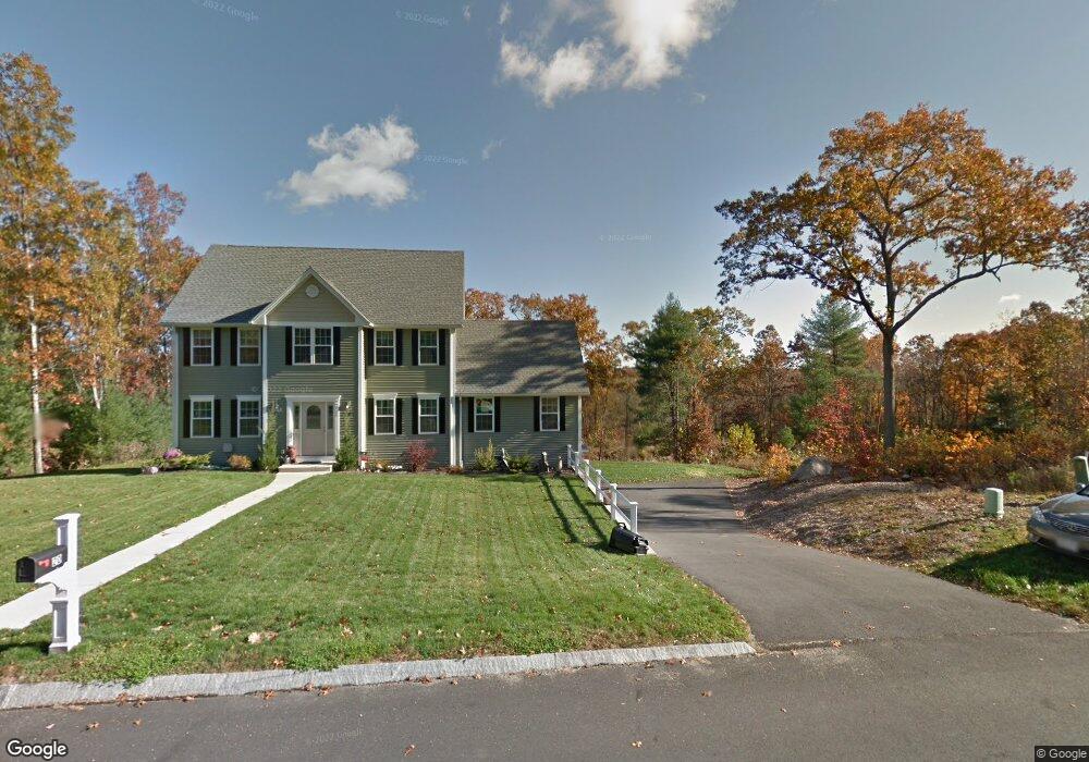
20 Albert Dr Millville, MA 01529
Estimated Value: $573,000 - $729,000
3
Beds
3
Baths
2,016
Sq Ft
$313/Sq Ft
Est. Value
About This Home
This home is located at 20 Albert Dr, Millville, MA 01529 and is currently estimated at $630,103, approximately $312 per square foot. 20 Albert Dr is a home located in Worcester County with nearby schools including Blackstone-Millville Regional High School.
Ownership History
Date
Name
Owned For
Owner Type
Purchase Details
Closed on
Mar 23, 2023
Sold by
Yanofsky Brian N and Yanofsky Janet M
Bought by
Janet M Yanofsky Ret and Yanofsky
Current Estimated Value
Purchase Details
Closed on
Sep 30, 2011
Sold by
Paul A Benoit Nt and Benoit
Bought by
Yanofsky Brian N and Yanofsky Janet M
Home Financials for this Owner
Home Financials are based on the most recent Mortgage that was taken out on this home.
Original Mortgage
$326,800
Interest Rate
4.15%
Mortgage Type
Purchase Money Mortgage
Create a Home Valuation Report for This Property
The Home Valuation Report is an in-depth analysis detailing your home's value as well as a comparison with similar homes in the area
Home Values in the Area
Average Home Value in this Area
Purchase History
| Date | Buyer | Sale Price | Title Company |
|---|---|---|---|
| Janet M Yanofsky Ret | -- | None Available | |
| Yanofsky Brian N | $344,000 | -- |
Source: Public Records
Mortgage History
| Date | Status | Borrower | Loan Amount |
|---|---|---|---|
| Previous Owner | Yanofsky Brian N | $326,800 |
Source: Public Records
Tax History Compared to Growth
Tax History
| Year | Tax Paid | Tax Assessment Tax Assessment Total Assessment is a certain percentage of the fair market value that is determined by local assessors to be the total taxable value of land and additions on the property. | Land | Improvement |
|---|---|---|---|---|
| 2025 | $6,393 | $484,700 | $108,200 | $376,500 |
| 2024 | $7,809 | $590,700 | $84,800 | $505,900 |
| 2023 | $7,627 | $549,100 | $84,800 | $464,300 |
| 2022 | $7,324 | $484,700 | $108,200 | $376,500 |
| 2021 | $7,213 | $452,800 | $108,200 | $344,600 |
| 2020 | $6,995 | $435,300 | $116,900 | $318,400 |
| 2019 | $6,453 | $399,300 | $125,100 | $274,200 |
| 2018 | $6,672 | $402,900 | $125,100 | $277,800 |
| 2017 | $6,299 | $391,000 | $125,100 | $265,900 |
| 2016 | $6,453 | $381,600 | $125,100 | $256,500 |
| 2015 | $6,029 | $349,700 | $121,600 | $228,100 |
| 2014 | $5,542 | $322,600 | $116,900 | $205,700 |
Source: Public Records
Map
Nearby Homes
- 23 Chesley St
- 18 Chestnut Hill Rd
- 133 Providence St Unit D
- 77 Chestnut Hill Rd
- 24 Lincoln St
- 34 Lincoln St
- 16 Preston St
- 385 River Rd
- 90 Chestnut Hill Rd
- 111 Cider Mill Rd
- 0 Buxton St Unit 1386233
- 41 Thayer St
- 9 Balm of Life Spring Rd
- 179 Thayer St
- 784 Victory Hwy
- 1003 Victory Hwy
- 160 Thayer St
- 119 Albee Rd
- 57 Kempton Rd
- 104 Old Great Rd