Estimated Value: $708,000 - $726,000
3
Beds
3
Baths
2,076
Sq Ft
$345/Sq Ft
Est. Value
About This Home
This home is located at 20 Alewive Ct Unit 49, Wells, ME 04090 and is currently estimated at $715,398, approximately $344 per square foot. 20 Alewive Ct Unit 49 is a home located in York County with nearby schools including Wells Junior High School, Wells Elementary School, and Wells High School.
Ownership History
Date
Name
Owned For
Owner Type
Purchase Details
Closed on
Nov 2, 2015
Sold by
Kasprzak Homes Inc
Bought by
Mccullough Phyllis T and Mccullough Robert I
Current Estimated Value
Home Financials for this Owner
Home Financials are based on the most recent Mortgage that was taken out on this home.
Original Mortgage
$245,000
Outstanding Balance
$193,551
Interest Rate
3.92%
Mortgage Type
New Conventional
Estimated Equity
$521,847
Create a Home Valuation Report for This Property
The Home Valuation Report is an in-depth analysis detailing your home's value as well as a comparison with similar homes in the area
Home Values in the Area
Average Home Value in this Area
Purchase History
| Date | Buyer | Sale Price | Title Company |
|---|---|---|---|
| Mccullough Phyllis T | -- | -- | |
| Mccullough Phyllis T | -- | -- |
Source: Public Records
Mortgage History
| Date | Status | Borrower | Loan Amount |
|---|---|---|---|
| Open | Mccullough Phyllis T | $245,000 | |
| Closed | Mccullough Phyllis T | $245,000 |
Source: Public Records
Tax History Compared to Growth
Tax History
| Year | Tax Paid | Tax Assessment Tax Assessment Total Assessment is a certain percentage of the fair market value that is determined by local assessors to be the total taxable value of land and additions on the property. | Land | Improvement |
|---|---|---|---|---|
| 2024 | $3,551 | $584,020 | $135,930 | $448,090 |
| 2023 | $3,481 | $584,020 | $135,930 | $448,090 |
| 2022 | $4,022 | $384,490 | $61,820 | $322,670 |
| 2021 | $4,045 | $384,490 | $61,820 | $322,670 |
| 2020 | $4,029 | $384,490 | $61,820 | $322,670 |
| 2019 | $4,004 | $384,240 | $61,820 | $322,420 |
| 2018 | $3,843 | $401,170 | $61,820 | $339,350 |
| 2017 | $4,078 | $401,350 | $61,820 | $339,530 |
| 2016 | $4,038 | $401,350 | $61,820 | $339,530 |
Source: Public Records
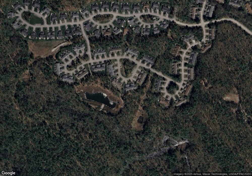
Map
Nearby Homes
- 102 Heron Landing Dr Unit 22
- 53 Hidden Brook Dr Unit 13
- 15 Heritage Dr Unit 15
- 557 Coles Hill Rd
- 50 Coles Hill Rd
- 66 Nicholas Dr
- 2090 Post Rd Unit 4B
- 2073 Post Rd Unit 5
- 238 Laudholm Farm Rd
- 17 Cascade Cir Unit 19
- 43 Sylvan Way Unit 10
- 1830 Post Rd
- 1762 Post Rd Unit 209
- 1801 Post Rd Unit 174
- 1801 Post Rd Unit 190
- 1801 Post Rd Unit 180
- 35 Burnt Mill Rd Unit B
- 4 Cider Mill Ln
- 5 Cider Mill Ln
- 3 Cider Mill Ln
- 18 Alewive Ct Unit 50
- 14 Alewive Ct Unit 52
- 26 Alewive Ct Unit 47
- 28 Alewive Ct Unit 46
- 10 Alewive Ct Unit 53
- 8 Alewive Ct Unit 54
- 8 Alewive Dr Unit 54
- 36 Alewive Ct Unit 43
- 36 Alewive Ct Unit 43
- 36 Alewive Ct
- 4 Alewive Ct Unit 56
- 38 Alewive Ct Unit 42
- 86 Windward Pointe Dr Unit 15
- 84 Windward Pointe Dr Unit 16
- 48 Heron Landing Dr Unit 40
- 5 Heron Landing Unit 5
- 90 Windward Pointe Dr Unit 13
- 82 Windward Pointe Dr
- 82 Windward Pointe Dr Unit 17
- 82 Windward Pointe Dr Unit 82