20 Chestnut St New London, MN 56273
Estimated Value: $344,000 - $377,000
--
Bed
--
Bath
1,648
Sq Ft
$219/Sq Ft
Est. Value
About This Home
This home is located at 20 Chestnut St, New London, MN 56273 and is currently estimated at $361,163, approximately $219 per square foot. 20 Chestnut St is a home located in Kandiyohi County with nearby schools including Prairie Woods Elementary School, New London-Spicer Middle School, and New London-Spicer Senior High School.
Ownership History
Date
Name
Owned For
Owner Type
Purchase Details
Closed on
Apr 28, 2016
Sold by
Woodward Glorie A
Bought by
Peterson Mark and Peterson Amanda S
Current Estimated Value
Home Financials for this Owner
Home Financials are based on the most recent Mortgage that was taken out on this home.
Original Mortgage
$185,250
Outstanding Balance
$147,712
Interest Rate
3.71%
Mortgage Type
New Conventional
Estimated Equity
$213,451
Create a Home Valuation Report for This Property
The Home Valuation Report is an in-depth analysis detailing your home's value as well as a comparison with similar homes in the area
Home Values in the Area
Average Home Value in this Area
Purchase History
| Date | Buyer | Sale Price | Title Company |
|---|---|---|---|
| Peterson Mark | $195,000 | -- |
Source: Public Records
Mortgage History
| Date | Status | Borrower | Loan Amount |
|---|---|---|---|
| Open | Peterson Mark | $185,250 |
Source: Public Records
Tax History Compared to Growth
Tax History
| Year | Tax Paid | Tax Assessment Tax Assessment Total Assessment is a certain percentage of the fair market value that is determined by local assessors to be the total taxable value of land and additions on the property. | Land | Improvement |
|---|---|---|---|---|
| 2025 | $4,936 | $333,700 | $25,500 | $308,200 |
| 2024 | $4,814 | $322,600 | $25,500 | $297,100 |
| 2023 | $4,392 | $307,100 | $25,500 | $281,600 |
| 2022 | $3,264 | $282,700 | $25,500 | $257,200 |
| 2021 | $2,924 | $199,200 | $21,500 | $177,700 |
| 2020 | $2,808 | $190,300 | $21,500 | $168,800 |
| 2019 | $2,658 | $185,800 | $21,500 | $164,300 |
| 2018 | $2,512 | $174,000 | $21,500 | $152,500 |
| 2017 | $2,438 | $167,000 | $20,000 | $147,000 |
| 2016 | $2,382 | $1,448 | $0 | $0 |
| 2015 | -- | $0 | $0 | $0 |
| 2014 | -- | $0 | $0 | $0 |
Source: Public Records
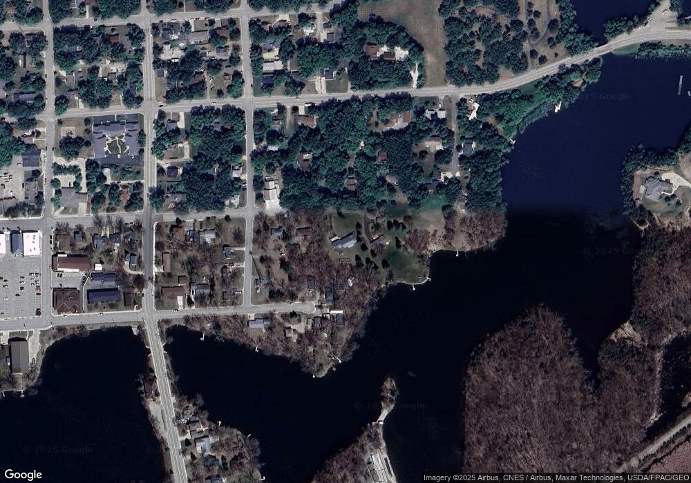
Map
Nearby Homes
- 305 1st Ave SE
- 313 2nd Ave NE
- 109 1st Ave NW
- 6 Fourth Avenue Lot 9 Ave
- 232 1st Ave NW
- 206 Pine St SW
- 311 Pine St SW
- TBD Pine St NW
- 108 Meadow Ln
- 104 Meadow Ln
- 122 Ridge Rd
- 196633 County Road 9 NE
- 19663 County Road 9 NE
- 18254 Norway Woods Cir
- TBD 198th Ave NE
- TBD` 198th Ave NE
- 8303 198th Ave NE
- L2 B2 83rd St NE
- L1 B2 83rd St NE
- TBD Lot H Co Rd 40
- 20 Chestnut St NE
- 304 Central Ave E
- 26 Chestnut St
- 313 1st Ave SE
- 26 Chestnut St NE
- 22 Chestnut St
- 309 1st Ave SE
- 7737 187th Ave NE
- 300 Central Ave E
- 404 1st Ave NE
- 316 1st Ave SE
- 25 Chestnut St
- 25 Chestnut St NE
- 301 Central Ave E
- 7739 187th Ave NE
- 7755 187th Ave NE
- 312 1st Ave SE
- 216 E Central Ave
- 221 1st Ave SE
- 221 1st Ave SE