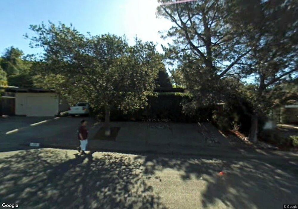
20 Mount Tenaya Dr San Rafael, CA 94903
Lucas Valley NeighborhoodEstimated Value: $1,558,646 - $2,276,000
5
Beds
2
Baths
2,178
Sq Ft
$855/Sq Ft
Est. Value
About This Home
This home is located at 20 Mount Tenaya Dr, San Rafael, CA 94903 and is currently estimated at $1,861,162, approximately $854 per square foot. 20 Mount Tenaya Dr is a home located in Marin County with nearby schools including Lucas Valley Elementary School, Miller Creek Middle School, and Terra Linda High School.
Ownership History
Date
Name
Owned For
Owner Type
Purchase Details
Closed on
Jul 10, 2008
Sold by
Johnston Shawn A and Johnston Frances A
Bought by
Hamilton John R and Hamilton Jennifer T
Current Estimated Value
Home Financials for this Owner
Home Financials are based on the most recent Mortgage that was taken out on this home.
Original Mortgage
$525,000
Outstanding Balance
$338,693
Interest Rate
6.07%
Mortgage Type
Purchase Money Mortgage
Estimated Equity
$1,522,469
Purchase Details
Closed on
Jul 20, 2005
Sold by
Johnston Shawn Adair and Johnston Frances Ann
Bought by
Johnston Shawn A and Johnston Frances A
Home Financials for this Owner
Home Financials are based on the most recent Mortgage that was taken out on this home.
Original Mortgage
$750,000
Interest Rate
4.85%
Mortgage Type
New Conventional
Purchase Details
Closed on
Oct 14, 2002
Sold by
Johnston Shawn A and Johnston Frances A
Bought by
Johnston Shawn A and Johnston Frances A
Home Financials for this Owner
Home Financials are based on the most recent Mortgage that was taken out on this home.
Original Mortgage
$370,000
Interest Rate
5.39%
Purchase Details
Closed on
Mar 31, 1999
Sold by
Johnston Shawn A and Johnston Frances A
Bought by
Johnston Shawn A and Johnston Frances A
Home Financials for this Owner
Home Financials are based on the most recent Mortgage that was taken out on this home.
Original Mortgage
$380,000
Interest Rate
7%
Purchase Details
Closed on
Aug 25, 1995
Sold by
Johnston Shawn A and Johnston Frances A
Bought by
Johnston Shawn A and Johnston Frances A
Home Financials for this Owner
Home Financials are based on the most recent Mortgage that was taken out on this home.
Original Mortgage
$298,000
Interest Rate
7.87%
Purchase Details
Closed on
Aug 9, 1995
Sold by
Johnston Shawn A and Johnston Frances A
Bought by
Johnston Shawn A and Johnston Frances A
Home Financials for this Owner
Home Financials are based on the most recent Mortgage that was taken out on this home.
Original Mortgage
$298,000
Interest Rate
7.87%
Create a Home Valuation Report for This Property
The Home Valuation Report is an in-depth analysis detailing your home's value as well as a comparison with similar homes in the area
Home Values in the Area
Average Home Value in this Area
Purchase History
| Date | Buyer | Sale Price | Title Company |
|---|---|---|---|
| Hamilton John R | $1,025,000 | First American Title Company | |
| Johnston Shawn A | -- | Cal Land Title | |
| Johnston Shawn Adir | -- | Multiple | |
| Johnston Shawn A | -- | First American Title Co Mari | |
| Johnston Shawn A | -- | First American Title Co Mari | |
| Johnston Shawn A | -- | First American Title Co | |
| Johnston Shawn A | -- | Fidelity National Title | |
| Johnston Shawn A | -- | -- | |
| Johnston Shawn A | -- | First American Title Co |
Source: Public Records
Mortgage History
| Date | Status | Borrower | Loan Amount |
|---|---|---|---|
| Open | Hamilton John R | $525,000 | |
| Previous Owner | Johnston Shawn Adir | $750,000 | |
| Previous Owner | Johnston Shawn A | $370,000 | |
| Previous Owner | Johnston Shawn A | $380,000 | |
| Previous Owner | Johnston Shawn A | $298,000 |
Source: Public Records
Tax History Compared to Growth
Tax History
| Year | Tax Paid | Tax Assessment Tax Assessment Total Assessment is a certain percentage of the fair market value that is determined by local assessors to be the total taxable value of land and additions on the property. | Land | Improvement |
|---|---|---|---|---|
| 2025 | $17,447 | $1,313,423 | $772,602 | $540,821 |
| 2024 | $17,447 | $1,287,678 | $757,458 | $530,220 |
| 2023 | $17,413 | $1,262,433 | $742,608 | $519,825 |
| 2022 | $16,731 | $1,237,688 | $728,052 | $509,636 |
| 2021 | $15,978 | $1,213,422 | $713,778 | $499,644 |
| 2020 | $15,986 | $1,200,988 | $706,464 | $494,524 |
| 2019 | $15,459 | $1,177,447 | $692,616 | $484,831 |
| 2018 | $15,280 | $1,154,364 | $679,038 | $475,326 |
| 2017 | $14,433 | $1,131,730 | $665,724 | $466,006 |
| 2016 | $14,137 | $1,109,545 | $652,674 | $456,871 |
| 2015 | $13,397 | $1,054,961 | $596,024 | $458,937 |
| 2014 | $11,628 | $941,931 | $532,165 | $409,766 |
Source: Public Records
Map
Nearby Homes
- 12 Mount Susitna Ct
- 51 Mount Muir Ct
- 316 Mount Shasta Dr
- 19 Mount Lassen Dr
- 100 Mount Lyell Dr
- 29 Mount Foraker Dr
- 100 De la Guerra Rd
- 936 Patricia Way
- 16 Diego Dr
- 92 Upper Oak Dr
- 642 Appleberry Dr
- 11 Oak Tree Ct
- 562 Kernberry Dr
- 1081 Las Raposas Rd
- 876 Las Ovejas Ave
- 659 Las Colindas Rd
- 467 Cedar Hill Dr
- 38 Twelveoak Hill Dr
- 711 Montecillo Rd
- 475 Pinewood Dr
- 30 Mount Tenaya Dr
- 10 Mount Tenaya Dr
- 40 Mount Tenaya Dr
- 1178 Idylberry Rd
- 25 Mount Tenaya Dr
- 15 Mount Tenaya Dr
- 35 Mount Tenaya Dr
- 1174 Idylberry Rd
- 50 Mount Tenaya Dr
- 1170 Idylberry Rd
- 1180 Idylberry Rd
- 45 Mount Tenaya Dr
- 40 Pikes Peak Dr
- 20 Pikes Peak Dr
- 1166 Idylberry Rd
- 65 Mount Tenaya Dr
- 60 Mount Tenaya Dr
- 1188 Idylberry Rd
- 50 Pikes Peak Dr
- 1162 Idylberry Rd