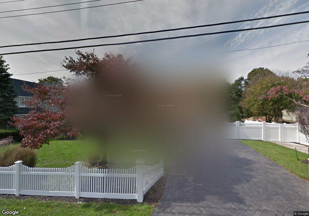
20 Normandy Dr Northport, NY 11768
Estimated Value: $812,000 - $897,000
--
Bed
--
Bath
--
Sq Ft
0.43
Acres
About This Home
This home is located at 20 Normandy Dr, Northport, NY 11768 and is currently estimated at $839,214. 20 Normandy Dr is a home located in Suffolk County with nearby schools including Northport Senior High School, The School House, and Trinity Regional School-East Northport Campus.
Ownership History
Date
Name
Owned For
Owner Type
Purchase Details
Closed on
Aug 9, 2007
Sold by
Mccabe Michael B
Bought by
Stein David G
Current Estimated Value
Purchase Details
Closed on
Dec 30, 2003
Sold by
Fierro Nicholas and Fierro Loretta
Bought by
Mccabe Michael B and Mccabe Kristin L
Home Financials for this Owner
Home Financials are based on the most recent Mortgage that was taken out on this home.
Original Mortgage
$322,700
Interest Rate
4.62%
Mortgage Type
Purchase Money Mortgage
Create a Home Valuation Report for This Property
The Home Valuation Report is an in-depth analysis detailing your home's value as well as a comparison with similar homes in the area
Home Values in the Area
Average Home Value in this Area
Purchase History
| Date | Buyer | Sale Price | Title Company |
|---|---|---|---|
| Stein David G | $615,000 | Joseph Vozza | |
| Mccabe Michael B | $555,000 | Lawyers Title Ins |
Source: Public Records
Mortgage History
| Date | Status | Borrower | Loan Amount |
|---|---|---|---|
| Previous Owner | Mccabe Michael B | $322,700 |
Source: Public Records
Tax History Compared to Growth
Tax History
| Year | Tax Paid | Tax Assessment Tax Assessment Total Assessment is a certain percentage of the fair market value that is determined by local assessors to be the total taxable value of land and additions on the property. | Land | Improvement |
|---|---|---|---|---|
| 2024 | $9,469 | $2,950 | $200 | $2,750 |
| 2023 | $4,735 | $2,950 | $200 | $2,750 |
| 2022 | $8,901 | $2,950 | $200 | $2,750 |
| 2021 | $8,619 | $2,950 | $200 | $2,750 |
| 2020 | $8,479 | $2,950 | $200 | $2,750 |
| 2019 | $16,958 | $0 | $0 | $0 |
| 2018 | $7,947 | $2,950 | $200 | $2,750 |
| 2017 | $7,947 | $2,950 | $200 | $2,750 |
| 2016 | $7,817 | $2,950 | $200 | $2,750 |
| 2015 | -- | $2,950 | $200 | $2,750 |
| 2014 | -- | $2,950 | $200 | $2,750 |
Source: Public Records
Map
Nearby Homes
- 27 Brittany Ct
- 22 Middleville Rd
- 30 Middleville Rd
- 32 Middleville Rd Unit 2
- 107 Soper Ave
- 7 Sun Valley Ct
- 26 Gilbert St
- 33 Alsace Place
- 30 Fox Hollow Ridings Rd
- 65 Circle Dr
- 44 Grant St
- 15 Dune Ct
- 120 Burt Ave
- 292 Laurel Rd
- 167 Vernon Valley Rd
- 301 Laurel Rd
- 267 Laurel Rd
- 96 Soundview Ave
- 18 Norton Dr
- 96 Bellecrest Ave