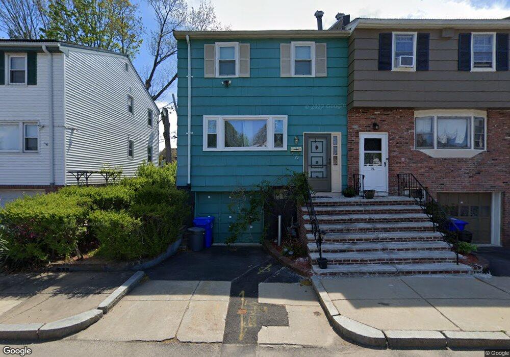
20 Ralston Rd Hyde Park, MA 02136
Hyde Park NeighborhoodEstimated Value: $603,000 - $659,000
3
Beds
2
Baths
1,280
Sq Ft
$487/Sq Ft
Est. Value
About This Home
This home is located at 20 Ralston Rd, Hyde Park, MA 02136 and is currently estimated at $623,855, approximately $487 per square foot. 20 Ralston Rd is a home with nearby schools including Boston Preparatory Charter Public School and Berea Seventh-day Adventist Academy.
Ownership History
Date
Name
Owned For
Owner Type
Purchase Details
Closed on
Jan 20, 2020
Sold by
Jenkins Elaine M
Bought by
Elaine M Jenkins T
Current Estimated Value
Purchase Details
Closed on
Jan 19, 1989
Sold by
Leonard Charles R
Bought by
Jenkins Willie J
Home Financials for this Owner
Home Financials are based on the most recent Mortgage that was taken out on this home.
Original Mortgage
$134,835
Interest Rate
10.38%
Mortgage Type
Purchase Money Mortgage
Create a Home Valuation Report for This Property
The Home Valuation Report is an in-depth analysis detailing your home's value as well as a comparison with similar homes in the area
Home Values in the Area
Average Home Value in this Area
Purchase History
| Date | Buyer | Sale Price | Title Company |
|---|---|---|---|
| Elaine M Jenkins T | -- | None Available | |
| Jenkins Willie J | $133,500 | -- |
Source: Public Records
Mortgage History
| Date | Status | Borrower | Loan Amount |
|---|---|---|---|
| Previous Owner | Jenkins Willie J | $115,122 | |
| Previous Owner | Jenkins Willie J | $134,835 |
Source: Public Records
Tax History Compared to Growth
Tax History
| Year | Tax Paid | Tax Assessment Tax Assessment Total Assessment is a certain percentage of the fair market value that is determined by local assessors to be the total taxable value of land and additions on the property. | Land | Improvement |
|---|---|---|---|---|
| 2025 | $5,373 | $464,000 | $122,200 | $341,800 |
| 2024 | $4,709 | $432,000 | $118,900 | $313,100 |
| 2023 | $4,296 | $400,000 | $110,100 | $289,900 |
| 2022 | $4,067 | $373,800 | $102,900 | $270,900 |
| 2021 | $3,717 | $348,400 | $98,900 | $249,500 |
| 2020 | $3,641 | $344,800 | $102,200 | $242,600 |
| 2019 | $3,304 | $313,500 | $76,600 | $236,900 |
| 2018 | $3,128 | $298,500 | $76,600 | $221,900 |
| 2017 | $3,051 | $288,100 | $76,600 | $211,500 |
| 2016 | $2,990 | $271,800 | $76,600 | $195,200 |
| 2015 | $2,366 | $195,400 | $59,100 | $136,300 |
| 2014 | $2,272 | $180,600 | $59,100 | $121,500 |
Source: Public Records
Map
Nearby Homes
- 23 Caton St
- 25 Alpine St Unit 7
- 90 Hollingsworth St
- 645 River St
- 7 Winborough St
- 20 Massasoit St
- 48-50 Rockdale St
- 42 Osceola St
- 839-843 Cummins Hwy
- 34 Ridlon Rd
- 770 Cummins Hwy Unit 1
- 770 Cummins Hwy Unit 22
- 10 Brockton St
- 112 Brush Hill Rd
- 16 Blue Hill Ave
- 0 Tina Ave
- 95 Woodhaven St
- 16 Concord Ave Unit 1
- 231 Itasca St
- 96 Brook Rd