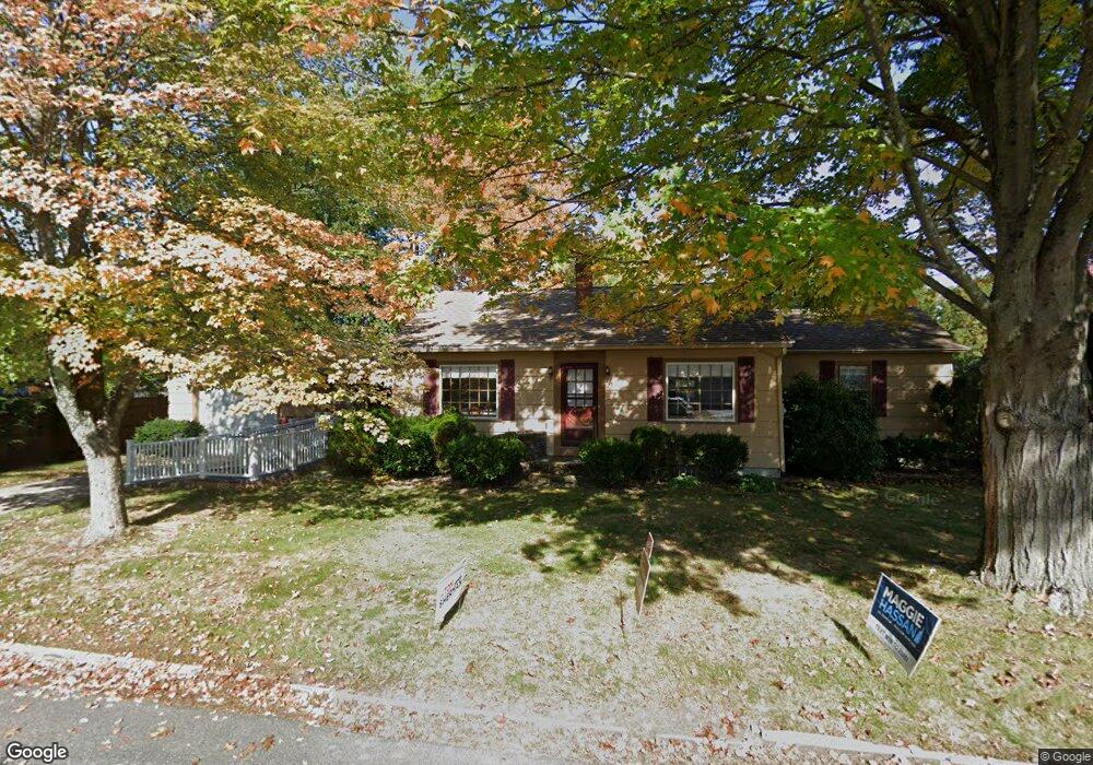
20 Seabee St Bedford, NH 03110
Bedford NeighborhoodEstimated Value: $454,000 - $472,000
2
Beds
1
Bath
1,229
Sq Ft
$374/Sq Ft
Est. Value
About This Home
This home is located at 20 Seabee St, Bedford, NH 03110 and is currently estimated at $459,420, approximately $373 per square foot. 20 Seabee St is a home located in Hillsborough County with nearby schools including Mckelvie Intermediate School, Ross A. Lurgio Middle School, and Bedford High School.
Ownership History
Date
Name
Owned For
Owner Type
Purchase Details
Closed on
Sep 12, 2024
Sold by
Munford John W and Munford Cynthia V
Bought by
Munford Cynthia A
Current Estimated Value
Purchase Details
Closed on
Sep 10, 2024
Sold by
Munford Cynthia V
Bought by
Munford Ft and Munford
Purchase Details
Closed on
Oct 30, 2013
Sold by
Cecile L Munford Ret
Bought by
Munford John W and Munford Cynthia V
Purchase Details
Closed on
Oct 31, 1995
Bought by
Munford John W and Munford Cynthia
Create a Home Valuation Report for This Property
The Home Valuation Report is an in-depth analysis detailing your home's value as well as a comparison with similar homes in the area
Home Values in the Area
Average Home Value in this Area
Purchase History
| Date | Buyer | Sale Price | Title Company |
|---|---|---|---|
| Munford Cynthia A | -- | None Available | |
| Munford Cynthia A | -- | None Available | |
| Munford Ft | -- | None Available | |
| Munford Ft | -- | None Available | |
| Munford John W | -- | -- | |
| Munford John W | $4,000 | -- | |
| Munford John W | -- | -- |
Source: Public Records
Tax History Compared to Growth
Tax History
| Year | Tax Paid | Tax Assessment Tax Assessment Total Assessment is a certain percentage of the fair market value that is determined by local assessors to be the total taxable value of land and additions on the property. | Land | Improvement |
|---|---|---|---|---|
| 2024 | $5,749 | $363,600 | $186,400 | $177,200 |
| 2023 | $5,381 | $363,600 | $186,400 | $177,200 |
| 2022 | $5,254 | $298,500 | $138,100 | $160,400 |
| 2021 | $5,116 | $298,500 | $138,100 | $160,400 |
| 2020 | $4,793 | $239,400 | $100,300 | $139,100 |
| 2019 | $4,537 | $239,400 | $100,300 | $139,100 |
| 2018 | $4,357 | $213,600 | $94,400 | $119,200 |
| 2017 | $4,039 | $213,600 | $94,400 | $119,200 |
| 2016 | $3,915 | $175,000 | $70,900 | $104,100 |
| 2015 | $3,983 | $175,000 | $70,900 | $104,100 |
| 2014 | $3,938 | $175,000 | $70,900 | $104,100 |
| 2013 | $3,880 | $175,000 | $70,900 | $104,100 |
Source: Public Records
Map
Nearby Homes
- 11 Palomino Ln
- 23 Whittemore St
- 80 Wendover Way
- 3 Belmont Ct Unit UN43
- 10 Glenwood Ave
- 34 Briston Ct
- 434 Donald St
- 55 Salem St
- 15 Patterson St
- 39 Pilgrim Dr
- 18 Grand Ave Unit Lot 7
- 15 Grand Ave Unit Lot 3
- 17 Grand Ave
- 32 Puritan Dr
- 3 Old Coventry Ln
- 24 Fairbanks St
- 21 Prairie Ct
- 664 S Main St
- 82 Pilgrim Dr
- 30 Tanglewood Ct