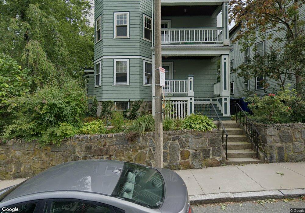
20 Wachusett St Unit 3 Jamaica Plain, MA 02130
Jamaica Plain NeighborhoodEstimated Value: $629,000 - $663,255
2
Beds
1
Bath
1,117
Sq Ft
$575/Sq Ft
Est. Value
About This Home
This home is located at 20 Wachusett St Unit 3, Jamaica Plain, MA 02130 and is currently estimated at $642,564, approximately $575 per square foot. 20 Wachusett St Unit 3 is a home located in Suffolk County with nearby schools including The Croft School - Jamaica Plain.
Ownership History
Date
Name
Owned For
Owner Type
Purchase Details
Closed on
Dec 11, 2020
Sold by
Brown Paul J
Bought by
Paul J Brown T
Current Estimated Value
Purchase Details
Closed on
Aug 3, 1998
Sold by
Wachusett Street Nt 20
Bought by
Brown Paul J
Home Financials for this Owner
Home Financials are based on the most recent Mortgage that was taken out on this home.
Original Mortgage
$95,000
Interest Rate
6.92%
Mortgage Type
Purchase Money Mortgage
Create a Home Valuation Report for This Property
The Home Valuation Report is an in-depth analysis detailing your home's value as well as a comparison with similar homes in the area
Home Values in the Area
Average Home Value in this Area
Purchase History
| Date | Buyer | Sale Price | Title Company |
|---|---|---|---|
| Paul J Brown T | -- | None Available | |
| Brown Paul J | $100,000 | -- |
Source: Public Records
Mortgage History
| Date | Status | Borrower | Loan Amount |
|---|---|---|---|
| Previous Owner | Brown Paul J | $50,000 | |
| Previous Owner | Brown Paul J | $93,000 | |
| Previous Owner | Brown Paul J | $95,000 |
Source: Public Records
Tax History Compared to Growth
Tax History
| Year | Tax Paid | Tax Assessment Tax Assessment Total Assessment is a certain percentage of the fair market value that is determined by local assessors to be the total taxable value of land and additions on the property. | Land | Improvement |
|---|---|---|---|---|
| 2025 | $6,457 | $557,600 | $0 | $557,600 |
| 2024 | $5,641 | $517,500 | $0 | $517,500 |
| 2023 | $5,292 | $492,700 | $0 | $492,700 |
| 2022 | $5,057 | $464,800 | $0 | $464,800 |
| 2021 | $4,724 | $442,700 | $0 | $442,700 |
| 2020 | $4,149 | $392,900 | $0 | $392,900 |
| 2019 | $3,981 | $377,700 | $0 | $377,700 |
| 2018 | $3,843 | $366,700 | $0 | $366,700 |
| 2017 | $3,664 | $346,000 | $0 | $346,000 |
| 2016 | $3,556 | $323,300 | $0 | $323,300 |
| 2015 | $3,638 | $300,400 | $0 | $300,400 |
| 2014 | $3,564 | $283,300 | $0 | $283,300 |
Source: Public Records
Map
Nearby Homes
- 58 Weld Hill St Unit 2
- 11 Weld Hill St Unit 2
- 64 Hyde Park Ave Unit 3
- 26 Tower St
- 143-171 Hyde Park Ave Unit 169A
- 140 Wachusett St
- 178 Hyde Park Ave Unit 3
- 1 Catenaccia Way Unit 47
- 158 Wachusett St Unit 3
- 31 Rodman St Unit 2
- 31 Rodman St Unit 1
- 5 Hampstead Ln Unit 1
- 18-20 Northbourne Rd Unit 18
- 41 Brookley Rd Unit 2
- 156A South St Unit 1L
- 5 View South Ave Unit 1
- 50 Southbourne Rd
- 9-11 Boynton St Unit 2
- 3531 Washington St Unit 316
- 3531 Washington St Unit 411
- 20 Wachusett St Unit 2
- 20 Wachusett St Unit 1
- 20 Wachusett St
- 24 Wachusett St
- 24 Wachusett St Unit 1
- 28 Wachusett St
- 21 Wachusett St Unit 3
- 21 Wachusett St Unit 2
- 21 Wachusett St Unit 1
- 25 Wachusett St
- 9 Barlow St Unit 3
- 9 Barlow St Unit 2
- 9 Barlow St Unit 1
- 42 Wellington St Unit 44
- 29 Wachusett St Unit 3
- 29 Wachusett St Unit 2
- 29 Wachusett St Unit 1
- 17 Wachusett St Unit 2
- 17 Wachusett St
- 17 Wachusett St