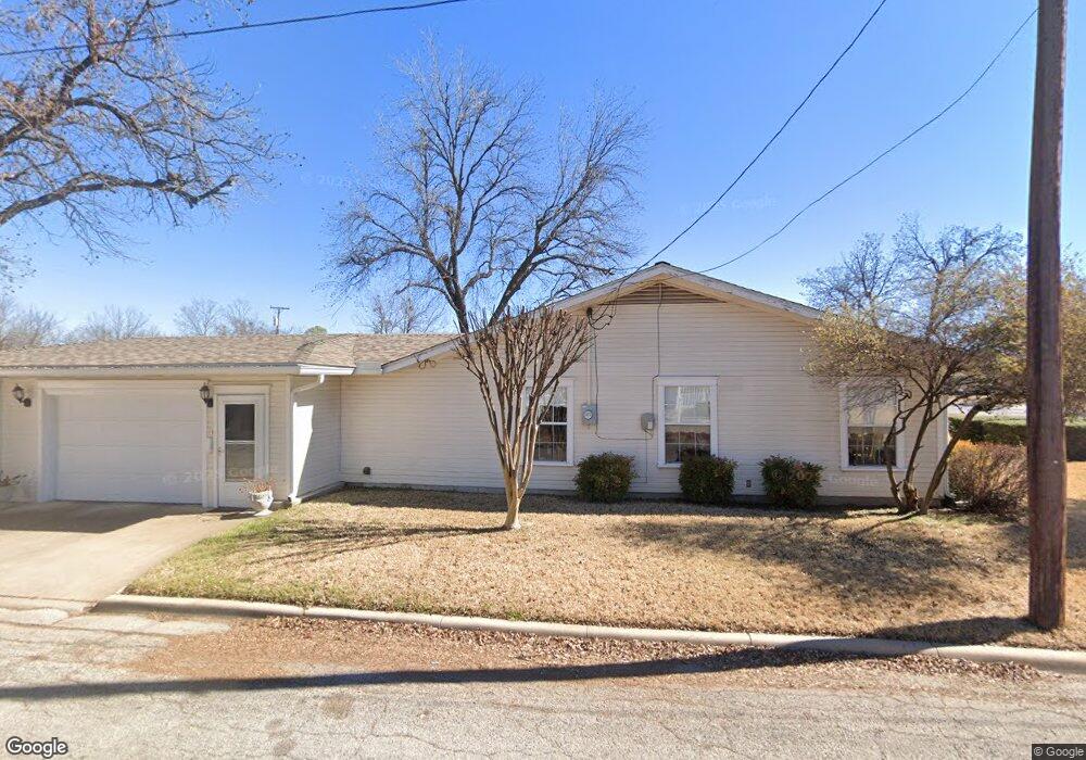
2000 4th St Brownwood, TX 76801
Estimated Value: $203,757 - $269,000
--
Bed
--
Bath
2,101
Sq Ft
$117/Sq Ft
Est. Value
About This Home
This home is located at 2000 4th St, Brownwood, TX 76801 and is currently estimated at $245,189, approximately $116 per square foot. 2000 4th St is a home located in Brown County with nearby schools including East Elementary School, Coggin Intermediate School, and Brownwood Intermediate School.
Ownership History
Date
Name
Owned For
Owner Type
Purchase Details
Closed on
Oct 31, 2005
Sold by
Brown Billie Sue and Brown Charles Lee
Bought by
Hunter Mattie Sue
Current Estimated Value
Home Financials for this Owner
Home Financials are based on the most recent Mortgage that was taken out on this home.
Original Mortgage
$16,000
Outstanding Balance
$8,559
Interest Rate
5.75%
Mortgage Type
Purchase Money Mortgage
Estimated Equity
$236,630
Create a Home Valuation Report for This Property
The Home Valuation Report is an in-depth analysis detailing your home's value as well as a comparison with similar homes in the area
Home Values in the Area
Average Home Value in this Area
Purchase History
| Date | Buyer | Sale Price | Title Company |
|---|---|---|---|
| Hunter Mattie Sue | -- | None Available |
Source: Public Records
Mortgage History
| Date | Status | Borrower | Loan Amount |
|---|---|---|---|
| Open | Hunter Mattie Sue | $16,000 |
Source: Public Records
Tax History Compared to Growth
Tax History
| Year | Tax Paid | Tax Assessment Tax Assessment Total Assessment is a certain percentage of the fair market value that is determined by local assessors to be the total taxable value of land and additions on the property. | Land | Improvement |
|---|---|---|---|---|
| 2025 | $4,205 | $197,171 | $0 | $0 |
| 2024 | $3,823 | $196,640 | $9,210 | $187,430 |
| 2023 | $3,520 | $199,700 | $9,210 | $190,490 |
| 2022 | $2,860 | $178,390 | $2,800 | $175,590 |
| 2021 | $3,278 | $134,670 | $2,800 | $131,870 |
| 2020 | $3,538 | $140,830 | $2,800 | $138,030 |
| 2019 | $3,418 | $131,110 | $2,800 | $128,310 |
| 2018 | $3,292 | $125,000 | $2,800 | $122,200 |
| 2017 | $3,213 | $125,000 | $2,800 | $122,200 |
| 2016 | $2,851 | $110,920 | $2,800 | $108,120 |
| 2015 | -- | $110,920 | $2,800 | $108,120 |
| 2014 | -- | $110,920 | $2,800 | $108,120 |
Source: Public Records
Map
Nearby Homes
- 1907 Southside Dr
- 1811 4th St
- 2010 4th St
- 1803 4th St
- 2100 Belmeade St
- 2105 4th St
- 1700 4th St
- 2203 Southside Dr
- 2204 Berkley St
- 1611 3rd St
- 1909 8th St
- 2204 Dartmore St
- 1703 7th St
- 1605 6th St
- 2303 4th St
- 1215 Avenue J
- Harrison Plan at South Hampton - Liberty Series
- Monroe Plan at South Hampton - Liberty Series
- 2001 Brook Ln
- 2010 Brook Ln