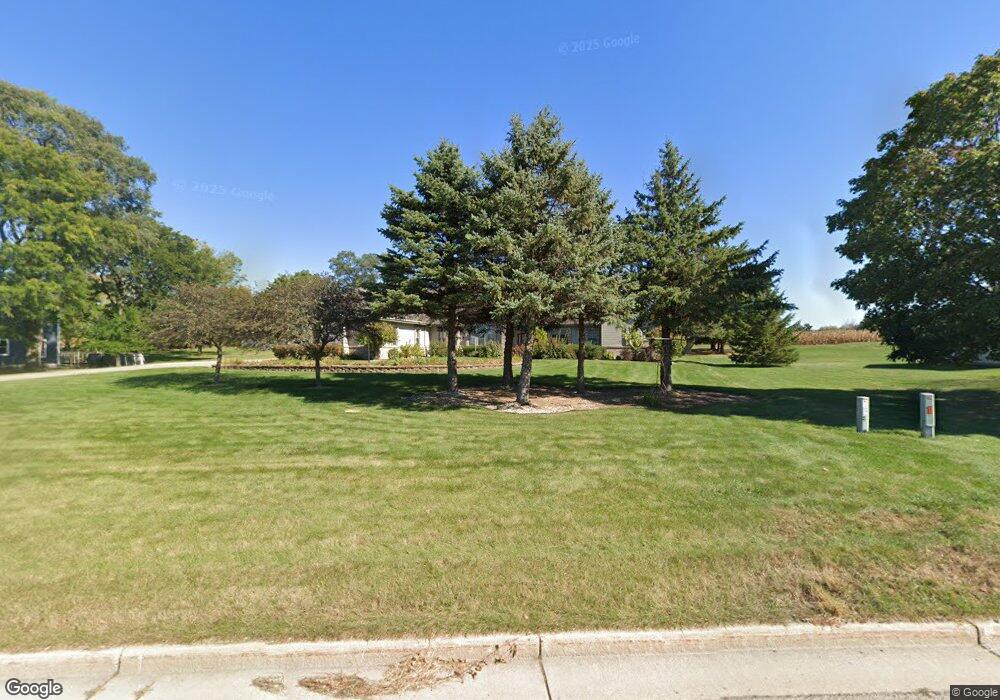
2001 Airport Rd Watertown, WI 53094
Estimated Value: $710,981 - $847,000
5
Beds
4
Baths
4,536
Sq Ft
$173/Sq Ft
Est. Value
About This Home
This home is located at 2001 Airport Rd, Watertown, WI 53094 and is currently estimated at $785,327, approximately $173 per square foot. 2001 Airport Rd is a home located in Jefferson County with nearby schools including Watertown High School, eCampus Academy Charter School, and Trinity-St. Luke's Lutheran Elementary School.
Ownership History
Date
Name
Owned For
Owner Type
Purchase Details
Closed on
Sep 25, 2012
Sold by
Air Way Properties Llc
Bought by
Greenwald James A and Greenwald Sharon L
Current Estimated Value
Home Financials for this Owner
Home Financials are based on the most recent Mortgage that was taken out on this home.
Original Mortgage
$315,000
Outstanding Balance
$218,845
Interest Rate
3.58%
Mortgage Type
New Conventional
Estimated Equity
$566,482
Purchase Details
Closed on
Mar 13, 2012
Sold by
Neitzel Clark F and Estate Of Deane A Neitzel
Bought by
Air Way Properties Llc
Create a Home Valuation Report for This Property
The Home Valuation Report is an in-depth analysis detailing your home's value as well as a comparison with similar homes in the area
Home Values in the Area
Average Home Value in this Area
Purchase History
| Date | Buyer | Sale Price | Title Company |
|---|---|---|---|
| Greenwald James A | $415,000 | None Available | |
| Air Way Properties Llc | -- | None Available |
Source: Public Records
Mortgage History
| Date | Status | Borrower | Loan Amount |
|---|---|---|---|
| Open | Greenwald James A | $315,000 |
Source: Public Records
Tax History Compared to Growth
Tax History
| Year | Tax Paid | Tax Assessment Tax Assessment Total Assessment is a certain percentage of the fair market value that is determined by local assessors to be the total taxable value of land and additions on the property. | Land | Improvement |
|---|---|---|---|---|
| 2024 | $9,856 | $656,300 | $76,200 | $580,100 |
| 2023 | $9,883 | $564,900 | $60,900 | $504,000 |
| 2022 | $9,945 | $564,900 | $60,900 | $504,000 |
| 2021 | $10,380 | $411,000 | $50,500 | $360,500 |
| 2020 | $10,336 | $411,000 | $50,500 | $360,500 |
| 2019 | $10,075 | $411,000 | $50,500 | $360,500 |
| 2018 | $9,820 | $411,000 | $50,500 | $360,500 |
| 2017 | $9,371 | $411,000 | $50,500 | $360,500 |
| 2016 | $9,248 | $411,000 | $50,500 | $360,500 |
| 2015 | $9,242 | $411,000 | $50,500 | $360,500 |
| 2014 | $9,373 | $411,000 | $50,500 | $360,500 |
| 2013 | $9,550 | $411,000 | $50,500 | $360,500 |
Source: Public Records
Map
Nearby Homes
- Lt0 Gateway Dr
- 908 Franklin St
- 1507 S 10th St
- 0 E Confidential St Unit 1889932
- 1418 S 9th St
- 1314 Waldron St
- 1313 Utah St
- 1330 S 10th St
- 131 Cedar Ct
- 1215 Utah St
- 758 Johnson St
- 750 Johnson St
- The Saybrook Plan at Rock River Ridge
- The Atwater Plan at Rock River Ridge
- The Hudson Plan at Rock River Ridge
- The Coral Plan at Rock River Ridge
- The Drake Plan at Rock River Ridge
- The Addison Plan at Rock River Ridge
- The Bradford Plan at Rock River Ridge
- The Catalina Plan at Rock River Ridge
- 2002 Airport Rd
- Lot 71 Gateway Dr
- 1931 Gateway Dr
- Lt0 Gateway Dr Unit Lt0
- N8570 Airport Rd
- 1929 Gateway Dr
- N8560 Airport Rd
- 1909 Gateway Dr
- 1905 Gateway Dr
- L2 Gateway Dr
- 1920 Gateway Dr
- 1920 Gateway Dr Unit 1920
- 1923 Gateway Dr Unit 1925
- N8538 Airport Rd
- 1925 Gateway Dr
- 2011 Airport Rd
- N8526 Airport Rd
- N8516 Airport Rd
- N8506 Airport Rd
- Lt1 Airport Rd