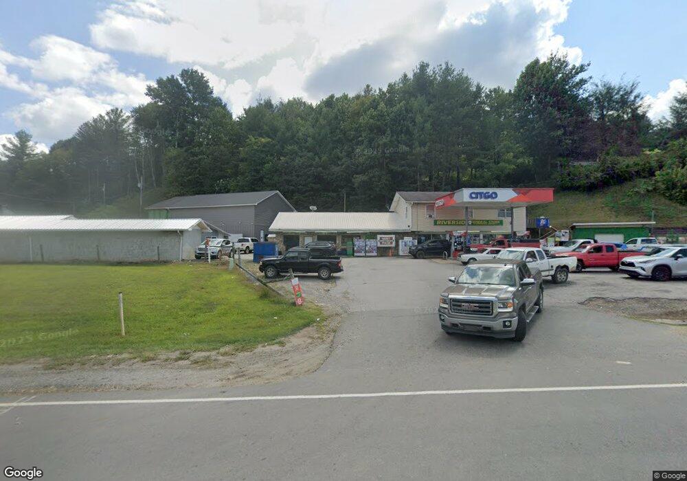
2001 W Us Highway 19 E Burnsville, NC 28714
Estimated Value: $526,802
--
Bed
1
Bath
3,880
Sq Ft
$136/Sq Ft
Est. Value
About This Home
This home is located at 2001 W Us Highway 19 E, Burnsville, NC 28714 and is currently estimated at $526,802, approximately $135 per square foot. 2001 W Us Highway 19 E is a home located in Yancey County with nearby schools including Mountain Heritage High School, Yancey County Christian School, and Arthur Morgan School.
Ownership History
Date
Name
Owned For
Owner Type
Purchase Details
Closed on
Nov 16, 2021
Sold by
Lisenbee Jason and Lisenbee Anna Tipton
Bought by
Mahrosh Llc
Current Estimated Value
Home Financials for this Owner
Home Financials are based on the most recent Mortgage that was taken out on this home.
Original Mortgage
$250,000
Interest Rate
2.99%
Mortgage Type
Seller Take Back
Purchase Details
Closed on
Apr 1, 2013
Sold by
Ridge Phillip Dean
Bought by
Tipton Anna and Lisenbee Jason
Create a Home Valuation Report for This Property
The Home Valuation Report is an in-depth analysis detailing your home's value as well as a comparison with similar homes in the area
Home Values in the Area
Average Home Value in this Area
Purchase History
| Date | Buyer | Sale Price | Title Company |
|---|---|---|---|
| Mahrosh Llc | $400,000 | None Available | |
| Tipton Anna | $150,000 | None Available |
Source: Public Records
Mortgage History
| Date | Status | Borrower | Loan Amount |
|---|---|---|---|
| Closed | Mahrosh Llc | $250,000 |
Source: Public Records
Tax History Compared to Growth
Tax History
| Year | Tax Paid | Tax Assessment Tax Assessment Total Assessment is a certain percentage of the fair market value that is determined by local assessors to be the total taxable value of land and additions on the property. | Land | Improvement |
|---|---|---|---|---|
| 2025 | $4,075 | $727,700 | $547,900 | $179,800 |
| 2024 | $4,075 | $727,700 | $547,900 | $179,800 |
| 2023 | $2,814 | $439,740 | $293,000 | $146,740 |
| 2022 | $2,758 | $439,740 | $293,000 | $146,740 |
| 2021 | $2,814 | $439,740 | $293,000 | $146,740 |
| 2020 | $2,814 | $439,740 | $293,000 | $146,740 |
| 2019 | $2,814 | $439,740 | $293,000 | $146,740 |
| 2018 | $2,814 | $439,740 | $293,000 | $146,740 |
| 2017 | $2,814 | $439,740 | $293,000 | $146,740 |
| 2016 | $2,814 | $439,740 | $293,000 | $146,740 |
| 2015 | $1,393 | $257,900 | $111,600 | $146,300 |
| 2014 | $1,393 | $257,900 | $111,600 | $146,300 |
Source: Public Records
Map
Nearby Homes
- 117 River Look Dr
- 81 River Look Dr
- 00 Riverside Hills Rd Unit 9
- 208 Stillwater Springs Rd
- 57 Stillwater Springs Rd
- 137 Red Maple Ln
- 124 W Dogwood Cir
- 300 Dogwood Ln
- 318 Sandy Way
- 9999 River Edge Dr Unit 2
- LOT15 Mountain Heritage Rd
- 0000 Wheeler Hills Rd
- 000 Wheeler Hills Rd
- 95 Friendship Rd
- 98 Cardinal Crest Dr
- 170 Styles Rd
- 1361 Bakers Creek
- 000 Mountain Air Dr
- TBD Mountain View Rd
- Lot 3 Mountain View Rd
- 141 River Look Dr
- 00 Bakers Creek Rd
- 0 Bakers Creek Rd Unit NCM563450
- 22 Bakers Creek Rd
- 128 River Look Dr
- 26 Bakers Creek Rd
- 99 River Look Dr
- 199 River Look Dr
- 160 River Look Dr
- 160 River Look Dr Unit 51 Ralph Ray Propert
- 100 River Look Dr
- 61 Bakers Creek Rd
- 111 Riverside Dr
- 44 River Look Dr
- 21 Oakland Dr
- Lot#56 Baker's Creek
- Lot #60 Jacks Knob Unit 60
- 29 John Deere Dr
- 29 John Deere Dr
- 8 Comet Rd