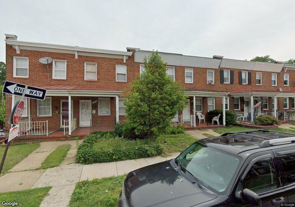
2005 Griffis Ave Baltimore, MD 21230
Morrell Park NeighborhoodEstimated Value: $87,061 - $131,000
--
Bed
1
Bath
1,020
Sq Ft
$107/Sq Ft
Est. Value
About This Home
This home is located at 2005 Griffis Ave, Baltimore, MD 21230 and is currently estimated at $109,031, approximately $106 per square foot. 2005 Griffis Ave is a home located in Baltimore City with nearby schools including Morrell Park Elementary/Middle School, Booker T. Washington Middle School, and Edmondson Westside High School.
Ownership History
Date
Name
Owned For
Owner Type
Purchase Details
Closed on
Apr 29, 2004
Sold by
Cox Amy S
Bought by
Johnson Michael A
Current Estimated Value
Purchase Details
Closed on
Jul 6, 1994
Sold by
Thomas J L
Bought by
Cox Amy S
Home Financials for this Owner
Home Financials are based on the most recent Mortgage that was taken out on this home.
Original Mortgage
$64,150
Interest Rate
8.51%
Create a Home Valuation Report for This Property
The Home Valuation Report is an in-depth analysis detailing your home's value as well as a comparison with similar homes in the area
Home Values in the Area
Average Home Value in this Area
Purchase History
| Date | Buyer | Sale Price | Title Company |
|---|---|---|---|
| Johnson Michael A | $66,700 | -- | |
| Cox Amy S | $63,000 | -- |
Source: Public Records
Mortgage History
| Date | Status | Borrower | Loan Amount |
|---|---|---|---|
| Previous Owner | Cox Amy S | $64,150 |
Source: Public Records
Tax History Compared to Growth
Tax History
| Year | Tax Paid | Tax Assessment Tax Assessment Total Assessment is a certain percentage of the fair market value that is determined by local assessors to be the total taxable value of land and additions on the property. | Land | Improvement |
|---|---|---|---|---|
| 2025 | $828 | $39,333 | -- | -- |
| 2024 | $828 | $38,667 | $0 | $0 |
| 2023 | $897 | $38,000 | $7,000 | $31,000 |
| 2022 | $811 | $38,000 | $7,000 | $31,000 |
| 2021 | $897 | $38,000 | $7,000 | $31,000 |
| 2020 | $809 | $38,000 | $7,000 | $31,000 |
| 2019 | $805 | $38,000 | $7,000 | $31,000 |
| 2018 | $819 | $38,000 | $7,000 | $31,000 |
| 2017 | $1,492 | $67,400 | $0 | $0 |
| 2016 | $1,708 | $67,400 | $0 | $0 |
| 2015 | $1,708 | $67,400 | $0 | $0 |
| 2014 | $1,708 | $112,100 | $0 | $0 |
Source: Public Records
Map
Nearby Homes
- 2012 Griffis Ave
- 2052 Griffis Ave
- 1933 Griffis Ave
- 2006 Grinnalds Ave
- 1919 Grinnalds Ave
- 1915 Griffis Ave
- 2507 Washington Blvd
- 0 Harman Ave
- 2104 Whistler Ave
- 2506 Washington Blvd
- 2129 Parksley Ave
- 1715 Spence St
- 2536 Washington Blvd
- 1703 - 1707 1/2 Spence St
- 1707 Harman Ave
- 1918 Parksley Ave
- 1701 Spence St
- 2305 Herkimer St
- 1962 Sponson St
- 2410 Huron St
- 2007 Griffis Ave
- 2009 Griffis Ave
- 2003 Griffis Ave
- 2011 Griffis Ave
- 2001 Griffis Ave
- 2013 Griffis Ave
- 2015 Griffis Ave
- 2017 Griffis Ave
- 2019 Griffis Ave
- 2021 Griffis Ave
- 1953 Griffis Ave
- 1930 Breitwert Ave
- 2023 Griffis Ave
- 1951 Griffis Ave
- 1934 Breitwert Ave
- 2025 Griffis Ave
- 1924 Breitwert Ave
- 1949 Griffis Ave
- 2006 Griffis Ave
- 2004 Griffis Ave