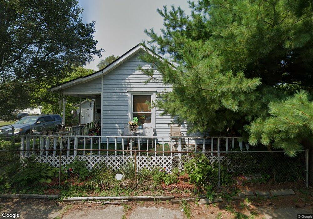
2005 Howard Ave Middletown, OH 45044
Sherman NeighborhoodEstimated Value: $91,000 - $141,000
2
Beds
1
Bath
792
Sq Ft
$142/Sq Ft
Est. Value
About This Home
This home is located at 2005 Howard Ave, Middletown, OH 45044 and is currently estimated at $112,280, approximately $141 per square foot. 2005 Howard Ave is a home located in Butler County with nearby schools including Amanda Elementary School, Highview 6th Grade Center, and Middletown Middle School.
Ownership History
Date
Name
Owned For
Owner Type
Purchase Details
Closed on
Feb 2, 2016
Sold by
Nolting Rod A
Bought by
Spaulding Rebecca A
Current Estimated Value
Purchase Details
Closed on
May 6, 2009
Sold by
Nolting Rod A
Bought by
Nolting Rod A and Spaulding Rebecca A
Purchase Details
Closed on
Jan 14, 2009
Sold by
Deutsche Bank National Trust Company
Bought by
Nolting Rod A
Purchase Details
Closed on
Nov 10, 2008
Sold by
Hensley Edward R
Bought by
Deutsche Bank National Trust Company
Purchase Details
Closed on
Jun 1, 1985
Create a Home Valuation Report for This Property
The Home Valuation Report is an in-depth analysis detailing your home's value as well as a comparison with similar homes in the area
Home Values in the Area
Average Home Value in this Area
Purchase History
| Date | Buyer | Sale Price | Title Company |
|---|---|---|---|
| Spaulding Rebecca A | -- | None Available | |
| Nolting Rod A | $4,500 | Attorney | |
| Nolting Rod A | $4,500 | Title First Agency Inc | |
| Deutsche Bank National Trust Company | $30,200 | None Available | |
| -- | $28,000 | -- |
Source: Public Records
Tax History Compared to Growth
Tax History
| Year | Tax Paid | Tax Assessment Tax Assessment Total Assessment is a certain percentage of the fair market value that is determined by local assessors to be the total taxable value of land and additions on the property. | Land | Improvement |
|---|---|---|---|---|
| 2024 | $844 | $15,930 | $3,480 | $12,450 |
| 2023 | $839 | $15,930 | $3,480 | $12,450 |
| 2022 | $1,145 | $12,410 | $3,480 | $8,930 |
| 2021 | $712 | $12,410 | $3,480 | $8,930 |
| 2020 | $742 | $12,410 | $3,480 | $8,930 |
| 2019 | $443 | $7,000 | $3,580 | $3,420 |
| 2018 | $453 | $7,000 | $3,580 | $3,420 |
| 2017 | $454 | $7,000 | $3,580 | $3,420 |
| 2016 | $474 | $7,000 | $3,580 | $3,420 |
| 2015 | $1,713 | $7,000 | $3,580 | $3,420 |
| 2014 | $97 | $7,000 | $3,580 | $3,420 |
| 2013 | $97 | $1,580 | $320 | $1,260 |
Source: Public Records
Map
Nearby Homes
- 319 Moore St
- 1814.5 Logan Ave
- 2016 Linden Ave
- 408 Moore St
- 410 Moore St
- 2007 Central Ave
- 1814 Logan Ave
- 2112 Central Ave
- 2208 Superior Ave
- 2113 Central Ave
- 2115 Central Ave
- 401 S Sutphin St
- 2124 Sherman Ave
- 2119 Central Ave
- 407 S Sutphin St
- 113 N Sutphin St
- 19 Mckinley St
- 206 N Sutphin St
- 2420 Superior Ave
- 401 Garfield St
- 2000 Arlington Ave
- 2004 Arlington Ave
- 2002 Arlington Ave
- 2011 Howard Ave
- 2004 Howard Ave
- 2013 Howard Ave
- 303 Moore St
- 2006 Arlington Ave
- 307 Moore St
- 206 Moore St
- 2015 Howard Ave
- 309 Moore St
- 1920 Arlington Ave
- 2008 Arlington Ave
- 2006 Howard Ave
- 121 Moore St
- 311 Moore St
- 313 Moore St
- 1918 Arlington Ave
- 2017 Howard Ave