Estimated Value: $304,000 - $424,000
--
Bed
1
Bath
1,711
Sq Ft
$221/Sq Ft
Est. Value
About This Home
This home is located at 2009 County Road 695a, Alvin, TX 77511 and is currently estimated at $378,420, approximately $221 per square foot. 2009 County Road 695a is a home located in Brazoria County with nearby schools including R.L. Stevenson Primary School, Alvin Junior High School, and Alvin High School.
Ownership History
Date
Name
Owned For
Owner Type
Purchase Details
Closed on
Feb 18, 2009
Sold by
Filkins Mary Theresa and Estate Of Janet Mildred Hindma
Bought by
Filkins Mary Theresa and Hindman David Allen
Current Estimated Value
Purchase Details
Closed on
Mar 6, 1998
Sold by
Gulfport Development Company
Bought by
Perna Charles J and Perna Mary T
Home Financials for this Owner
Home Financials are based on the most recent Mortgage that was taken out on this home.
Original Mortgage
$54,500
Outstanding Balance
$13,104
Interest Rate
10.5%
Mortgage Type
Seller Take Back
Estimated Equity
$365,316
Create a Home Valuation Report for This Property
The Home Valuation Report is an in-depth analysis detailing your home's value as well as a comparison with similar homes in the area
Home Values in the Area
Average Home Value in this Area
Purchase History
| Date | Buyer | Sale Price | Title Company |
|---|---|---|---|
| Filkins Mary Theresa | -- | None Available | |
| Perna Charles J | -- | -- |
Source: Public Records
Mortgage History
| Date | Status | Borrower | Loan Amount |
|---|---|---|---|
| Open | Perna Charles J | $54,500 |
Source: Public Records
Tax History Compared to Growth
Tax History
| Year | Tax Paid | Tax Assessment Tax Assessment Total Assessment is a certain percentage of the fair market value that is determined by local assessors to be the total taxable value of land and additions on the property. | Land | Improvement |
|---|---|---|---|---|
| 2025 | $4,564 | $357,174 | $159,210 | $200,430 |
| 2023 | $4,564 | $295,185 | $159,210 | $202,790 |
| 2022 | $5,718 | $268,350 | $90,980 | $177,370 |
| 2021 | $5,573 | $268,370 | $90,980 | $177,390 |
| 2020 | $5,134 | $228,310 | $75,820 | $152,490 |
| 2019 | $5,296 | $228,750 | $75,820 | $152,930 |
| 2018 | $5,218 | $224,800 | $75,820 | $148,980 |
| 2017 | $4,965 | $211,360 | $75,820 | $135,540 |
| 2016 | $4,965 | $211,360 | $75,820 | $135,540 |
| 2015 | $3,907 | $205,090 | $75,820 | $129,270 |
| 2014 | $3,907 | $184,190 | $75,820 | $108,370 |
Source: Public Records
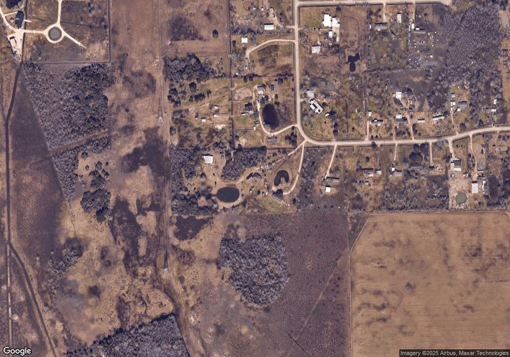
Map
Nearby Homes
- 3889 County Road 155
- 29818 E Highway 6
- 863 County Road 925b
- 5353 County Road 154
- 4140 E Highway 6
- 2518 County Road 160
- 4029 County Road 326
- 3240 County Road 155
- 000 County Road 154 Mustang
- 0 County Road 154 Mustang
- 3610 E Highway 6
- 17503 Algoa Rd
- 3150 E Highway 6
- 3724 County Road 326
- 3828 County Road 326
- 3373 E Highway 6
- 1500 Algoa Rd
- 2234 County Road 155
- 18810 Dunbar Cir
- 0000 Cr 160
- 2013 County Road 695a
- 1095 County Road 695
- 1095 Meadow Ln
- 1071 County Road 695
- 104 Meadow Ln
- 3037 Meadow Park
- 121 Wilderness Trail Unit 695A
- 3041 Meadow Park
- 1059 County Road 695
- 2080 County Road 695a
- 3031 County Road 695b
- 1051 County Road 695a
- 1523 Avenue L
- 3594 County Road 531
- 1023 County Road 695
- 5625 County Road 695
- 3049 County Road 695b
- 2027 County Road 695
- 1035 County Road 695
- 5421 County Road 155