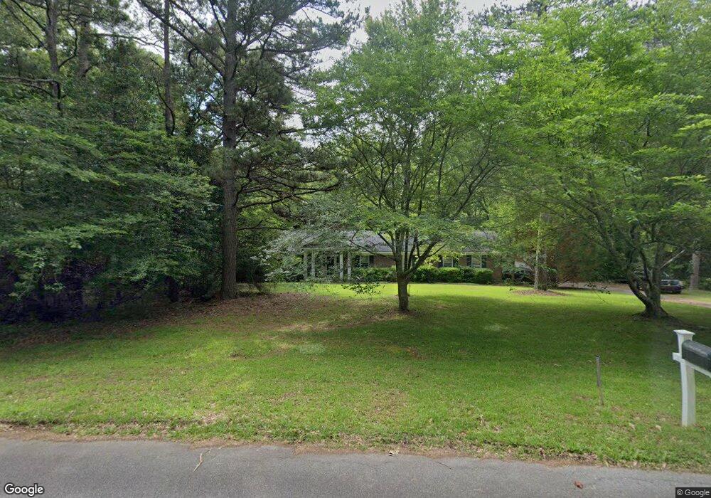
201 Loraine Woods Dr Macon, GA 31210
Estimated Value: $276,743 - $362,000
1
Bed
2
Baths
1,689
Sq Ft
$186/Sq Ft
Est. Value
About This Home
This home is located at 201 Loraine Woods Dr, Macon, GA 31210 and is currently estimated at $313,436, approximately $185 per square foot. 201 Loraine Woods Dr is a home located in Monroe County with nearby schools including T.G. Scott Elementary School, Mary Persons High School, and St. Andrews Montessori School.
Ownership History
Date
Name
Owned For
Owner Type
Purchase Details
Closed on
Mar 31, 2006
Sold by
Not Provided
Bought by
Smith Randolph L
Current Estimated Value
Home Financials for this Owner
Home Financials are based on the most recent Mortgage that was taken out on this home.
Original Mortgage
$151,200
Outstanding Balance
$86,990
Interest Rate
6.38%
Mortgage Type
New Conventional
Estimated Equity
$226,446
Purchase Details
Closed on
Feb 3, 1998
Sold by
Federal Home Loan Mortgage Corporation
Bought by
Mortgage Guaranty Insurance Corporation
Purchase Details
Closed on
Aug 25, 1995
Sold by
Holt Stuart M and Holt Bernette R
Bought by
Ellis Steven S and Ellis Wanda J
Purchase Details
Closed on
Sep 25, 1992
Sold by
Coe Elmon Lee and Mary Hering Coe
Bought by
Holt Stuart M and Holt Bernette R
Create a Home Valuation Report for This Property
The Home Valuation Report is an in-depth analysis detailing your home's value as well as a comparison with similar homes in the area
Home Values in the Area
Average Home Value in this Area
Purchase History
| Date | Buyer | Sale Price | Title Company |
|---|---|---|---|
| Smith Randolph L | $168,000 | -- | |
| Mortgage Guaranty Insurance Corporation | $107,500 | -- | |
| Federal Home Loan Mortgage Corporation | -- | -- | |
| Ellis Steven S | $114,000 | -- | |
| Holt Stuart M | $96,000 | -- |
Source: Public Records
Mortgage History
| Date | Status | Borrower | Loan Amount |
|---|---|---|---|
| Open | Smith Randolph L | $151,200 |
Source: Public Records
Tax History Compared to Growth
Tax History
| Year | Tax Paid | Tax Assessment Tax Assessment Total Assessment is a certain percentage of the fair market value that is determined by local assessors to be the total taxable value of land and additions on the property. | Land | Improvement |
|---|---|---|---|---|
| 2024 | $1,567 | $67,680 | $25,400 | $42,280 |
| 2023 | $1,504 | $60,640 | $25,400 | $35,240 |
| 2022 | $1,317 | $60,640 | $25,400 | $35,240 |
| 2021 | $1,363 | $60,640 | $25,400 | $35,240 |
| 2020 | $1,398 | $60,640 | $25,400 | $35,240 |
| 2019 | $1,409 | $60,640 | $25,400 | $35,240 |
| 2018 | $1,413 | $60,640 | $25,400 | $35,240 |
| 2017 | $1,763 | $60,640 | $25,400 | $35,240 |
| 2016 | $1,344 | $60,640 | $25,400 | $35,240 |
| 2015 | $1,275 | $60,640 | $25,400 | $35,240 |
| 2014 | $1,230 | $60,640 | $25,400 | $35,240 |
Source: Public Records
Map
Nearby Homes
- 203 Loraine Woods Dr
- 109 Loraine Woods Dr
- 101 Hilltop Cir
- 205 Loraine Woods Dr
- 105 Loraine Woods Dr
- 100 Hilltop Cir
- 120 Hilltop Cir
- 130 Hilltop Cir
- 207 Loraine Woods Dr
- 111 Hilltop Cir
- 150 Loraine Forest Dr
- 204 Loraine Woods Dr
- 140 Loraine Forest Dr
- 110 Hilltop Cir
- 158 Loraine Forest Dr
- 7369 Us Highway 41 S
- 209 Loraine Woods Dr
- 121 Hilltop Cir
- 206 Loraine Woods Dr
- 0 Loraine Forest Dr