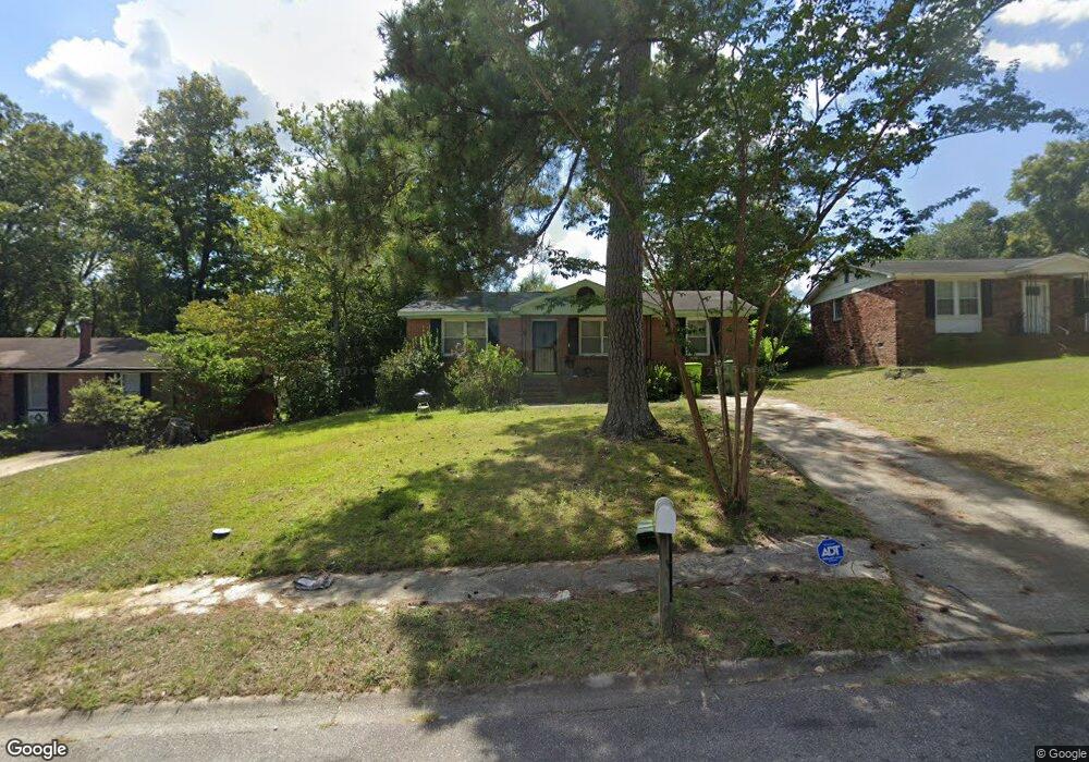
201 Mayfair Dr Columbia, SC 29209
Southeast Columbia NeighborhoodEstimated Value: $117,000 - $145,000
3
Beds
1
Bath
1,075
Sq Ft
$127/Sq Ft
Est. Value
About This Home
This home is located at 201 Mayfair Dr, Columbia, SC 29209 and is currently estimated at $136,536, approximately $127 per square foot. 201 Mayfair Dr is a home located in Richland County with nearby schools including Caughman Road Elementary School, Hopkins Middle School, and Lower Richland High School.
Ownership History
Date
Name
Owned For
Owner Type
Purchase Details
Closed on
Mar 19, 2015
Sold by
Richland County
Bought by
Ltr Investments Llc
Current Estimated Value
Purchase Details
Closed on
Apr 27, 2005
Sold by
Coward Marilyn L
Bought by
Burris Keleey T
Home Financials for this Owner
Home Financials are based on the most recent Mortgage that was taken out on this home.
Original Mortgage
$68,550
Interest Rate
7.87%
Mortgage Type
Fannie Mae Freddie Mac
Create a Home Valuation Report for This Property
The Home Valuation Report is an in-depth analysis detailing your home's value as well as a comparison with similar homes in the area
Home Values in the Area
Average Home Value in this Area
Purchase History
| Date | Buyer | Sale Price | Title Company |
|---|---|---|---|
| Ltr Investments Llc | $9,942 | -- | |
| Burris Keleey T | $68,550 | -- |
Source: Public Records
Mortgage History
| Date | Status | Borrower | Loan Amount |
|---|---|---|---|
| Previous Owner | Burris Keleey T | $68,550 |
Source: Public Records
Tax History Compared to Growth
Tax History
| Year | Tax Paid | Tax Assessment Tax Assessment Total Assessment is a certain percentage of the fair market value that is determined by local assessors to be the total taxable value of land and additions on the property. | Land | Improvement |
|---|---|---|---|---|
| 2024 | $1,515 | $43,000 | $0 | $0 |
| 2023 | $1,475 | $1,496 | $0 | $0 |
| 2022 | $1,349 | $37,400 | $4,600 | $32,800 |
| 2021 | $1,329 | $2,240 | $0 | $0 |
| 2020 | $1,335 | $2,240 | $0 | $0 |
| 2019 | $1,303 | $2,240 | $0 | $0 |
| 2018 | $1,143 | $1,950 | $0 | $0 |
| 2017 | $1,116 | $1,950 | $0 | $0 |
| 2016 | $1,100 | $1,950 | $0 | $0 |
| 2015 | $467 | $1,300 | $0 | $0 |
| 2014 | $459 | $32,500 | $0 | $0 |
| 2013 | -- | $1,300 | $0 | $0 |
Source: Public Records
Map
Nearby Homes
- 115 Bent Holly Dr
- 125 Bent Holly Dr
- 3716 Lee Hills Dr
- 3901 Lee Hills Dr
- 3719 Old Leesburg Rd
- 3612 Old Leesburg Rd
- 3613 Padgett Rd
- 117 Crestmore Dr
- 2183 Elmridge Rd
- 2024 Elmridge Rd
- 372 Sandbach Rd
- 1079 Belmont Green Rd
- 1095 Belmont Green Rd
- 313 Downs Dr
- 3853 Lochmore Dr
- Loblolly A Plan at Canary Woods
- Magnolia Plan at Canary Woods
- Loblolly L Plan at Canary Woods
- Poplar A Plan at Canary Woods
- Spruce A Plan at Canary Woods
- 121 Mayfair Dr
- 205 Mayfair Dr
- 229 Shoreditch Dr
- 301 Shoreditch Dr
- 117 Mayfair Dr
- 209 Mayfair Dr
- 305 Shoreditch Dr
- 225 Shoreditch Dr
- 116 Lambeth Dr
- 117 Lambeth Dr
- 113 Mayfair Dr
- 213 Mayfair Dr
- 309 Shoreditch Dr
- 210 Mayfair Dr
- 112 Mayfair Dr
- 113 Lambeth Dr
- 112 Lambeth Dr
- 221 Shoreditch Dr
- 109 Mayfair Dr
- 313 Shoreditch Dr