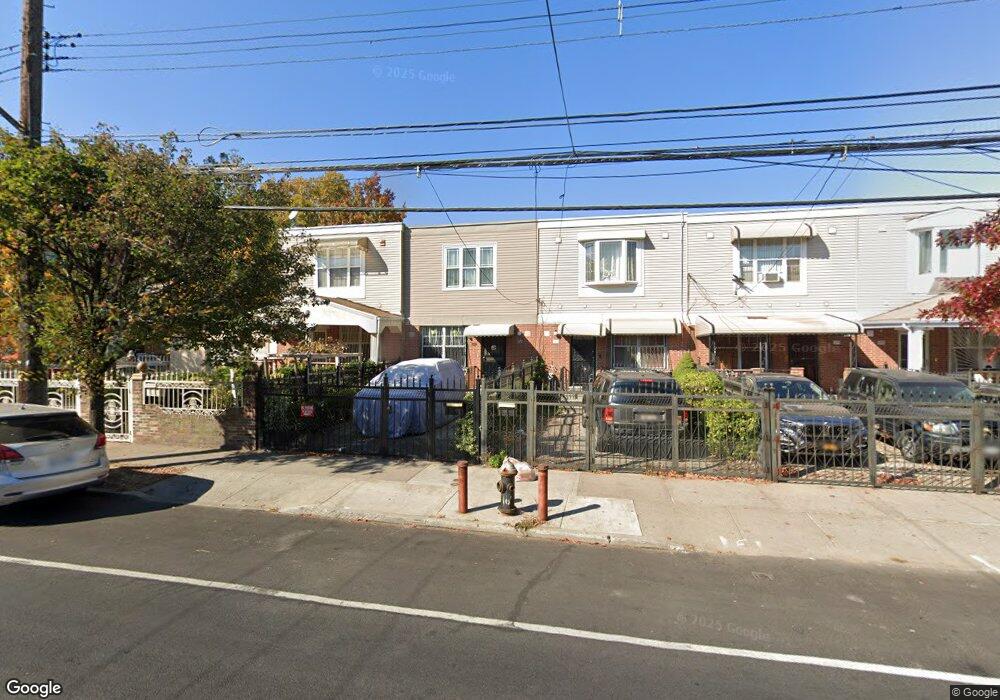
201 New Lots Ave Brooklyn, NY 11207
Brownsville NeighborhoodEstimated Value: $664,473 - $719,000
--
Bed
--
Bath
1,332
Sq Ft
$518/Sq Ft
Est. Value
About This Home
This home is located at 201 New Lots Ave, Brooklyn, NY 11207 and is currently estimated at $689,868, approximately $517 per square foot. 201 New Lots Ave is a home located in Kings County with nearby schools including P.S. 190 - Sheffield, Achievement First - East New York School, and Hyde Leadership Charter School-Brooklyn.
Ownership History
Date
Name
Owned For
Owner Type
Purchase Details
Closed on
Mar 24, 2004
Sold by
Nehemiah Housing Development Fund Compan
Bought by
Williams Kevin S
Current Estimated Value
Home Financials for this Owner
Home Financials are based on the most recent Mortgage that was taken out on this home.
Original Mortgage
$80,000
Interest Rate
5.6%
Create a Home Valuation Report for This Property
The Home Valuation Report is an in-depth analysis detailing your home's value as well as a comparison with similar homes in the area
Home Values in the Area
Average Home Value in this Area
Purchase History
| Date | Buyer | Sale Price | Title Company |
|---|---|---|---|
| Williams Kevin S | $105,420 | -- |
Source: Public Records
Mortgage History
| Date | Status | Borrower | Loan Amount |
|---|---|---|---|
| Previous Owner | Williams Kevin S | $80,000 |
Source: Public Records
Tax History Compared to Growth
Tax History
| Year | Tax Paid | Tax Assessment Tax Assessment Total Assessment is a certain percentage of the fair market value that is determined by local assessors to be the total taxable value of land and additions on the property. | Land | Improvement |
|---|---|---|---|---|
| 2025 | $5,989 | $38,100 | $17,940 | $20,160 |
| 2024 | $5,989 | $34,380 | $17,940 | $16,440 |
| 2023 | $5,673 | $40,920 | $17,940 | $22,980 |
| 2022 | $5,018 | $35,760 | $17,940 | $17,820 |
| 2021 | $4,683 | $31,740 | $17,940 | $13,800 |
| 2020 | $2,029 | $28,860 | $17,940 | $10,920 |
| 2019 | $3,772 | $27,240 | $17,940 | $9,300 |
| 2018 | $3,360 | $24,661 | $11,027 | $13,634 |
| 2017 | $2,797 | $23,266 | $9,632 | $13,634 |
| 2016 | $2,208 | $21,950 | $8,316 | $13,634 |
| 2015 | $566 | $20,709 | $7,075 | $13,634 |
| 2014 | $566 | $20,709 | $7,075 | $13,634 |
Source: Public Records
Map
Nearby Homes
- 442 Newport St
- 584 Hinsdale St
- 589 Hinsdale St
- 541 Hinsdale St
- 582 Williams Ave
- 578 Williams Ave
- 533 Snediker Ave
- 576 Williams Ave
- 650 Williams Ave
- 660 Williams Ave Unit 142
- 610 Alabama Ave
- 606 Alabama Ave
- 563 Powell St
- 1753 Linden Blvd
- 1755 Linden Blvd
- 546 Powell St
- 699 Sackman St
- 1825 Linden Blvd
- 679 Georgia Ave
- 555 Christopher Ave
- 203 New Lots Ave
- 205 New Lots Ave
- 205 New Lots Ave Unit Building
- 207 New Lots Ave
- 195 New Lots Ave
- 607 Snediker Ave
- 209 New Lots Ave
- 211 New Lots Ave
- 605 Snediker Ave
- 213 New Lots Ave
- 601 Snediker Ave
- 215 New Lots Ave
- 599 Snediker Ave
- 598 Hinsdale St
- 219 New Lots Ave
- 596 Hinsdale St
- 597 Snediker Ave
- 594 Hinsdale St
- 614 Snediker Ave
- 610 Snediker Ave