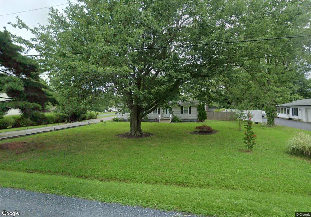
201 Penny Ln Stevensville, MD 21666
Romancoke NeighborhoodEstimated Value: $427,770 - $466,000
3
Beds
2
Baths
1,200
Sq Ft
$371/Sq Ft
Est. Value
About This Home
This home is located at 201 Penny Ln, Stevensville, MD 21666 and is currently estimated at $445,443, approximately $371 per square foot. 201 Penny Ln is a home located in Queen Anne's County with nearby schools including Matapeake Elementary School, Matapeake Middle School, and Kent Island High School.
Ownership History
Date
Name
Owned For
Owner Type
Purchase Details
Closed on
Jun 14, 2013
Sold by
Baker Loren M
Bought by
Two Farms Inc
Current Estimated Value
Purchase Details
Closed on
Oct 5, 2009
Sold by
Gardner Michael K and Gardner Helen M
Bought by
Baker Loren M
Purchase Details
Closed on
Jul 26, 2001
Sold by
White Keith E
Bought by
White Robin R
Create a Home Valuation Report for This Property
The Home Valuation Report is an in-depth analysis detailing your home's value as well as a comparison with similar homes in the area
Home Values in the Area
Average Home Value in this Area
Purchase History
| Date | Buyer | Sale Price | Title Company |
|---|---|---|---|
| Two Farms Inc | $275,000 | Sage Title Group Llc | |
| Baker Loren M | -- | -- | |
| White Robin R | $134,000 | -- |
Source: Public Records
Mortgage History
| Date | Status | Borrower | Loan Amount |
|---|---|---|---|
| Closed | White Robin R | -- |
Source: Public Records
Tax History Compared to Growth
Tax History
| Year | Tax Paid | Tax Assessment Tax Assessment Total Assessment is a certain percentage of the fair market value that is determined by local assessors to be the total taxable value of land and additions on the property. | Land | Improvement |
|---|---|---|---|---|
| 2025 | $2,696 | $308,600 | $0 | $0 |
| 2024 | $2,554 | $282,700 | $0 | $0 |
| 2023 | $2,419 | $256,800 | $151,300 | $105,500 |
| 2022 | $2,343 | $248,700 | $0 | $0 |
| 2021 | $2,290 | $240,600 | $0 | $0 |
| 2020 | $2,290 | $232,500 | $131,300 | $101,200 |
| 2019 | $2,290 | $232,500 | $131,300 | $101,200 |
| 2018 | $2,290 | $232,500 | $131,300 | $101,200 |
| 2017 | $2,330 | $242,400 | $0 | $0 |
| 2016 | -- | $229,533 | $0 | $0 |
| 2015 | $1,972 | $216,667 | $0 | $0 |
| 2014 | $1,972 | $203,800 | $0 | $0 |
Source: Public Records
Map
Nearby Homes
- 204 Long Point Rd
- 208 Long Point Rd
- 213 Pennick Dr
- 222 Long Point Rd
- 224 Long Point Rd
- 136 Allegany Rd
- 210 Pennick Dr
- 127 Long Point Rd
- 214 Pennick Dr
- 203 Olive Branch Rd
- 123 Long Point Rd
- 133 Olive Branch Rd
- Lot 8 Ackerman Dr
- 0 Ackerman Dr
- 212 Ackerman Dr
- 102 Golf Ct
- 9401 Romancoke Rd
- 211 Queen Anne Rd
- 8905 Romancoke Rd
- Lot 1 - E/Kent Point Romancoke
- 203 Penny Ln
- Lot 30 Penny Ln
- 200 Long Point Rd
- 202 Long Point Rd
- 200 Penny Ln
- 141 Penny Ln
- 204 Penny Ln
- 202 Penny Ln
- 207 Penny Ln
- 603 Claiborne Rd
- 144 Penny Ln
- 139 Penny Ln
- 206 Penny Ln
- 209 Penny Ln
- 212 Long Point Rd
- 0 Long Point Rd
- lot 35 and 37 Long Point Rd
- 142 Penny Ln
- 144 Long Point Rd
- 214 Long Point Rd