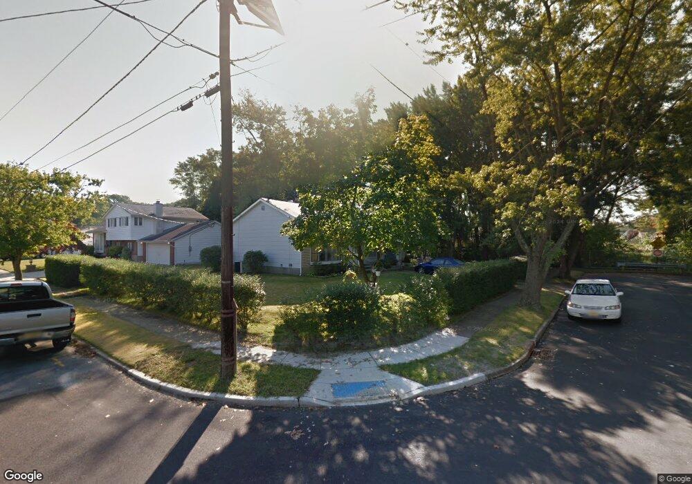
201 State St Blackwood, NJ 08012
Estimated Value: $285,783 - $353,000
--
Bed
--
Bath
1,246
Sq Ft
$258/Sq Ft
Est. Value
About This Home
This home is located at 201 State St, Blackwood, NJ 08012 and is currently estimated at $321,946, approximately $258 per square foot. 201 State St is a home located in Camden County with nearby schools including Highland Regional High School and St. Teresa Regional School.
Ownership History
Date
Name
Owned For
Owner Type
Purchase Details
Closed on
Sep 7, 2022
Sold by
Nierzwicki Stanley
Bought by
Walter Charles R
Current Estimated Value
Purchase Details
Closed on
Nov 5, 2013
Sold by
Walter Viletta M
Bought by
Nierzwicki Stanley and Walter Holly
Home Financials for this Owner
Home Financials are based on the most recent Mortgage that was taken out on this home.
Original Mortgage
$80,000
Interest Rate
4.29%
Mortgage Type
New Conventional
Create a Home Valuation Report for This Property
The Home Valuation Report is an in-depth analysis detailing your home's value as well as a comparison with similar homes in the area
Home Values in the Area
Average Home Value in this Area
Purchase History
| Date | Buyer | Sale Price | Title Company |
|---|---|---|---|
| Walter Charles R | $68,285 | -- | |
| Walter Charles R | $68,285 | None Listed On Document | |
| Nierzwicki Stanley | $130,000 | Fidelity Natl Title Ins Co |
Source: Public Records
Mortgage History
| Date | Status | Borrower | Loan Amount |
|---|---|---|---|
| Previous Owner | Nierzwicki Stanley | $80,000 |
Source: Public Records
Tax History Compared to Growth
Tax History
| Year | Tax Paid | Tax Assessment Tax Assessment Total Assessment is a certain percentage of the fair market value that is determined by local assessors to be the total taxable value of land and additions on the property. | Land | Improvement |
|---|---|---|---|---|
| 2025 | $7,667 | $173,100 | $56,000 | $117,100 |
| 2024 | $7,438 | $173,100 | $56,000 | $117,100 |
| 2023 | $7,438 | $173,100 | $56,000 | $117,100 |
| 2022 | $7,358 | $173,100 | $56,000 | $117,100 |
| 2021 | $7,187 | $173,100 | $56,000 | $117,100 |
| 2020 | $7,182 | $173,100 | $56,000 | $117,100 |
| 2019 | $7,016 | $173,100 | $56,000 | $117,100 |
| 2018 | $6,978 | $173,100 | $56,000 | $117,100 |
| 2017 | $6,716 | $173,100 | $56,000 | $117,100 |
| 2016 | $6,557 | $173,100 | $56,000 | $117,100 |
| 2015 | $6,078 | $173,100 | $56,000 | $117,100 |
| 2014 | $6,031 | $173,100 | $56,000 | $117,100 |
Source: Public Records
Map
Nearby Homes
- 127 Jerome Ave
- 197 Indiana Ave
- 143 Grand Ave
- 531 Estelle Ave
- 169 Indiana Ave
- 110 Indiana Ave
- 3 Cloverdale Rd
- 512 E Church St
- 40 Woodlane Dr
- 248 Davistown Rd
- 10 Frankford Ave
- 0 Evergreen Ave
- 116 N Pennsylvania Ave
- 602 Linda Ave
- 28 Bethel
- 90 Peters Ln
- 134 W Central Ave
- 424 Highland Estates
- 81 Southwind Dr
- 71 Southwind Dr
- 606 Carol Ave
- 202 State St
- 601 Carol Ave
- 608 Carol Ave
- 140 Adrienne Ave
- 525 Carol Ave
- 204 Adrienne Ct
- 524 Carol Ave
- 135 State St
- 136 Adrienne Ave
- 401 Cressmont Ave
- 136 State St
- 407 Cressmont Ave
- 343 Cressmont Ave
- 521 Carol Ave
- 131 State St
- 522 Carol Ave
- 139 Adrienne Ave
- 337 Cressmont Ave
- 134 Adrienne Ave