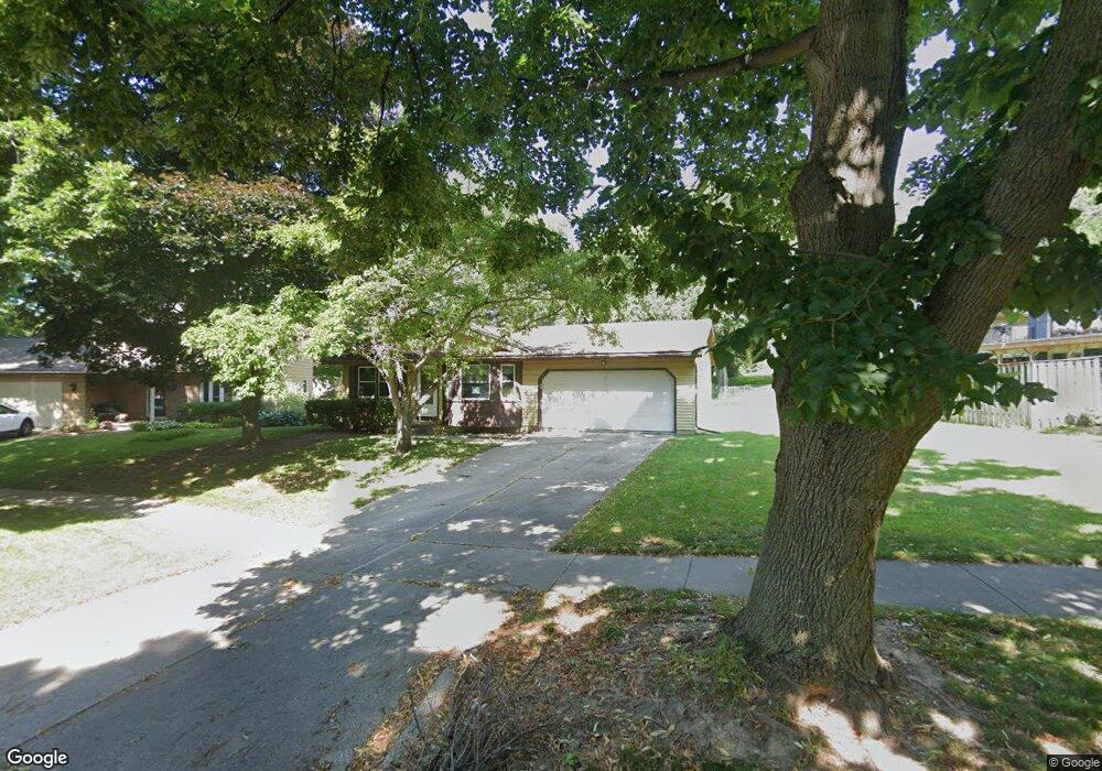
2010 Paso Roble Way Madison, WI 53716
East Buckeye NeighborhoodEstimated Value: $356,952 - $407,000
3
Beds
1
Bath
1,132
Sq Ft
$338/Sq Ft
Est. Value
About This Home
This home is located at 2010 Paso Roble Way, Madison, WI 53716 and is currently estimated at $382,988, approximately $338 per square foot. 2010 Paso Roble Way is a home located in Dane County with nearby schools including Sennett Middle School, La Follette High School, and Nuestro Mundo.
Ownership History
Date
Name
Owned For
Owner Type
Purchase Details
Closed on
Jun 29, 2005
Sold by
Kuyper Kenneth W and Kuyper Sharon J
Bought by
Kaspar Kurt Jay
Current Estimated Value
Home Financials for this Owner
Home Financials are based on the most recent Mortgage that was taken out on this home.
Original Mortgage
$129,900
Outstanding Balance
$68,683
Interest Rate
5.86%
Mortgage Type
New Conventional
Estimated Equity
$314,305
Create a Home Valuation Report for This Property
The Home Valuation Report is an in-depth analysis detailing your home's value as well as a comparison with similar homes in the area
Home Values in the Area
Average Home Value in this Area
Purchase History
| Date | Buyer | Sale Price | Title Company |
|---|---|---|---|
| Kaspar Kurt Jay | $184,900 | None Available |
Source: Public Records
Mortgage History
| Date | Status | Borrower | Loan Amount |
|---|---|---|---|
| Open | Kaspar Kurt Jay | $129,900 |
Source: Public Records
Tax History Compared to Growth
Tax History
| Year | Tax Paid | Tax Assessment Tax Assessment Total Assessment is a certain percentage of the fair market value that is determined by local assessors to be the total taxable value of land and additions on the property. | Land | Improvement |
|---|---|---|---|---|
| 2024 | $11,623 | $348,200 | $86,200 | $262,000 |
| 2023 | $5,833 | $337,700 | $83,600 | $254,100 |
| 2021 | $5,071 | $250,200 | $64,200 | $186,000 |
| 2020 | $4,875 | $225,400 | $57,800 | $167,600 |
| 2019 | $4,721 | $218,800 | $56,100 | $162,700 |
| 2018 | $4,173 | $197,100 | $56,100 | $141,000 |
| 2017 | $4,248 | $191,400 | $51,000 | $140,400 |
| 2016 | $4,140 | $182,300 | $48,600 | $133,700 |
| 2015 | $3,998 | $168,500 | $48,600 | $119,900 |
| 2014 | $3,873 | $168,500 | $48,600 | $119,900 |
| 2013 | $4,081 | $168,500 | $48,600 | $119,900 |
Source: Public Records
Map
Nearby Homes
- 35 Pelican Cir
- 1910 Vondron Rd
- 5625 Irongate Dr
- 1621 Droster Rd
- 1617 National Ave
- 1609 Ellen Ave
- 5726 Bellows Cir
- 1509 Ellen Ave
- 15 Eastridge Ct
- 1510 Ellen Ave
- 1634 Kings Mill Way Unit 308
- 10 Kings Mill Cir Unit 112
- 1625 Kings Mill Way Unit 311
- 1629 Kings Mill Way Unit 312
- 1629 Kings Mill Way Unit 209
- 1907-1909 Dondee Rd
- 1618 Angel Crest Way
- 1214 Bay Ridge Rd
- 1409 Lynchburg Trail
- 6147 Dell Dr Unit 1
- 2014 Paso Roble Way
- 1946 La Sierra Way
- 1942 La Sierra Way
- 37 La Crescenta Cir
- 41 La Crescenta Cir
- 1938 La Sierra Way
- 2018 Paso Roble Way
- 2009 Paso Roble Way
- 33 La Crescenta Cir
- 2005 Paso Roble Way
- 2013 Paso Roble Way
- 42 La Crescenta Cir
- 1945 La Sierra Way
- 2017 Paso Roble Way
- 2001 Paso Roble Way
- 1934 La Sierra Way
- 9 Aaron Ct
- 29 La Crescenta Cir
- 1937 La Sierra Way
- 1945 Paso Roble Way