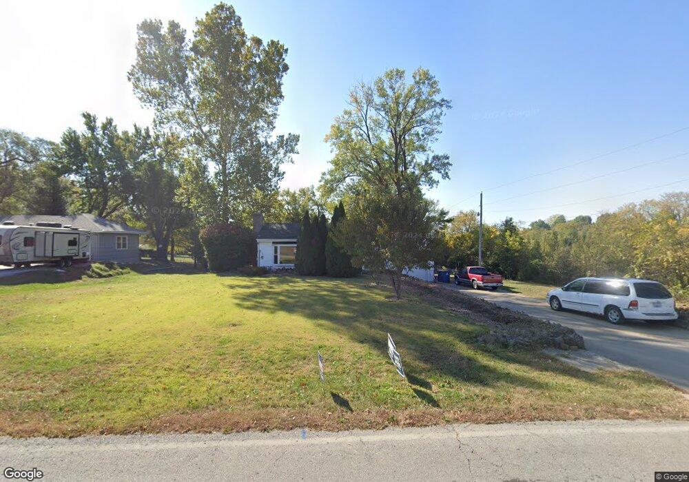
2011 Kings Hwy Liberty, MO 64068
Estimated Value: $291,000 - $374,000
3
Beds
2
Baths
1,708
Sq Ft
$192/Sq Ft
Est. Value
About This Home
This home is located at 2011 Kings Hwy, Liberty, MO 64068 and is currently estimated at $328,504, approximately $192 per square foot. 2011 Kings Hwy is a home located in Clay County with nearby schools including Alexander Doniphan Elementary School, Discovery Middle School, and Liberty High School.
Ownership History
Date
Name
Owned For
Owner Type
Purchase Details
Closed on
May 2, 2003
Sold by
Carpenter George E and Carpenter Garnet O
Bought by
Coday Dennis J and Piewklieng Jaratsri
Current Estimated Value
Home Financials for this Owner
Home Financials are based on the most recent Mortgage that was taken out on this home.
Original Mortgage
$92,800
Outstanding Balance
$40,362
Interest Rate
5.8%
Mortgage Type
Purchase Money Mortgage
Estimated Equity
$288,142
Create a Home Valuation Report for This Property
The Home Valuation Report is an in-depth analysis detailing your home's value as well as a comparison with similar homes in the area
Home Values in the Area
Average Home Value in this Area
Purchase History
| Date | Buyer | Sale Price | Title Company |
|---|---|---|---|
| Coday Dennis J | -- | Thomson Title Corporation |
Source: Public Records
Mortgage History
| Date | Status | Borrower | Loan Amount |
|---|---|---|---|
| Open | Coday Dennis J | $92,800 | |
| Closed | Coday Dennis J | $17,400 |
Source: Public Records
Tax History Compared to Growth
Tax History
| Year | Tax Paid | Tax Assessment Tax Assessment Total Assessment is a certain percentage of the fair market value that is determined by local assessors to be the total taxable value of land and additions on the property. | Land | Improvement |
|---|---|---|---|---|
| 2025 | $3,018 | $43,610 | -- | -- |
| 2024 | $3,018 | $39,240 | -- | -- |
| 2023 | $3,069 | $39,240 | $0 | $0 |
| 2022 | $2,709 | $34,200 | $0 | $0 |
| 2021 | $2,688 | $34,200 | $4,256 | $29,944 |
| 2020 | $2,576 | $30,780 | $4,256 | $26,524 |
| 2019 | $2,576 | $30,780 | $4,256 | $26,524 |
| 2018 | $2,494 | $29,260 | $0 | $0 |
| 2017 | $2,351 | $29,260 | $4,260 | $25,000 |
| 2016 | $2,351 | $27,840 | $4,260 | $23,580 |
| 2015 | $2,351 | $27,840 | $4,260 | $23,580 |
| 2014 | $2,280 | $26,790 | $4,260 | $22,530 |
Source: Public Records
Map
Nearby Homes
- 253 S Stewart Rd
- 716 Bristol Ct
- 415 Monterey Ave
- 862 Amesbury Ave
- 918 Amesbury Ave
- 420 Belmont St
- 509 Belmont St
- 1124 Amesbury Ave
- 7908 N Ditzler Ave
- 9102 NE 79th Terrace
- 9005 NE 80th St
- 1323 Amesbury Ave
- 1218 Canterbury Ln
- 8826 NE 80th Terrace
- 1209 Liberty Drive Terrace
- 8804 NE 81st Terrace
- 1507 Amesbury Ave
- 1331 Park Ln
- 8137 N Farley Ave
- 1317 Park Ln
- 2005 Kings Hwy
- 2001 Kings Hwy
- 734 Kings Hwy
- 705 Kings Hwy
- 816 Kings Hwy
- 717 Kings Hwy
- 811 Kings Hwy
- 815 Kings Hwy
- 833 Kings Hwy
- 1987 Kings Hwy
- 1969 Kings Hwy
- 1955 Kings Hwy
- 1970 Kings Hwy
- 209 Wilshire Blvd
- 211 Wilshire Blvd
- 1960 Kings Hwy
- 704 Riverwood Dr
- 213 Wilshire Blvd
- 712 Riverwood Dr
- 716 Riverwood Dr