20135 Millwood Rd Easton, KS 66020
Estimated Value: $495,257 - $609,000
2
Beds
2
Baths
1,392
Sq Ft
$389/Sq Ft
Est. Value
About This Home
This home is located at 20135 Millwood Rd, Easton, KS 66020 and is currently estimated at $541,419, approximately $388 per square foot. 20135 Millwood Rd is a home located in Leavenworth County with nearby schools including Pleasant Ridge Elementary School, Pleasant Ridge Middle School, and Pleasant Ridge High School.
Ownership History
Date
Name
Owned For
Owner Type
Purchase Details
Closed on
Nov 1, 2002
Bought by
Plesa Eddie J and Ocean Renee
Current Estimated Value
Home Financials for this Owner
Home Financials are based on the most recent Mortgage that was taken out on this home.
Original Mortgage
$133,459
Outstanding Balance
$56,352
Interest Rate
6.13%
Mortgage Type
New Conventional
Estimated Equity
$485,067
Create a Home Valuation Report for This Property
The Home Valuation Report is an in-depth analysis detailing your home's value as well as a comparison with similar homes in the area
Home Values in the Area
Average Home Value in this Area
Purchase History
| Date | Buyer | Sale Price | Title Company |
|---|---|---|---|
| Plesa Eddie J | $242,500 | -- |
Source: Public Records
Mortgage History
| Date | Status | Borrower | Loan Amount |
|---|---|---|---|
| Open | Plesa Eddie J | $133,459 |
Source: Public Records
Tax History Compared to Growth
Tax History
| Year | Tax Paid | Tax Assessment Tax Assessment Total Assessment is a certain percentage of the fair market value that is determined by local assessors to be the total taxable value of land and additions on the property. | Land | Improvement |
|---|---|---|---|---|
| 2025 | $3,671 | $38,071 | $6,346 | $31,725 |
| 2024 | $3,580 | $36,766 | $4,968 | $31,798 |
| 2023 | $3,580 | $35,780 | $4,926 | $30,854 |
| 2022 | $3,087 | $30,794 | $4,839 | $25,955 |
| 2021 | $2,858 | $27,723 | $4,746 | $22,977 |
| 2020 | $2,727 | $26,341 | $4,680 | $21,661 |
| 2019 | $2,806 | $27,024 | $4,186 | $22,838 |
| 2018 | $2,521 | $24,355 | $3,955 | $20,400 |
| 2017 | $2,361 | $22,744 | $3,925 | $18,819 |
| 2016 | $2,263 | $21,785 | $4,359 | $17,426 |
| 2015 | $2,211 | $21,159 | $3,479 | $17,680 |
| 2014 | -- | $20,702 | $3,428 | $17,274 |
Source: Public Records
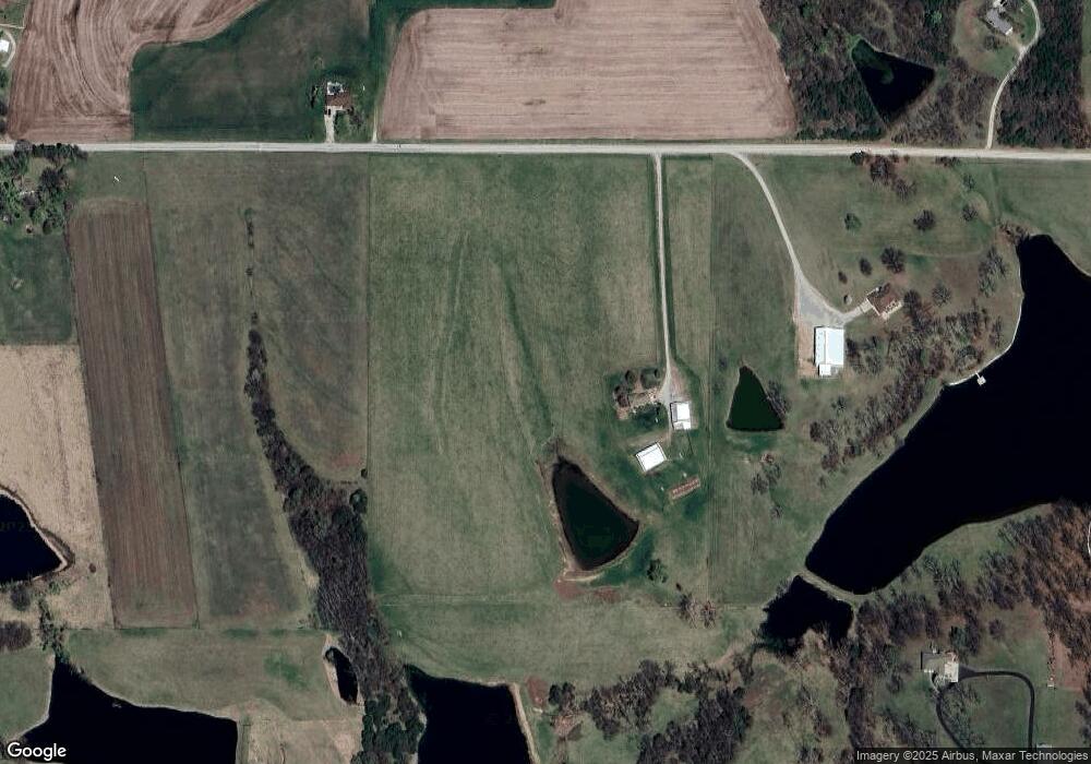
Map
Nearby Homes
- 20513 Lowemont Rd
- 34903 195th St
- 32378 215 St
- 0 195th St
- 000000 195th St
- 33931 167th St
- 16321 Hildebrandt Rd
- 16425 Fort Riley Rd
- 17051 Mount Olivet Rd
- 30810 235th St
- Lot 5 195th St
- Lot 4 195th St
- 30680 243rd St
- Tbd 231st St
- 503 Limit St
- 1964 Eisenhower Rd
- TBD 231st St
- 1927 Pottawatomie St
- 1844 Ottawa St
- 1919 Seneca St
- 20051 Millwood Rd
- 20322 Millwood Rd
- 20036 Millwood Rd
- 19950 Millwood Rd
- 33358 Santa fe Trail
- 33367 199th St
- 00000 199th St
- 00000 199th St
- 20455 Millwood Rd
- 33311 199th St
- 19660 Millwood Rd
- 20520 Lowemont Rd
- 33558 Lowemont Rd
- 33420 199th St
- 33218 Santa fe Trail
- 33342 199th St
- 33294 199th St
- 33251 199th St
- 20456 Millwood Rd
- 33150 Santa Fe Trail N A