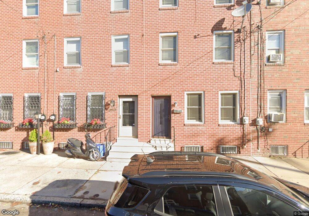
2015 Ellsworth St Philadelphia, PA 19146
Point Breeze NeighborhoodEstimated Value: $287,000 - $490,000
3
Beds
1
Bath
1,872
Sq Ft
$210/Sq Ft
Est. Value
About This Home
This home is located at 2015 Ellsworth St, Philadelphia, PA 19146 and is currently estimated at $393,185, approximately $210 per square foot. 2015 Ellsworth St is a home located in Philadelphia County with nearby schools including Edwin M. Stanton School, South Philadelphia High School, and Crooked Places Made Straight Christian Academy.
Ownership History
Date
Name
Owned For
Owner Type
Purchase Details
Closed on
May 20, 2005
Sold by
Baylor James
Bought by
Baylor James and Baylor Fannie
Current Estimated Value
Home Financials for this Owner
Home Financials are based on the most recent Mortgage that was taken out on this home.
Original Mortgage
$30,000
Interest Rate
6.05%
Mortgage Type
New Conventional
Create a Home Valuation Report for This Property
The Home Valuation Report is an in-depth analysis detailing your home's value as well as a comparison with similar homes in the area
Home Values in the Area
Average Home Value in this Area
Purchase History
| Date | Buyer | Sale Price | Title Company |
|---|---|---|---|
| Baylor James | -- | -- |
Source: Public Records
Mortgage History
| Date | Status | Borrower | Loan Amount |
|---|---|---|---|
| Closed | Baylor James | $30,000 |
Source: Public Records
Tax History Compared to Growth
Tax History
| Year | Tax Paid | Tax Assessment Tax Assessment Total Assessment is a certain percentage of the fair market value that is determined by local assessors to be the total taxable value of land and additions on the property. | Land | Improvement |
|---|---|---|---|---|
| 2025 | $3,201 | $228,700 | $45,700 | $183,000 |
| 2024 | $3,201 | $228,700 | $45,700 | $183,000 |
| 2023 | $3,201 | $228,700 | $45,740 | $182,960 |
| 2022 | $2,571 | $183,700 | $45,740 | $137,960 |
| 2021 | $3,201 | $0 | $0 | $0 |
| 2020 | $3,201 | $0 | $0 | $0 |
| 2019 | $2,811 | $0 | $0 | $0 |
| 2018 | $1,576 | $0 | $0 | $0 |
| 2017 | $1,996 | $0 | $0 | $0 |
| 2016 | $1,576 | $0 | $0 | $0 |
| 2015 | $1,195 | $0 | $0 | $0 |
| 2014 | -- | $119,200 | $15,297 | $103,903 |
| 2012 | -- | $10,240 | $2,048 | $8,192 |
Source: Public Records
Map
Nearby Homes
- 2025 Ellsworth St
- 2026 Ellsworth St
- 2050 Ellsworth St
- 2002 Annin St Unit 2
- 1123 S 20th St
- 1121 S 20th St
- 2707 11 Federal St
- 2303-2305 Federal St
- 2019 Manton St
- 1938 Federal St
- 2016 Manton St
- 2034 Manton St
- 2040 Manton St
- 2137 Federal St
- 1226 S 21st St
- 1904 Federal St
- 2008 Latona St
- 1919 Latona St
- 1929 Kimball St
- 1024 S 19th St Unit B
- 2013 Ellsworth St
- 2017 Ellsworth St
- 2019 Ellsworth St
- 2011 Ellsworth St
- 2021 Ellsworth St Unit 23
- 2005 Ellsworth St
- 2027 Ellsworth St
- 2022 Ellsworth St
- 2024 Ellsworth St
- 2016 Ellsworth St
- 2026 Ellsworth St Unit ID1049475P
- 2020 Ellsworth St
- 2029 Ellsworth St
- 2047 Annin St
- 2014 Ellsworth St
- 2028 Ellsworth St
- 2031 Ellsworth St
- 2010 Ellsworth St
- 2012 Ellsworth St
- 2030 Ellsworth St