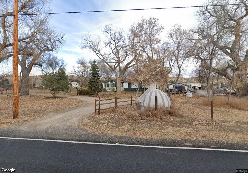
2016 Glade Rd Loveland, CO 80538
Estimated Value: $612,000 - $809,075
4
Beds
3
Baths
4,005
Sq Ft
$185/Sq Ft
Est. Value
About This Home
This home is located at 2016 Glade Rd, Loveland, CO 80538 and is currently estimated at $740,269, approximately $184 per square foot. 2016 Glade Rd is a home located in Larimer County with nearby schools including Big Thompson Elementary School, Walt Clark Middle School, and Thompson Valley High School.
Ownership History
Date
Name
Owned For
Owner Type
Purchase Details
Closed on
Jun 26, 2003
Sold by
Snyder Patrick A and Snyder Beth A
Bought by
Webber Jerry Lynn and Webber Diane L
Current Estimated Value
Home Financials for this Owner
Home Financials are based on the most recent Mortgage that was taken out on this home.
Original Mortgage
$300,603
Outstanding Balance
$127,512
Interest Rate
5.23%
Mortgage Type
Purchase Money Mortgage
Estimated Equity
$612,757
Purchase Details
Closed on
Aug 1, 1994
Sold by
Andersen Steve Lynn
Bought by
Snyder Beth A
Create a Home Valuation Report for This Property
The Home Valuation Report is an in-depth analysis detailing your home's value as well as a comparison with similar homes in the area
Home Values in the Area
Average Home Value in this Area
Purchase History
| Date | Buyer | Sale Price | Title Company |
|---|---|---|---|
| Webber Jerry Lynn | $309,900 | Chicago Title Co | |
| Snyder Beth A | $71,800 | -- |
Source: Public Records
Mortgage History
| Date | Status | Borrower | Loan Amount |
|---|---|---|---|
| Open | Webber Jerry Lynn | $300,603 |
Source: Public Records
Tax History Compared to Growth
Tax History
| Year | Tax Paid | Tax Assessment Tax Assessment Total Assessment is a certain percentage of the fair market value that is determined by local assessors to be the total taxable value of land and additions on the property. | Land | Improvement |
|---|---|---|---|---|
| 2025 | $2,728 | $43,885 | $3,350 | $40,535 |
| 2024 | $2,633 | $43,885 | $3,350 | $40,535 |
| 2022 | $1,923 | $31,345 | $3,475 | $27,870 |
| 2021 | $1,974 | $32,247 | $3,575 | $28,672 |
| 2020 | $2,394 | $37,588 | $3,575 | $34,013 |
| 2019 | $2,018 | $33,248 | $3,575 | $29,673 |
| 2018 | $1,784 | $29,095 | $3,600 | $25,495 |
| 2017 | $1,535 | $29,095 | $3,600 | $25,495 |
| 2016 | $2,206 | $30,415 | $3,980 | $26,435 |
| 2015 | $2,187 | $30,420 | $3,980 | $26,440 |
| 2014 | $1,258 | $16,920 | $3,980 | $12,940 |
Source: Public Records
Map
Nearby Homes
- 1703 N County Road 23h
- 5417 W US Highway 34
- 5925 Sacajawea Way
- 7467 W Us Highway 34
- 712 Colt Dr
- 3064 Wildes Rd
- 3604 Glade Rd
- 512 Mustang Dr
- 7831 W Us Highway 34
- 240 Garnet Valley Ct
- 5272 Fox Hollow Ct
- 684 Deer Meadow Dr
- 629 Deer Meadow Dr
- 5137 Stoneridge Dr
- 5072 Saint Andrews Dr
- 404 Black Elk Ct
- 1220 Rossum Dr
- 270 N Cove Dr
- 1701 Firerock Ct
- 7864 Heart J Trail
- 6251 Cdebaca Ct
- 2024 Glade Rd
- 6239 W Us Highway 34
- 2113 Glade Rd
- 6250 Cdebaca Ct
- 6117 W Us Highway 34
- 2206 Glade Rd
- 6208 Buckhorn Dr
- 6200 Buckhorn Dr
- 6300 Buckhorn Dr
- 6112 Buckhorn Dr
- 6105 W Us Highway 34
- 2125 Glade Rd
- 6108 Buckhorn Dr
- 6308 Buckhorn Dr
- 2208 Glade Rd
- 6160 Cdebaca Ct
- 6124 W Us Highway 34
- 2201 Glade Rd
- 0 Buckhorn Unit RECIR991404