20161 Harvest Dr Lakeville, MN 55044
Estimated Value: $612,000 - $697,000
5
Beds
5
Baths
2,496
Sq Ft
$263/Sq Ft
Est. Value
About This Home
This home is located at 20161 Harvest Dr, Lakeville, MN 55044 and is currently estimated at $656,234, approximately $262 per square foot. 20161 Harvest Dr is a home with nearby schools including Lake Marion Elementary School, Kenwood Trail Middle School, and Lakeville North High School.
Ownership History
Date
Name
Owned For
Owner Type
Purchase Details
Closed on
Nov 21, 2019
Sold by
Brandl Anderson Homes Inc
Bought by
Miller Michael L and Miller Ellen Larayne
Current Estimated Value
Home Financials for this Owner
Home Financials are based on the most recent Mortgage that was taken out on this home.
Original Mortgage
$484,350
Outstanding Balance
$426,948
Interest Rate
3.7%
Mortgage Type
VA
Estimated Equity
$229,286
Purchase Details
Closed on
Nov 7, 2018
Sold by
Berres Realty Dev Co Llc
Bought by
Brandi Anderson Homes Inc
Create a Home Valuation Report for This Property
The Home Valuation Report is an in-depth analysis detailing your home's value as well as a comparison with similar homes in the area
Home Values in the Area
Average Home Value in this Area
Purchase History
| Date | Buyer | Sale Price | Title Company |
|---|---|---|---|
| Miller Michael L | $490,773 | Land Title Inc | |
| Brandi Anderson Homes Inc | $223,800 | Land Title |
Source: Public Records
Mortgage History
| Date | Status | Borrower | Loan Amount |
|---|---|---|---|
| Open | Miller Michael L | $484,350 |
Source: Public Records
Tax History Compared to Growth
Tax History
| Year | Tax Paid | Tax Assessment Tax Assessment Total Assessment is a certain percentage of the fair market value that is determined by local assessors to be the total taxable value of land and additions on the property. | Land | Improvement |
|---|---|---|---|---|
| 2024 | $3,172 | $599,900 | $147,700 | $452,200 |
| 2023 | $3,172 | $590,700 | $142,900 | $447,800 |
| 2022 | $2,084 | $567,000 | $142,500 | $424,500 |
| 2021 | $1,702 | $476,900 | $123,900 | $353,000 |
| 2020 | $473 | $439,400 | $118,000 | $321,400 |
| 2019 | $473 | $101,100 | $101,100 | $0 |
| 2018 | $40 | $96,200 | $96,200 | $0 |
| 2017 | -- | $8,000 | $8,000 | $0 |
Source: Public Records
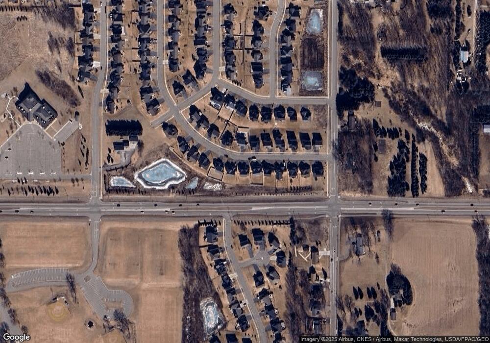
Map
Nearby Homes
- 19969 Harrisburg Way
- 8266 200th St W
- 19922 Harrisburg Way
- The Leo Plan at Reserve at Cedar Creek - The Landmark Collection
- The Stonebrook Plan at Reserve at Cedar Creek - The Landmark Collection
- 19949 Henley Ln
- 19962 Hexham Way
- 19789 Henley Ln
- 20104 Globe Dr
- 20098 Globe Dr
- 19803 Henning Ave
- 20110 Globe Dr
- 20064 Glenbrook Path
- 20187 Gothic Dr
- 20508 Hartford Way
- 20105 Glenbrook Path
- 19799 Henning Ave
- 19966 Hiawatha Ct
- Willow II Plan at Cedar Creek
- Magnolia Plan at Cedar Creek
- 20157 Harvest Dr
- 20165 Harvest Dr
- 20153 Harvest Dr
- 20169 Harvest Dr
- 20160 Harvest Dr
- 20156 Harvest Dr
- 20173 Harvest Dr
- 20152 Harvest Dr
- 20164 Harvest Dr
- 20149 Harvest Dr
- 20168 Harvest Dr
- 20148 Harvest Dr
- 20177 Harvest Dr
- 20145 Harvest Dr
- 8052 201st St W
- 8066 201st St W
- 20172 Harvest Dr
- 8080 201st St W
- 20271 Hampton Cir
- 24511 Harvest Dr