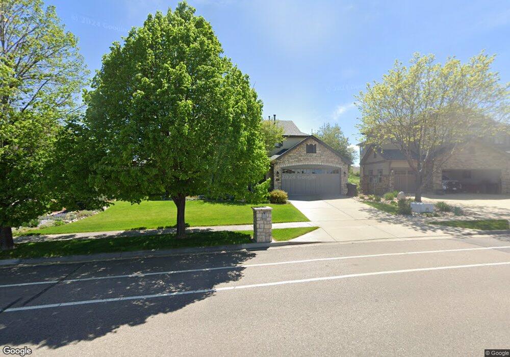
2017 Sundance Dr Longmont, CO 80504
East Side NeighborhoodEstimated Value: $1,065,579 - $1,225,000
4
Beds
4
Baths
3,583
Sq Ft
$323/Sq Ft
Est. Value
About This Home
This home is located at 2017 Sundance Dr, Longmont, CO 80504 and is currently estimated at $1,157,645, approximately $323 per square foot. 2017 Sundance Dr is a home located in Boulder County with nearby schools including Fall River Elementary School, Trail Ridge Middle School, and Skyline High School.
Ownership History
Date
Name
Owned For
Owner Type
Purchase Details
Closed on
Dec 19, 2003
Sold by
Greybridge Home Company Llc
Bought by
Peairs Scott G and Peairs Paula C
Current Estimated Value
Home Financials for this Owner
Home Financials are based on the most recent Mortgage that was taken out on this home.
Original Mortgage
$500,000
Outstanding Balance
$198,874
Interest Rate
3.87%
Mortgage Type
Purchase Money Mortgage
Estimated Equity
$958,771
Create a Home Valuation Report for This Property
The Home Valuation Report is an in-depth analysis detailing your home's value as well as a comparison with similar homes in the area
Home Values in the Area
Average Home Value in this Area
Purchase History
| Date | Buyer | Sale Price | Title Company |
|---|---|---|---|
| Peairs Scott G | $661,289 | -- |
Source: Public Records
Mortgage History
| Date | Status | Borrower | Loan Amount |
|---|---|---|---|
| Open | Peairs Scott G | $500,000 | |
| Closed | Peairs Scott G | $50,000 |
Source: Public Records
Tax History Compared to Growth
Tax History
| Year | Tax Paid | Tax Assessment Tax Assessment Total Assessment is a certain percentage of the fair market value that is determined by local assessors to be the total taxable value of land and additions on the property. | Land | Improvement |
|---|---|---|---|---|
| 2025 | $7,273 | $73,207 | $10,744 | $62,463 |
| 2024 | $7,273 | $73,207 | $10,744 | $62,463 |
| 2023 | $7,174 | $76,038 | $11,759 | $67,965 |
| 2022 | $5,880 | $59,423 | $8,966 | $50,457 |
| 2021 | $5,956 | $61,133 | $9,224 | $51,909 |
| 2020 | $5,219 | $53,725 | $8,151 | $45,574 |
| 2019 | $5,137 | $53,725 | $8,151 | $45,574 |
| 2018 | $5,287 | $55,663 | $8,424 | $47,239 |
| 2017 | $5,215 | $61,539 | $9,313 | $52,226 |
| 2016 | $5,136 | $53,730 | $11,303 | $42,427 |
| 2015 | $4,894 | $49,750 | $12,816 | $36,934 |
| 2014 | $4,647 | $49,750 | $12,816 | $36,934 |
Source: Public Records
Map
Nearby Homes
- 1951 Sundance Dr
- 1939 Sundance Dr
- 1766 Montgomery Cir
- 1720 Twilight Ct
- 1914 Rannoch Dr
- 1931 Rannoch Dr
- 1927 Rannoch Dr
- 1824 Ute Creek Dr
- 1426 Galilee Ln
- 2426 Spotswood St
- 1711 Wildlife Place
- 2432 Tyrrhenian Dr
- 1618 Otis Dr
- Congaree Plan at Spring Valley
- Biscayne Plan at Spring Valley
- Denali Plan at Spring Valley
- Acadia Plan at Spring Valley
- 1446 Coral Place
- 1404 Whitehall Dr Unit C
- 2474 Ravenswood Ct
- 2011 Sundance Dr
- 2023 Sundance Dr
- 2029 Sundance Dr
- 2005 Sundance Dr
- 1616 Twilight Dr
- 2035 Sundance Dr
- 2239 Provenance Ct
- 2010 Sundance Dr
- 2245 Provenance Ct
- 1943 Wasach Dr
- 2251 Provenance Ct
- 1948 Wasach Dr
- 2242 Provenance Ct
- 2246 Provenance Ct
- 1946 Lochmore Dr
- 1701 Twilight Ct
- 1937 Wasach Dr
- 1952 Lochmore Dr
- 1940 Lochmore Dr
- 1958 Lochmore Dr