202 Ginnie Ln La Follette, TN 37766
Estimated Value: $156,000 - $277,000
--
Bed
2
Baths
1,410
Sq Ft
$163/Sq Ft
Est. Value
About This Home
This home is located at 202 Ginnie Ln, La Follette, TN 37766 and is currently estimated at $230,083, approximately $163 per square foot. 202 Ginnie Ln is a home located in Campbell County.
Ownership History
Date
Name
Owned For
Owner Type
Purchase Details
Closed on
Jan 5, 2021
Sold by
Zapien Efrain P
Bought by
Zapien Efrain P and Rodriguez Magdalcna H
Current Estimated Value
Home Financials for this Owner
Home Financials are based on the most recent Mortgage that was taken out on this home.
Original Mortgage
$66,801
Outstanding Balance
$59,483
Interest Rate
2.71%
Mortgage Type
Construction
Estimated Equity
$170,600
Purchase Details
Closed on
Aug 10, 1990
Bought by
Davis John D and Davis Nancy
Create a Home Valuation Report for This Property
The Home Valuation Report is an in-depth analysis detailing your home's value as well as a comparison with similar homes in the area
Home Values in the Area
Average Home Value in this Area
Purchase History
| Date | Buyer | Sale Price | Title Company |
|---|---|---|---|
| Zapien Efrain P | -- | None Available | |
| Zapien Efrain P | $83,501 | None Available | |
| Zapien Efrain P | $83,501 | None Listed On Document | |
| Davis John D | $55,000 | -- |
Source: Public Records
Mortgage History
| Date | Status | Borrower | Loan Amount |
|---|---|---|---|
| Open | Zapien Efrain P | $66,801 | |
| Closed | Zapien Efrain P | $66,801 |
Source: Public Records
Tax History Compared to Growth
Tax History
| Year | Tax Paid | Tax Assessment Tax Assessment Total Assessment is a certain percentage of the fair market value that is determined by local assessors to be the total taxable value of land and additions on the property. | Land | Improvement |
|---|---|---|---|---|
| 2025 | $583 | $47,975 | $0 | $0 |
| 2024 | $583 | $47,975 | $5,500 | $42,475 |
| 2023 | $511 | $24,725 | $3,225 | $21,500 |
| 2022 | $511 | $24,725 | $3,225 | $21,500 |
| 2021 | $511 | $24,725 | $3,225 | $21,500 |
| 2020 | $501 | $24,725 | $3,225 | $21,500 |
| 2019 | $511 | $24,725 | $3,225 | $21,500 |
| 2018 | $568 | $25,250 | $2,375 | $22,875 |
| 2017 | $568 | $25,250 | $2,375 | $22,875 |
| 2016 | $568 | $25,250 | $2,375 | $22,875 |
| 2015 | $502 | $25,250 | $2,375 | $22,875 |
| 2014 | $502 | $25,250 | $2,375 | $22,875 |
| 2013 | -- | $25,250 | $2,375 | $22,875 |
Source: Public Records
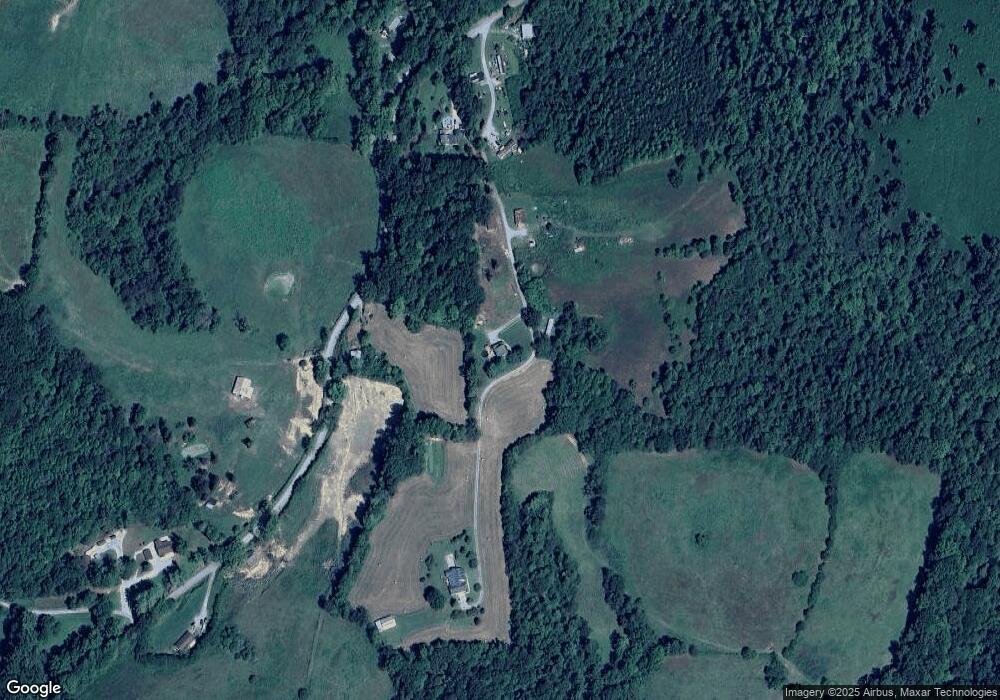
Map
Nearby Homes
- 519 Whitman Hollow Rd
- 1971 Demory Rd
- 0 Low Gap Rd Unit 18767562
- 0 Low Gap Rd Unit 11277254
- 0 Whitman Hollow Rd Unit 1271817
- 0 W High Knob Rd
- 00 Chestnut Stump Rd
- 268 Cross View Ln
- 0 Cross View Ln Unit 1312951
- 2473 Long Hollow Rd
- Lot 13 Demory Rd
- Lot 14 Demory Rd
- Lot 16 Demory Rd
- Lot 15 Demory Rd
- 960 Indian River Boat Dock Rd
- 0 Grantsboro Rd
- 0 Dr
- 1123 Pleasant Ridge Rd
- 0 Clearwater View Ln Unit 1317048
- 0 Country Oaks Ln
- 453 Whitman Hollow Rd
- 453 Whitman Hollow Rd
- 222 Ginnie Ln
- 363 Whitman Hollow Rd
- 383 Whitman Hollow Rd
- 542 Whitman Hollow Rd
- 292 Whitman Hollow Rd
- 250 Low Gap Rd
- 280 Low Gap Rd
- 135 Whitman Hollow Rd
- 519 Low Gap Rd
- 261 Low Gap Rd
- 586 Low Gap Rd
- 2353 Demory Rd
- 221 Low Gap Rd
- 294 Housley Ln
- 743 Whitman Hollow Rd
- 152 Lois Ln
- 2423 Demory Rd
- 744 Whitman Hollow Rd