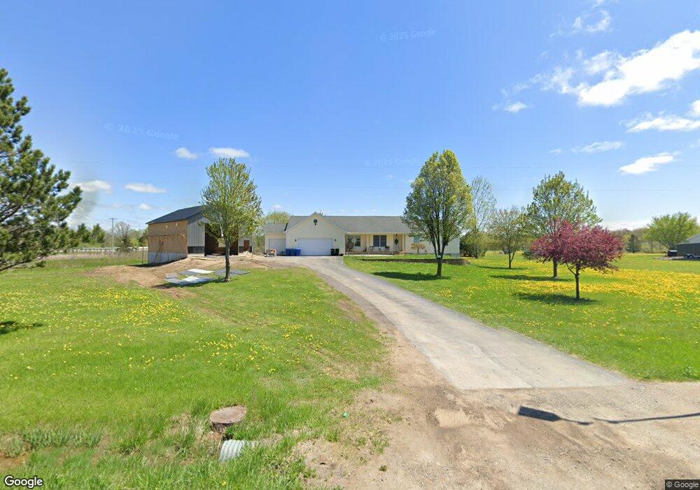
2029 Nichols Rd Lennon, MI 48449
Estimated Value: $360,000 - $398,935
3
Beds
4
Baths
1,902
Sq Ft
$199/Sq Ft
Est. Value
About This Home
This home is located at 2029 Nichols Rd, Lennon, MI 48449 and is currently estimated at $378,984, approximately $199 per square foot. 2029 Nichols Rd is a home located in Genesee County with nearby schools including Syring Elementary School, Elms Road Elementary School, and Dieck Elementary School.
Ownership History
Date
Name
Owned For
Owner Type
Purchase Details
Closed on
Nov 29, 2023
Sold by
Selley Matthew B and Selley Brooke N
Bought by
Selley Matthew B and Selley Matthew B
Current Estimated Value
Purchase Details
Closed on
Dec 23, 2020
Sold by
Smith Carol A
Bought by
Loewy Alex
Home Financials for this Owner
Home Financials are based on the most recent Mortgage that was taken out on this home.
Original Mortgage
$287,910
Interest Rate
2.7%
Mortgage Type
New Conventional
Create a Home Valuation Report for This Property
The Home Valuation Report is an in-depth analysis detailing your home's value as well as a comparison with similar homes in the area
Home Values in the Area
Average Home Value in this Area
Purchase History
| Date | Buyer | Sale Price | Title Company |
|---|---|---|---|
| Selley Matthew B | -- | None Listed On Document | |
| Selley Matthew B | $345,000 | Liberty Title | |
| Loewy Alex | $319,900 | Fatic |
Source: Public Records
Mortgage History
| Date | Status | Borrower | Loan Amount |
|---|---|---|---|
| Previous Owner | Loewy Alex | $287,910 |
Source: Public Records
Tax History Compared to Growth
Tax History
| Year | Tax Paid | Tax Assessment Tax Assessment Total Assessment is a certain percentage of the fair market value that is determined by local assessors to be the total taxable value of land and additions on the property. | Land | Improvement |
|---|---|---|---|---|
| 2025 | $6,788 | $181,400 | $0 | $0 |
| 2024 | $2,045 | $178,000 | $0 | $0 |
| 2023 | $1,585 | $158,700 | $0 | $0 |
| 2022 | $7,487 | $137,400 | $0 | $0 |
| 2021 | $7,165 | $127,000 | $0 | $0 |
| 2020 | $1,028 | $113,100 | $0 | $0 |
| 2019 | $1,012 | $105,200 | $0 | $0 |
| 2018 | $2,852 | $101,500 | $0 | $0 |
| 2017 | $2,719 | $101,500 | $0 | $0 |
| 2016 | $2,686 | $95,800 | $0 | $0 |
| 2015 | $2,504 | $91,600 | $0 | $0 |
| 2014 | $933 | $82,800 | $0 | $0 |
| 2012 | -- | $79,200 | $79,200 | $0 |
Source: Public Records
Map
Nearby Homes
- 1475 S Nichols Rd
- 11424 Corunna Rd
- 0 Corunna Rd Unit 20251051464
- 1309 Houston Dr
- 10141 McEnrue Rd
- 3086 Seymour Rd
- 12502 W Corunna Rd
- 2548 S Sheridan Rd
- V/L S Sheridan Rd
- 4014 S Duffield Rd
- 805 Oak St
- 1513 N Seymour Rd
- 3375 Seymour Rd
- 0 Corunna Rd Unit 20251034900
- 4101 S Sheridan Rd Unit 132
- 1366 S Morrish Rd
- 4076 S Morrish Rd
- 1936 Elmwood Dr
- TBD E Brooks Rd N of Us 69 W of M13
- 4101 lot 171 S Sheridan
- 2029 S Nichols Rd
- 2055 Nichols Rd
- 2075 Nichols Rd
- 1501 Nichols Rd
- 1501 Nichols Rd
- 10405 Corunna Rd
- 1475 Nichols Rd
- 2115 Nichols Rd
- 11020 W Corunna Rd
- 10379 Corunna Rd
- 2076 Nichols Rd
- 1461 Nichols Rd
- 10418 Corunna Rd
- 2096 Nichols Rd
- 2096 Nichols Rd
- 1447 Nichols Rd
- 10363 Corunna Rd
- 10363 Corunna Rd
- 11049 W Corunna Rd
- 2114 Nichols Rd