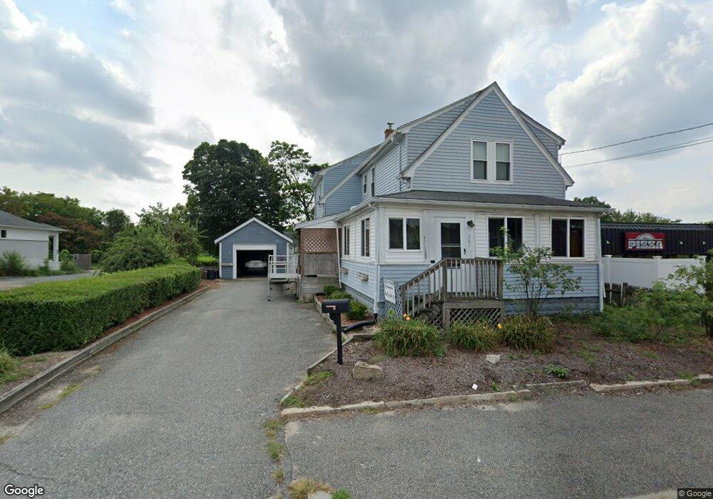
203 E Main St Milford, MA 01757
Estimated Value: $414,000 - $489,000
4
Beds
3
Baths
1,518
Sq Ft
$289/Sq Ft
Est. Value
About This Home
This home is located at 203 E Main St, Milford, MA 01757 and is currently estimated at $438,295, approximately $288 per square foot. 203 E Main St is a home located in Worcester County with nearby schools including Milford High School and Bethany Christian Academy.
Ownership History
Date
Name
Owned For
Owner Type
Purchase Details
Closed on
Jun 1, 1992
Sold by
Est Lena Mariotti
Bought by
Mariotti Jaymie M
Current Estimated Value
Home Financials for this Owner
Home Financials are based on the most recent Mortgage that was taken out on this home.
Original Mortgage
$62,000
Interest Rate
8.7%
Mortgage Type
Purchase Money Mortgage
Create a Home Valuation Report for This Property
The Home Valuation Report is an in-depth analysis detailing your home's value as well as a comparison with similar homes in the area
Home Values in the Area
Average Home Value in this Area
Purchase History
| Date | Buyer | Sale Price | Title Company |
|---|---|---|---|
| Mariotti Jaymie M | $60,000 | -- |
Source: Public Records
Mortgage History
| Date | Status | Borrower | Loan Amount |
|---|---|---|---|
| Open | Mariotti Jaymie M | $115,500 | |
| Closed | Mariotti Jaymie M | $17,000 | |
| Closed | Mariotti Jaymie M | $9,800 | |
| Closed | Mariotti Jaymie M | $62,000 |
Source: Public Records
Tax History Compared to Growth
Tax History
| Year | Tax Paid | Tax Assessment Tax Assessment Total Assessment is a certain percentage of the fair market value that is determined by local assessors to be the total taxable value of land and additions on the property. | Land | Improvement |
|---|---|---|---|---|
| 2025 | $4,367 | $341,200 | $151,100 | $190,100 |
| 2024 | $4,228 | $318,100 | $144,100 | $174,000 |
| 2023 | $4,115 | $284,800 | $121,300 | $163,500 |
| 2022 | $4,023 | $261,400 | $110,700 | $150,700 |
| 2021 | $7,002 | $236,900 | $110,700 | $126,200 |
| 2020 | $3,747 | $234,800 | $110,700 | $124,100 |
| 2019 | $3,583 | $208,300 | $110,700 | $97,600 |
| 2018 | $6,232 | $203,100 | $105,500 | $97,600 |
| 2017 | $3,168 | $188,700 | $105,500 | $83,200 |
| 2016 | $2,970 | $172,900 | $94,900 | $78,000 |
| 2015 | $2,973 | $169,400 | $91,400 | $78,000 |
Source: Public Records
Map
Nearby Homes
- 15 Free St
- 4 E Charles St
- Lot 1 Florence St
- 17 Middleton St
- 35 Woodland Ave Unit 35A
- 9 Hillside Ave
- 57 Beach St
- 3 S Central St
- 55 Jefferson St
- 27 Grant St
- 102-104 Central St
- 39 Emmons St
- 56 S Bow St
- 33 Brown Bear Ln Unit 33
- 97 E Street Extension
- 104 Purchase St
- 3 Shadowbrook Ln Unit 3
- 11 Black Bear Unit 11
- 10 Black Bear Unit 10
- 9 Black Bear Cir Unit 9
- 203 E Main St Unit 2
- 203 E Main St Unit 3
- 203 E Main St Unit 1C
- 203 E Main St Unit 1B
- 186 E Main St
- 40 Medway Rd
- 194 E Main St
- 209 E Main St
- 193 E Main St
- 190 E Main St
- 189 E Main St
- 219 E Main St Unit 100 B
- 219 E Main St Unit 102
- 219 E Main St
- 219 E Main St Unit 200 A & B
- 179 E Main St
- 221 E Main St Unit 203
- 221 E Main St Unit Suite 100
- 221 E Main St Unit 204/205
- 221 E Main St Unit 202