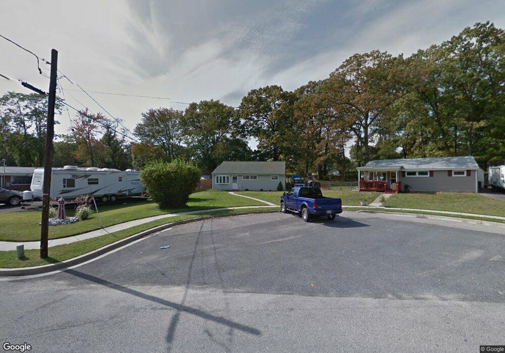
203 Saint James Dr Glen Burnie, MD 21061
Estimated Value: $321,000 - $378,000
--
Bed
1
Bath
1,672
Sq Ft
$209/Sq Ft
Est. Value
About This Home
This home is located at 203 Saint James Dr, Glen Burnie, MD 21061 and is currently estimated at $349,420, approximately $208 per square foot. 203 Saint James Dr is a home located in Anne Arundel County with nearby schools including Oakwood Elementary School, Corkran Middle School, and Glen Burnie High School.
Ownership History
Date
Name
Owned For
Owner Type
Purchase Details
Closed on
Feb 4, 2020
Sold by
Urban Space Developers Llc
Bought by
Cookus Ruth Mary and Cookus Albert Francis
Current Estimated Value
Home Financials for this Owner
Home Financials are based on the most recent Mortgage that was taken out on this home.
Original Mortgage
$181,649
Outstanding Balance
$160,530
Interest Rate
3.5%
Mortgage Type
FHA
Estimated Equity
$188,890
Purchase Details
Closed on
Sep 30, 2019
Sold by
Hall David A
Bought by
Urban Space Developers Llc
Purchase Details
Closed on
Oct 4, 1984
Bought by
Hall David A and Hall Denise L
Home Financials for this Owner
Home Financials are based on the most recent Mortgage that was taken out on this home.
Original Mortgage
$36,000
Interest Rate
14.26%
Create a Home Valuation Report for This Property
The Home Valuation Report is an in-depth analysis detailing your home's value as well as a comparison with similar homes in the area
Home Values in the Area
Average Home Value in this Area
Purchase History
| Date | Buyer | Sale Price | Title Company |
|---|---|---|---|
| Cookus Ruth Mary | $185,000 | Charter Title Llc | |
| Urban Space Developers Llc | $150,000 | Cotton Duck Title Company | |
| Hall David A | $45,000 | -- |
Source: Public Records
Mortgage History
| Date | Status | Borrower | Loan Amount |
|---|---|---|---|
| Open | Cookus Ruth Mary | $181,649 | |
| Previous Owner | Hall David A | $36,000 |
Source: Public Records
Tax History Compared to Growth
Tax History
| Year | Tax Paid | Tax Assessment Tax Assessment Total Assessment is a certain percentage of the fair market value that is determined by local assessors to be the total taxable value of land and additions on the property. | Land | Improvement |
|---|---|---|---|---|
| 2025 | $3,292 | $293,600 | $159,900 | $133,700 |
| 2024 | $3,292 | $276,567 | $0 | $0 |
| 2023 | $3,188 | $259,533 | $0 | $0 |
| 2022 | $2,964 | $242,500 | $144,900 | $97,600 |
| 2021 | $5,929 | $242,500 | $144,900 | $97,600 |
| 2020 | $2,924 | $242,500 | $144,900 | $97,600 |
| 2019 | $2,128 | $245,200 | $139,900 | $105,300 |
| 2018 | $2,356 | $232,333 | $0 | $0 |
| 2017 | $1,966 | $219,467 | $0 | $0 |
| 2016 | -- | $206,600 | $0 | $0 |
| 2015 | -- | $198,467 | $0 | $0 |
| 2014 | -- | $190,333 | $0 | $0 |
Source: Public Records
Map
Nearby Homes
- 203 Buckingham Dr
- 308 Aquahart Rd
- 1423 Braden Loop
- 409 Aquahart Rd
- 304 9th Ave SE
- 1324 Ray Ln
- 1475 Braden Loop
- 112 Kindred Way
- 267 Truck Farm Dr
- 118 Heather Stone Way Unit 80
- 227 Truck Farm Dr
- 4 Ridgely Rd
- 7685 Quarterfield Rd
- 19 Main Ave SW
- 615 Carolyn Rd
- 125 Range Rd
- 612 Carolyn Rd
- 306 Woodleaf Ct
- 7818 Oakwood Rd
- 0 Irene Dr
- 201 Saint James Dr
- 205 Saint James Dr
- 207 Saint James Dr
- 111 Saint James Dr
- 109 Saint James Dr
- 1111 Nottingham Dr
- 1107 Nottingham Dr
- 1109 Nottingham Dr
- 1015 Londonderry Dr
- 209 Saint James Dr
- 200 Saint James Place
- 1113 Nottingham Dr
- 1105 Nottingham Dr
- 202 Saint James Dr
- 107 Saint James Dr
- 211 Saint James Dr
- 1115 Nottingham Dr
- 110 Saint James Dr
- 1013 Londonderry Dr
- 202 Saint James Place