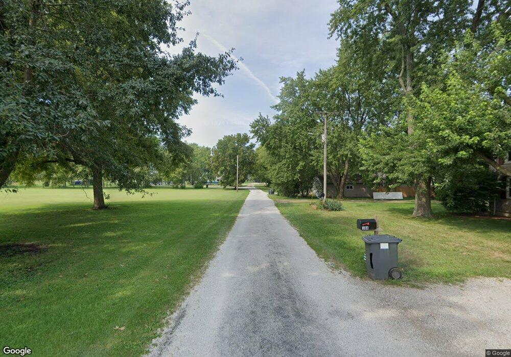
203 W South St Sadorus, IL 61872
Estimated Value: $164,000 - $222,070
--
Bed
--
Bath
1,648
Sq Ft
$119/Sq Ft
Est. Value
About This Home
This home is located at 203 W South St, Sadorus, IL 61872 and is currently estimated at $195,768, approximately $118 per square foot. 203 W South St is a home with nearby schools including Unity High School.
Ownership History
Date
Name
Owned For
Owner Type
Purchase Details
Closed on
Dec 18, 2024
Sold by
Henson Trent L and Henson Emily A
Bought by
Emily A Henson Declaration Of Trust and Trent L Henson Declaration Of Trent
Current Estimated Value
Purchase Details
Closed on
Apr 24, 2012
Sold by
Dubson Roger W and Dubson Catherine M
Bought by
Henson Trent L
Home Financials for this Owner
Home Financials are based on the most recent Mortgage that was taken out on this home.
Original Mortgage
$87,070
Interest Rate
1%
Mortgage Type
New Conventional
Create a Home Valuation Report for This Property
The Home Valuation Report is an in-depth analysis detailing your home's value as well as a comparison with similar homes in the area
Home Values in the Area
Average Home Value in this Area
Purchase History
| Date | Buyer | Sale Price | Title Company |
|---|---|---|---|
| Emily A Henson Declaration Of Trust | -- | None Listed On Document | |
| Emily A Henson Declaration Of Trust | -- | None Listed On Document | |
| Henson Trent L | $90,000 | None Available | |
| Henson Trent L | -- | None Available |
Source: Public Records
Mortgage History
| Date | Status | Borrower | Loan Amount |
|---|---|---|---|
| Previous Owner | Henson Trent L | $87,070 |
Source: Public Records
Tax History Compared to Growth
Tax History
| Year | Tax Paid | Tax Assessment Tax Assessment Total Assessment is a certain percentage of the fair market value that is determined by local assessors to be the total taxable value of land and additions on the property. | Land | Improvement |
|---|---|---|---|---|
| 2024 | $3,270 | $66,270 | $11,140 | $55,130 |
| 2023 | $3,270 | $62,050 | $10,430 | $51,620 |
| 2022 | $3,079 | $58,100 | $9,770 | $48,330 |
| 2021 | $2,934 | $55,330 | $9,300 | $46,030 |
| 2020 | $2,893 | $49,090 | $9,000 | $40,090 |
| 2019 | $3,057 | $47,660 | $8,740 | $38,920 |
| 2018 | $2,956 | $46,820 | $8,590 | $38,230 |
| 2017 | $2,939 | $44,760 | $8,210 | $36,550 |
| 2016 | $2,870 | $43,080 | $7,900 | $35,180 |
| 2015 | $2,799 | $41,500 | $7,610 | $33,890 |
| 2014 | $2,757 | $40,890 | $7,500 | $33,390 |
| 2013 | $2,778 | $40,490 | $7,430 | $33,060 |
Source: Public Records
Map
Nearby Homes
- 108 W Church St
- 112 W North Front St
- 347 County Road 300 N
- 203 S Whitehead St
- 407 W Walnut St
- 309 N Watson St
- 1102 County Road 600 N
- 466 County Road 100 N
- 310 N Bourne St
- 6 Harness Ln
- 106 N Elizabeth St
- 505 N Calhoun St
- 614 E Larmon St
- 492 County Road 0 N
- 206 5th St
- 110 5th St
- 23 County Road 300 N
- 101 County Road 100 N
- 108 Shiloh Dr
- 1402 Winterberry Rd
- 202 West St
- 202 W South St
- 205 W Church St
- 203 W Church St
- 115 W Church St
- 215 W Church St
- 106 W South St
- 111 W Church St
- 207 W Church St
- 501 S Vine St
- 104 W South St
- 107 W Church St
- 403 S Vine St
- 202 W Church St
- 200 W Church St
- 206 W Church St
- 101 W Church St
- 307 South St
- 301 W Church St
- 112 W Church St
