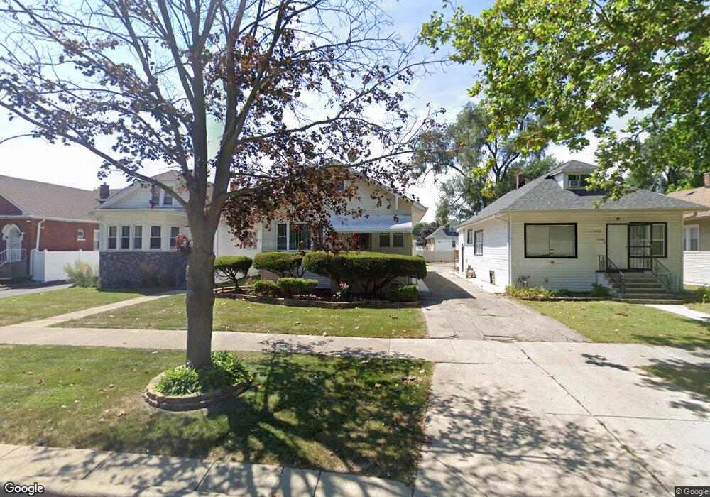
2030 S 7th Ave Maywood, IL 60153
South Maywood NeighborhoodEstimated Value: $245,000 - $290,000
2
Beds
3
Baths
1,096
Sq Ft
$242/Sq Ft
Est. Value
About This Home
This home is located at 2030 S 7th Ave, Maywood, IL 60153 and is currently estimated at $265,406, approximately $242 per square foot. 2030 S 7th Ave is a home located in Cook County with nearby schools including Roosevelt Elementary School, Irving Middle School, and Proviso East High School.
Create a Home Valuation Report for This Property
The Home Valuation Report is an in-depth analysis detailing your home's value as well as a comparison with similar homes in the area
Home Values in the Area
Average Home Value in this Area
Tax History Compared to Growth
Tax History
| Year | Tax Paid | Tax Assessment Tax Assessment Total Assessment is a certain percentage of the fair market value that is determined by local assessors to be the total taxable value of land and additions on the property. | Land | Improvement |
|---|---|---|---|---|
| 2024 | $5,983 | $19,853 | $3,216 | $16,637 |
| 2023 | $5,526 | $19,853 | $3,216 | $16,637 |
| 2022 | $5,526 | $15,972 | $2,546 | $13,426 |
| 2021 | $5,640 | $15,972 | $2,546 | $13,426 |
| 2020 | $6,716 | $17,769 | $2,546 | $15,223 |
| 2019 | $3,938 | $12,405 | $2,278 | $10,127 |
| 2018 | $3,824 | $12,405 | $2,278 | $10,127 |
| 2017 | $4,439 | $13,548 | $2,278 | $11,270 |
| 2016 | $2,919 | $8,981 | $2,010 | $6,971 |
| 2015 | $2,596 | $8,981 | $2,010 | $6,971 |
| 2014 | $3,795 | $11,572 | $2,010 | $9,562 |
| 2013 | $2,625 | $9,934 | $2,010 | $7,924 |
Source: Public Records
Map
Nearby Homes
- 2007 S 9th Ave
- 2016 S 10th Ave
- 2035 S 11th Ave
- 2204 S 9th Ave Unit 2
- 2101 S 4th Ave Unit B
- 1902 S 9th Ave
- 1923 S 4th Ave
- 1822 S 7th Ave
- 2227 S 10th Ave
- 2124 S 3rd Ave
- 2015 S 3rd Ave
- 2218 S 11th Ave
- 1831 S 4th Ave
- 2122 S 2nd Ave
- 1718 S 7th Ave
- 1901 S 3rd Ave
- 1718 S 6th Ave
- 2015 S 2nd Ave
- 1820 S 3rd Ave
- 2320 S 9th Ave