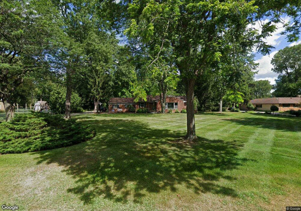
20300 Elwood St Beverly Hills, MI 48025
Estimated Value: $398,704 - $496,000
3
Beds
2
Baths
1,686
Sq Ft
$265/Sq Ft
Est. Value
About This Home
This home is located at 20300 Elwood St, Beverly Hills, MI 48025 and is currently estimated at $446,176, approximately $264 per square foot. 20300 Elwood St is a home located in Oakland County with nearby schools including Wylie E. Groves High School, Bingham Farms Elementary School, and Berkshire Middle School.
Ownership History
Date
Name
Owned For
Owner Type
Purchase Details
Closed on
Jan 25, 2009
Sold by
Tavi Joseph S
Bought by
Tavi Inger K
Current Estimated Value
Purchase Details
Closed on
Nov 11, 1994
Sold by
Blender Anita H
Bought by
Tavi Joseph S and Tavi Inger
Home Financials for this Owner
Home Financials are based on the most recent Mortgage that was taken out on this home.
Original Mortgage
$110,000
Interest Rate
8.91%
Create a Home Valuation Report for This Property
The Home Valuation Report is an in-depth analysis detailing your home's value as well as a comparison with similar homes in the area
Home Values in the Area
Average Home Value in this Area
Purchase History
| Date | Buyer | Sale Price | Title Company |
|---|---|---|---|
| Tavi Inger K | -- | None Available | |
| Tavi Joseph S | $149,000 | -- |
Source: Public Records
Mortgage History
| Date | Status | Borrower | Loan Amount |
|---|---|---|---|
| Closed | Tavi Joseph S | $110,000 |
Source: Public Records
Tax History Compared to Growth
Tax History
| Year | Tax Paid | Tax Assessment Tax Assessment Total Assessment is a certain percentage of the fair market value that is determined by local assessors to be the total taxable value of land and additions on the property. | Land | Improvement |
|---|---|---|---|---|
| 2024 | $3,000 | $155,940 | $0 | $0 |
| 2023 | $2,878 | $150,430 | $0 | $0 |
| 2022 | $3,122 | $141,890 | $0 | $0 |
| 2021 | $3,148 | $129,470 | $0 | $0 |
| 2020 | $2,637 | $120,540 | $0 | $0 |
| 2019 | $2,083 | $118,310 | $0 | $0 |
| 2018 | $3,074 | $107,550 | $0 | $0 |
| 2017 | $3,055 | $107,550 | $0 | $0 |
| 2016 | $3,061 | $103,470 | $0 | $0 |
| 2015 | -- | $96,780 | $0 | $0 |
| 2014 | -- | $84,210 | $0 | $0 |
| 2011 | -- | $72,820 | $0 | $0 |
Source: Public Records
Map
Nearby Homes
- 31462 Waltham Rd
- 19938 Waltham Rd
- 19710 W 13 Mile Rd Unit 107
- 19710 W 13 Mile Rd Unit 111
- 19710 W 13 Mile Rd Unit 101
- 19710 W 13 Mile Rd Unit 105
- 19710 W 13 Mile Rd Unit 201
- 19710 W 13 Mile Rd Unit 108
- 31035 Tremont Ln
- 20079 Forestwood St
- 19245 Eldridge Ln
- 31018 Pickwick Ln
- 20666 Southome St
- 19905 Beverly Rd
- 31112 Pickwick Ln
- 29585 Woodhaven Ln
- 21700 W 13 Mile Rd
- 19332 Beverly Rd
- 30301 Spring River Dr
- 29120 Evergreen Rd Unit 17
- 30810 Embassy St
- 20250 Elwood St
- 30836 Embassy St
- 20275 W 13 Mile Rd
- 20235 W 13 Mile Rd
- 20301 Elwood St
- 20150 Elwood St
- 30844 Embassy St
- 30650 Embassy St
- 20201 Elwood St
- 20155 W 13 Mile Rd
- 20155 W Thirteen Mile Rd
- 30825 Embassy St
- 20100 Elwood St
- 30807 Embassy St
- 30675 Embassy St
- 30845 Embassy St
- 20310 Plantation Ln
- 20272 Plantation Ln
- 20135 Elwood St