20300 Smokey Rd Frenchtown, MT 59834
Estimated Value: $303,000 - $510,144
2
Beds
2
Baths
1,792
Sq Ft
$244/Sq Ft
Est. Value
About This Home
This home is located at 20300 Smokey Rd, Frenchtown, MT 59834 and is currently estimated at $437,715, approximately $244 per square foot. 20300 Smokey Rd is a home located in Missoula County with nearby schools including Frenchtown Elementary School, Frenchtown Intermediate School, and Frenchtown Junior High School.
Ownership History
Date
Name
Owned For
Owner Type
Purchase Details
Closed on
Jan 2, 2015
Sold by
Denison Mary A
Bought by
Maurer Robert A and Maurer Corena E
Current Estimated Value
Home Financials for this Owner
Home Financials are based on the most recent Mortgage that was taken out on this home.
Original Mortgage
$181,649
Outstanding Balance
$139,545
Interest Rate
3.92%
Mortgage Type
FHA
Estimated Equity
$298,170
Purchase Details
Closed on
Feb 7, 2006
Sold by
Denison Matthew A and Denison Mary
Bought by
Denison Mary A
Purchase Details
Closed on
Apr 1, 1993
Sold by
Tomell Karen S and Tomell Mark A
Bought by
Denison Matthew A and Denison Mary
Create a Home Valuation Report for This Property
The Home Valuation Report is an in-depth analysis detailing your home's value as well as a comparison with similar homes in the area
Home Values in the Area
Average Home Value in this Area
Purchase History
| Date | Buyer | Sale Price | Title Company |
|---|---|---|---|
| Maurer Robert A | -- | None Available | |
| Denison Mary A | -- | Title Services Inc | |
| Denison Matthew A | -- | -- |
Source: Public Records
Mortgage History
| Date | Status | Borrower | Loan Amount |
|---|---|---|---|
| Open | Maurer Robert A | $181,649 |
Source: Public Records
Tax History Compared to Growth
Tax History
| Year | Tax Paid | Tax Assessment Tax Assessment Total Assessment is a certain percentage of the fair market value that is determined by local assessors to be the total taxable value of land and additions on the property. | Land | Improvement |
|---|---|---|---|---|
| 2025 | $3,004 | $503,326 | $227,066 | $276,260 |
| 2024 | $3,745 | $363,600 | $159,342 | $204,258 |
| 2023 | $3,076 | $363,600 | $159,342 | $204,258 |
| 2022 | $2,516 | $233,976 | $0 | $0 |
| 2021 | $2,547 | $233,976 | $0 | $0 |
| 2020 | $2,535 | $223,096 | $0 | $0 |
| 2019 | $2,517 | $223,096 | $0 | $0 |
| 2018 | $2,319 | $204,200 | $0 | $0 |
| 2017 | $2,351 | $204,200 | $0 | $0 |
| 2016 | $2,243 | $198,284 | $0 | $0 |
| 2015 | $2,120 | $198,284 | $0 | $0 |
| 2014 | $2,262 | $120,739 | $0 | $0 |
Source: Public Records
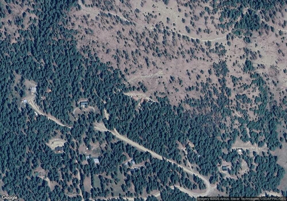
Map
Nearby Homes
- 19900 Lackman Loop
- 19425 Pond Rd
- 19555 Twin Lakes Rd
- 19025 Arabian Ln
- 19600 Wambli Ln
- 17503 Pinto Ct
- 23420 Wapiti Rd
- 000 Buckskin Ln
- NHN Roman Creek Rd
- 16605 Fox Hill Dr
- Nhn Nighthawk Dr
- 17353 Nighthawk Dr
- 0 Nighthawk Dr Unit 24209291
- 0 Nighthawk Dr Unit 25510528
- 0 Roman Creek Rd Unit 25510562
- 17920 Tonka Ln
- 21225 Mullan Rd
- 15955 Lemazion Place
- Lot 14 Elk Valley Ranch
- Lot 13 Elk Valley Ranch
- 20390 Smokey Rd
- 20200 Smokey Rd
- 20205 Smokey Rd
- 20242 Smokey Rd
- 19905 Lackman Loop
- 19895 Lackman Loop
- 20100 Smokey Rd
- 19875 Lackman Loop
- 19700 Lackman Loop
- 20000 Lackman Loop
- 19815 Lackman Loop
- 19725 Lackman Loop
- 20200 Pond Rd
- 20005 Lackman Loop
- 19500 Lackman Loop
- 20200 Lackman Loop Rd
- 20100 Pond Rd
- 19550 Pond Rd
- 19835 Telluride Trail
- 19600 Pond Rd