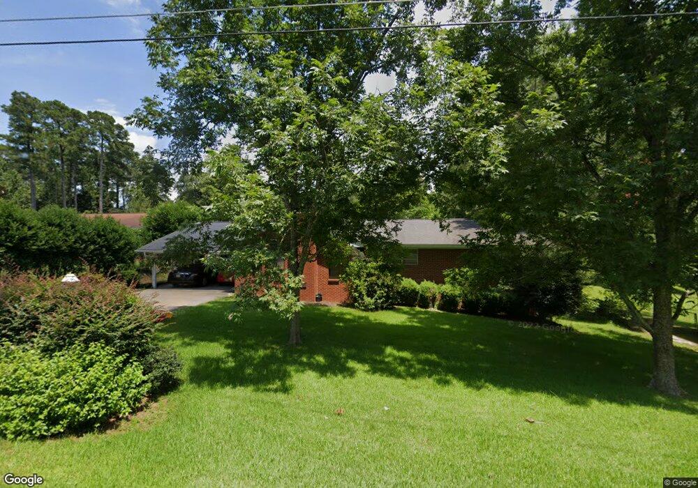
2031 Briarwood Dr Laurel, MS 39440
Estimated Value: $170,000 - $236,000
3
Beds
2
Baths
2,035
Sq Ft
$98/Sq Ft
Est. Value
About This Home
This home is located at 2031 Briarwood Dr, Laurel, MS 39440 and is currently estimated at $198,552, approximately $97 per square foot. 2031 Briarwood Dr is a home located in Jones County with nearby schools including Penasco Elementary School, Mason Elementary School, and Edison Intermediate School.
Ownership History
Date
Name
Owned For
Owner Type
Purchase Details
Closed on
Apr 19, 2021
Sold by
Cook Diane and Bush Duglas F
Bought by
Pry Nicholas Brent and Pry Kristen
Current Estimated Value
Home Financials for this Owner
Home Financials are based on the most recent Mortgage that was taken out on this home.
Original Mortgage
$134,242
Outstanding Balance
$120,941
Interest Rate
3%
Mortgage Type
Purchase Money Mortgage
Estimated Equity
$77,611
Purchase Details
Closed on
Dec 21, 2012
Sold by
Bush Margaret E and Bush Fred R
Bought by
Bush Douglas F and Cook Diane B
Create a Home Valuation Report for This Property
The Home Valuation Report is an in-depth analysis detailing your home's value as well as a comparison with similar homes in the area
Home Values in the Area
Average Home Value in this Area
Purchase History
| Date | Buyer | Sale Price | Title Company |
|---|---|---|---|
| Pry Nicholas Brent | -- | -- | |
| Bush Douglas F | -- | -- |
Source: Public Records
Mortgage History
| Date | Status | Borrower | Loan Amount |
|---|---|---|---|
| Open | Pry Nicholas Brent | $134,242 |
Source: Public Records
Tax History Compared to Growth
Tax History
| Year | Tax Paid | Tax Assessment Tax Assessment Total Assessment is a certain percentage of the fair market value that is determined by local assessors to be the total taxable value of land and additions on the property. | Land | Improvement |
|---|---|---|---|---|
| 2025 | $2,520 | $15,433 | $0 | $0 |
| 2024 | $2,520 | $14,440 | $0 | $0 |
| 2023 | $2,520 | $14,440 | $0 | $0 |
| 2022 | $2,496 | $14,440 | $0 | $0 |
| 2021 | $2,509 | $14,440 | $0 | $0 |
| 2020 | $331 | $9,387 | $0 | $0 |
| 2019 | $332 | $9,387 | $0 | $0 |
| 2018 | $332 | $9,387 | $0 | $0 |
| 2017 | $325 | $9,387 | $0 | $0 |
| 2016 | $262 | $9,087 | $0 | $0 |
| 2015 | $253 | $9,087 | $0 | $0 |
| 2014 | $253 | $9,087 | $0 | $0 |
Source: Public Records
Map
Nearby Homes
- 2035 Briarwood Dr
- 1159 W 20th St
- 2230 Ridgewood Dr
- 11 & 12 Shamroque Dr
- 1242 W 18th St
- 1727 Old Bay Springs Rd
- 1633 Old Bay Springs Rd
- 41 Flynt Rd
- 3011 Wansley Rd
- 1308 Homewood Dr
- 2710 Old Amy Rd
- 625 W 21st St
- 1548 N 7th Ave
- 1145 N 15th Ave
- 852, 848 N 7th Ave
- 2335 N 7th Ave
- 2415 N 7th Ave
- 0 Wansley Rd
- 1323 Hill Dr
- 2118 N 5th Ave
- 2027 Briarwood Dr
- 1501 Briarwood Dr
- 2028 Briarwood Dr
- 2039 Briarwood Dr
- 2032 Briarwood Dr
- 2036 Briarwood Dr
- 2019 Briarwood Dr
- 2040 Briarwood Dr
- 2024 Briarwood Dr
- 2043 Briarwood Dr
- 2046 Westwood Acres
- 2042 Briarwood Dr
- 2020 Briarwood Dr
- 2015 Briarwood Dr
- 2047 Briarwood Dr
- 2036 Westwood Acres
- 1227 W 20th St
- 2024 Westwood Acres
- 2060 Westwood Acres
- 2050 Briarwood Dr