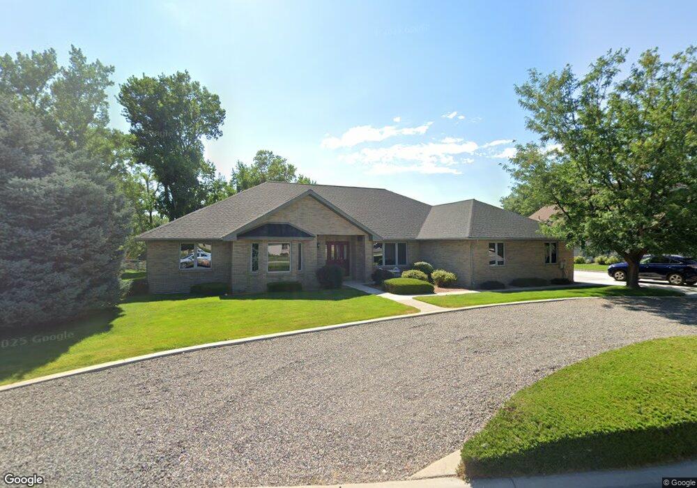
2032 Brook Way Montrose, CO 81403
Estimated Value: $779,682 - $868,000
3
Beds
3
Baths
2,804
Sq Ft
$300/Sq Ft
Est. Value
About This Home
This home is located at 2032 Brook Way, Montrose, CO 81403 and is currently estimated at $840,921, approximately $299 per square foot. 2032 Brook Way is a home located in Montrose County with nearby schools including Cottonwood Elementary School, Columbine Middle School, and Montrose High School.
Ownership History
Date
Name
Owned For
Owner Type
Purchase Details
Closed on
Apr 11, 2024
Sold by
Darlene Ann Gott Trust
Bought by
Heavers Timothy E and Heavers Kathy L
Current Estimated Value
Purchase Details
Closed on
Oct 28, 2021
Sold by
Gott Darlene Ann and Darlene Ann Gott Trust
Bought by
Darlene Ann Gott Trust
Purchase Details
Closed on
Feb 8, 2007
Sold by
Gott Harold M
Bought by
Gott Darlene A
Purchase Details
Closed on
Jan 12, 2001
Sold by
Otter Pond Lllp
Bought by
Gott Harold M and Gott Darlene A
Create a Home Valuation Report for This Property
The Home Valuation Report is an in-depth analysis detailing your home's value as well as a comparison with similar homes in the area
Home Values in the Area
Average Home Value in this Area
Purchase History
| Date | Buyer | Sale Price | Title Company |
|---|---|---|---|
| Heavers Timothy E | -- | None Listed On Document | |
| Heavers Timothy E | $720,000 | Land Title | |
| Darlene Ann Gott Trust | -- | None Available | |
| Gott Darlene A | -- | None Available | |
| Gott Harold M | $75,000 | -- |
Source: Public Records
Tax History Compared to Growth
Tax History
| Year | Tax Paid | Tax Assessment Tax Assessment Total Assessment is a certain percentage of the fair market value that is determined by local assessors to be the total taxable value of land and additions on the property. | Land | Improvement |
|---|---|---|---|---|
| 2024 | $3,040 | $49,400 | $6,620 | $42,780 |
| 2023 | $3,040 | $55,070 | $7,380 | $47,690 |
| 2022 | $2,118 | $37,730 | $4,510 | $33,220 |
| 2021 | $2,183 | $38,820 | $4,640 | $34,180 |
| 2020 | $1,879 | $35,160 | $4,760 | $30,400 |
| 2019 | $1,892 | $35,160 | $4,760 | $30,400 |
| 2018 | $1,612 | $30,480 | $3,990 | $26,490 |
| 2017 | $1,599 | $30,480 | $3,990 | $26,490 |
| 2016 | $1,758 | $33,990 | $4,020 | $29,970 |
| 2015 | $2,254 | $33,990 | $4,020 | $29,970 |
| 2014 | $1,951 | $31,470 | $4,020 | $27,450 |
Source: Public Records
Map
Nearby Homes
- TBD Woodgate Rd
- 4117 Waterfall Dr
- 1728 Keller Ct
- 16885 Wildwood Dr
- 66182 Crestview Dr
- 1712 Keller Ct
- 66356 Otter Rd
- TBD Otter Pond Cir
- TBD Lot 1 Woodgate Rd
- TBD Lot 3 Woodgate Rd
- TBD Lot 2-2 Woodgate Rd
- TBD Lot 2 Woodgate Rd
- TBD Lot 2-3 Woodgate Rd
- TBD Lot 2-1 Woodgate Rd
- 66711 Otter Rd
- TBD S Hwy 550 & Otter Rd
- Lot 14 Teton Ct
- TBD Oxbow Dr
- 66595 Kinikin Rd
- 3038 Glacier Dr
- 2024 Brook Way
- 2040 Brook Way
- 2016 Brook Way
- 2048 Brook Way
- 2033 Brook Way
- 2017 Brook Way
- 2025 Brook Way
- 2049 Brook Way
- 0 Pioneer Rd
- 0 Brook Way Unit 755028
- 0 Brook Way Unit 748818
- 0 Brook Way Unit 736013
- 0 Brook Way Unit 732441
- 0 Brook Way Unit 731292
- 0 Brook Way Unit 600182
- 0 Brook Way Unit 609774
- 0 Brook Way Unit 623528
- 0 Brook Way Unit 627000
- 0 Brook Way Unit 637678
- 0 Brook Way Unit 641217