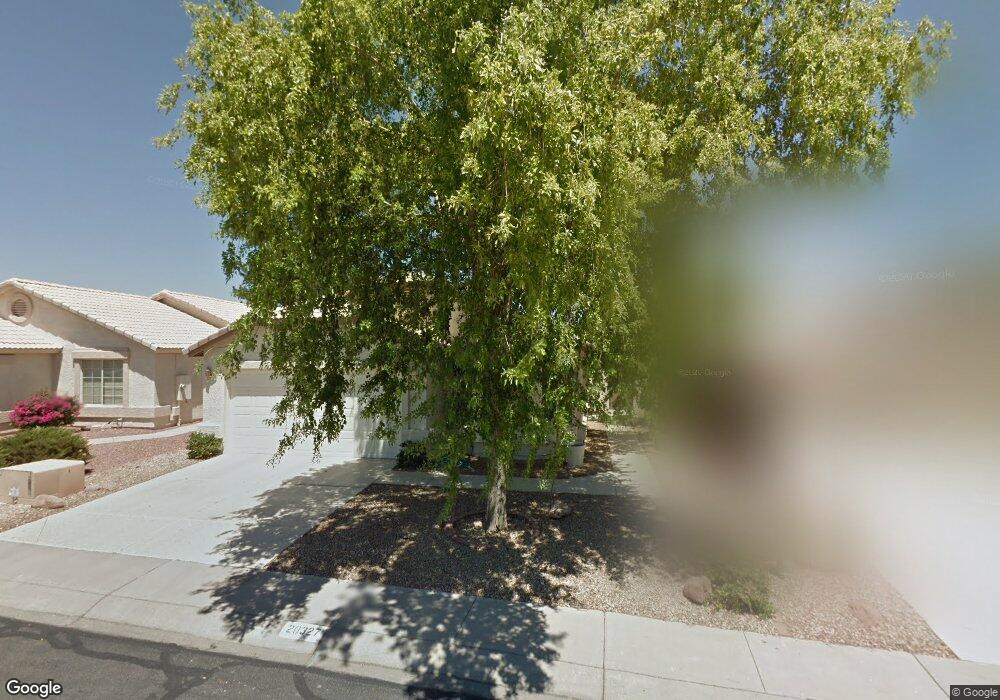
20327 N 106th Dr Peoria, AZ 85382
Estimated Value: $333,941 - $432,000
--
Bed
3
Baths
1,475
Sq Ft
$266/Sq Ft
Est. Value
About This Home
This home is located at 20327 N 106th Dr, Peoria, AZ 85382 and is currently estimated at $392,985, approximately $266 per square foot. 20327 N 106th Dr is a home located in Maricopa County with nearby schools including Parkridge Elementary School, Sunrise Mountain High School, and Guidepost Montessori at Peoria.
Ownership History
Date
Name
Owned For
Owner Type
Purchase Details
Closed on
Nov 18, 2004
Sold by
Vanryswyk Gerrit Raymond and Vanryswyk Pearl
Bought by
Vanryswyk Gerrit R and Vanryswyk Pearl
Current Estimated Value
Purchase Details
Closed on
Jan 5, 2001
Sold by
Lewis David L and Lewis Mary L
Bought by
Vanryswyk Gerrit Raymond and Vanryswyk Pearl
Purchase Details
Closed on
Jan 31, 2000
Sold by
Lewis David Leland and Lewis Mary Louise
Bought by
Lewis David Leland and Lewis Mary Louise
Purchase Details
Closed on
Jan 14, 2000
Sold by
Lewis David Leland and Lewis Mary L
Bought by
Lewis David Leland and Lewis Mary L
Create a Home Valuation Report for This Property
The Home Valuation Report is an in-depth analysis detailing your home's value as well as a comparison with similar homes in the area
Home Values in the Area
Average Home Value in this Area
Purchase History
| Date | Buyer | Sale Price | Title Company |
|---|---|---|---|
| Vanryswyk Gerrit R | -- | -- | |
| Vanryswyk Gerrit Raymond | $148,000 | Lawyers Title Of Arizona Inc | |
| Lewis David Leland | -- | -- | |
| Lewis David Leland | -- | -- |
Source: Public Records
Tax History Compared to Growth
Tax History
| Year | Tax Paid | Tax Assessment Tax Assessment Total Assessment is a certain percentage of the fair market value that is determined by local assessors to be the total taxable value of land and additions on the property. | Land | Improvement |
|---|---|---|---|---|
| 2025 | $1,220 | $20,319 | -- | -- |
| 2024 | $1,196 | $19,351 | -- | -- |
| 2023 | $1,196 | $29,400 | $5,880 | $23,520 |
| 2022 | $1,169 | $23,180 | $4,630 | $18,550 |
| 2021 | $1,239 | $22,310 | $4,460 | $17,850 |
| 2020 | $1,237 | $19,510 | $3,900 | $15,610 |
| 2019 | $1,186 | $18,510 | $3,700 | $14,810 |
| 2018 | $1,131 | $17,570 | $3,510 | $14,060 |
| 2017 | $1,118 | $15,570 | $3,110 | $12,460 |
| 2016 | $1,091 | $15,260 | $3,050 | $12,210 |
| 2015 | $1,004 | $14,420 | $2,880 | $11,540 |
Source: Public Records
Map
Nearby Homes
- 10659 W Yukon Dr
- 20360 N 106th Ln
- 10630 W Mohawk Ln
- 20670 N 105th Dr
- 20615 N 105th Ave
- 10763 W Runion Dr
- 20274 N 104th Ave
- 10722 W Irma Ln
- 10379 W Tonopah Dr
- 20769 N 106th Ln
- 10728 W Irma Ln
- 10347 W Mohawk Ln
- 10528 W Potter Dr
- 20056 N 107th Ln
- 20017 N 101st Ave
- 19822 N Turquoise Hills Dr
- 20957 N 107th Dr
- 19845 N Welk Dr
- 10672 W Ross Ave
- 10344 W Burnett Rd
- 20333 N 106th Dr
- 20321 N 106th Dr
- 20315 N 106th Dr
- 20339 N 106th Dr
- 20309 N 106th Dr
- 20316 N 106th Dr
- 20322 N 106th Dr
- 20334 N 106th Ave
- 20328 N 106th Ave
- 20340 N 106th Ave
- 20310 N 106th Dr
- 20303 N 106th Dr
- 20322 N 106th Ave
- 20346 N 106th Ave
- 20316 N 106th Ave
- 20304 N 106th Dr
- 20310 N 106th Ave
- 10621 W Runion Dr
- 10617 W Runion Dr
- 10625 W Runion Dr