2035 Redskin Trail Iron Station, NC 28080
Estimated Value: $584,000 - $683,215
4
Beds
4
Baths
3,474
Sq Ft
$181/Sq Ft
Est. Value
About This Home
This home is located at 2035 Redskin Trail, Iron Station, NC 28080 and is currently estimated at $629,054, approximately $181 per square foot. 2035 Redskin Trail is a home located in Lincoln County with nearby schools including Iron Station Elementary School, East Lincoln Middle School, and East Lincoln High School.
Ownership History
Date
Name
Owned For
Owner Type
Purchase Details
Closed on
Sep 9, 2005
Sold by
Young John A and Young Melissa L
Bought by
Mcconnell Ross O and Mcconnell Christine R
Current Estimated Value
Home Financials for this Owner
Home Financials are based on the most recent Mortgage that was taken out on this home.
Original Mortgage
$183,600
Outstanding Balance
$98,288
Interest Rate
5.86%
Mortgage Type
New Conventional
Estimated Equity
$530,766
Purchase Details
Closed on
Jan 30, 2003
Bought by
Federal National Mortgage Association
Purchase Details
Closed on
Apr 3, 1997
Bought by
Woodward Kenneth B and Woodw Usoon J
Purchase Details
Closed on
Feb 28, 1997
Bought by
Federal National Mortgage Association
Purchase Details
Closed on
Feb 1, 1995
Bought by
Jordan Raymond M and Jordan Joey A
Create a Home Valuation Report for This Property
The Home Valuation Report is an in-depth analysis detailing your home's value as well as a comparison with similar homes in the area
Home Values in the Area
Average Home Value in this Area
Purchase History
| Date | Buyer | Sale Price | Title Company |
|---|---|---|---|
| Mcconnell Ross O | $229,500 | Lenders Service Title Agency | |
| Federal National Mortgage Association | $150,100 | -- | |
| Woodward Kenneth B | $114,000 | -- | |
| Federal National Mortgage Association | $130,500 | -- | |
| Jordan Raymond M | $130,000 | -- |
Source: Public Records
Mortgage History
| Date | Status | Borrower | Loan Amount |
|---|---|---|---|
| Open | Mcconnell Ross O | $183,600 |
Source: Public Records
Tax History Compared to Growth
Tax History
| Year | Tax Paid | Tax Assessment Tax Assessment Total Assessment is a certain percentage of the fair market value that is determined by local assessors to be the total taxable value of land and additions on the property. | Land | Improvement |
|---|---|---|---|---|
| 2025 | $3,959 | $617,020 | $39,528 | $577,492 |
| 2024 | $3,939 | $617,020 | $39,528 | $577,492 |
| 2023 | $3,856 | $617,020 | $39,528 | $577,492 |
| 2022 | $2,748 | $358,001 | $29,412 | $328,589 |
| 2021 | $2,748 | $358,001 | $29,412 | $328,589 |
| 2020 | $2,562 | $358,001 | $29,412 | $328,589 |
| 2019 | $2,562 | $358,001 | $29,412 | $328,589 |
| 2018 | $2,161 | $283,179 | $27,394 | $255,785 |
| 2017 | $2,060 | $283,179 | $27,394 | $255,785 |
| 2016 | $1,816 | $0 | $27,394 | $222,173 |
| 2015 | $1,633 | $217,000 | $27,394 | $189,606 |
| 2014 | $1,709 | $229,692 | $27,912 | $201,780 |
Source: Public Records
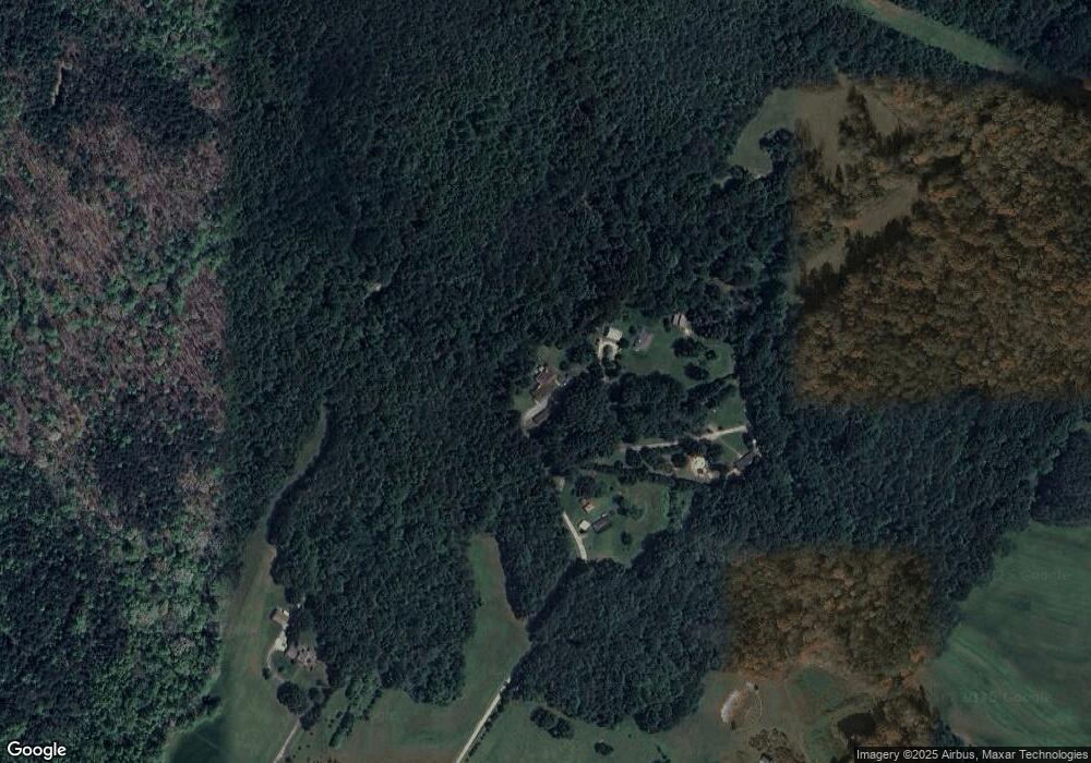
Map
Nearby Homes
- 5486 E Highway 27
- 3960 Orchard Rd
- 3388 Rhyne Forest Rd
- 1279 Craig Dr
- 1481 Depot St
- 1554 Forum Ln
- 1987 & 1981 Magnolia Grove Rd
- 4394 Mountain Creek Rd
- 6 Hager Mountain Ln
- 4859 Paysour Pond Rd
- 3132 Fox Den Cir
- 222 Oakhill St
- 4435 Cornett Dr
- 1485 Adkin Dr
- 5038 Arden Gate Dr
- 1713 Oak Park Ct
- 00 Timber Rd
- 375 Timber Rd
- 5039 Penn Rd
- 0 Wolf Rd Unit 8
- 2031 Redskin Trail
- 2067 Redskin Trail
- 2049 Redskin Trail
- 0000 Red Skin Trail
- 5721 E Highway 27
- 5737 E Highway 27
- 5755 E Highway 27
- 5865 E Highway 27
- 5829 E Hwy 27 Hwy
- 5563 E Highway 27
- 2270 Camrose Ln
- 5616 E Highway 27
- 5616 E Hwy 27 None
- 5616 Nc 27
- 0000 Bynum Estate Rd
- 5469 E Highway 27
- 5602 E Highway 27
- 5855 E Highway 27
- 5576 E Highway 27
- 0 Bynum Estate Rd Unit 1