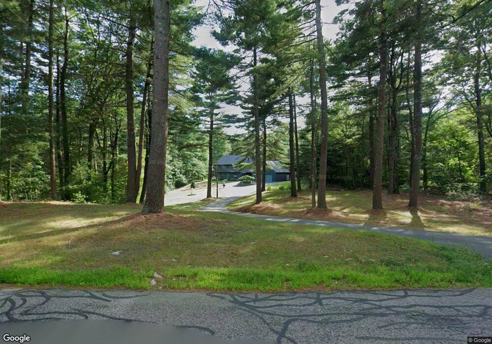
204 Berry St Wrentham, MA 02093
Estimated Value: $599,000 - $946,000
3
Beds
3
Baths
2,310
Sq Ft
$340/Sq Ft
Est. Value
About This Home
This home is located at 204 Berry St, Wrentham, MA 02093 and is currently estimated at $785,663, approximately $340 per square foot. 204 Berry St is a home located in Norfolk County with nearby schools including Delaney Elementary School and Charles E Roderick.
Ownership History
Date
Name
Owned For
Owner Type
Purchase Details
Closed on
Jul 20, 2018
Sold by
Draheim Peter R and Draheim Janice A
Bought by
Drahein Rt
Current Estimated Value
Purchase Details
Closed on
Jan 4, 1978
Bought by
Draheim Peter R and Draheim Janice A
Create a Home Valuation Report for This Property
The Home Valuation Report is an in-depth analysis detailing your home's value as well as a comparison with similar homes in the area
Home Values in the Area
Average Home Value in this Area
Purchase History
| Date | Buyer | Sale Price | Title Company |
|---|---|---|---|
| Drahein Rt | -- | -- | |
| Draheim Peter R | -- | -- |
Source: Public Records
Mortgage History
| Date | Status | Borrower | Loan Amount |
|---|---|---|---|
| Previous Owner | Draheim Peter R | $185,000 | |
| Previous Owner | Draheim Peter R | $36,000 | |
| Previous Owner | Draheim Peter R | $50,000 |
Source: Public Records
Tax History Compared to Growth
Tax History
| Year | Tax Paid | Tax Assessment Tax Assessment Total Assessment is a certain percentage of the fair market value that is determined by local assessors to be the total taxable value of land and additions on the property. | Land | Improvement |
|---|---|---|---|---|
| 2025 | $8,092 | $698,200 | $288,000 | $410,200 |
| 2024 | $7,882 | $656,800 | $288,000 | $368,800 |
| 2023 | $7,658 | $606,800 | $261,900 | $344,900 |
| 2022 | $7,508 | $549,200 | $255,100 | $294,100 |
| 2021 | $7,186 | $510,700 | $238,400 | $272,300 |
| 2020 | $6,897 | $484,000 | $182,000 | $302,000 |
| 2019 | $6,355 | $450,100 | $163,800 | $286,300 |
| 2018 | $6,539 | $459,200 | $163,600 | $295,600 |
| 2017 | $6,393 | $448,600 | $160,500 | $288,100 |
| 2016 | $6,259 | $438,300 | $155,800 | $282,500 |
| 2015 | $6,146 | $410,300 | $149,800 | $260,500 |
| 2014 | $6,057 | $395,600 | $144,100 | $251,500 |
Source: Public Records
Map
Nearby Homes
- 1204 South St
- 1222 South St
- 4 Munroe Dr
- 12 Grant St
- 791 South St Unit 5
- 387 South St
- 19 Chestnut Lot 0
- 50 Green St
- 44 Maple Terrace Unit 44
- 80 Willow Ln
- 158 Washington St
- 126 Washington St
- 130 Washington St
- 124 Washington St
- Lot 1 - Blueberry 2 Car Plan at King Philip Estates
- Lot 8 - Blueberry 2 Car Plan at King Philip Estates
- Lot 5 - Hughes 2 car Plan at King Philip Estates
- Lot 6 - Blueberry 3 Car Plan at King Philip Estates
- Lot 2 - Camden 2 Car Plan at King Philip Estates
- Lot 7 - Cedar Plan at King Philip Estates