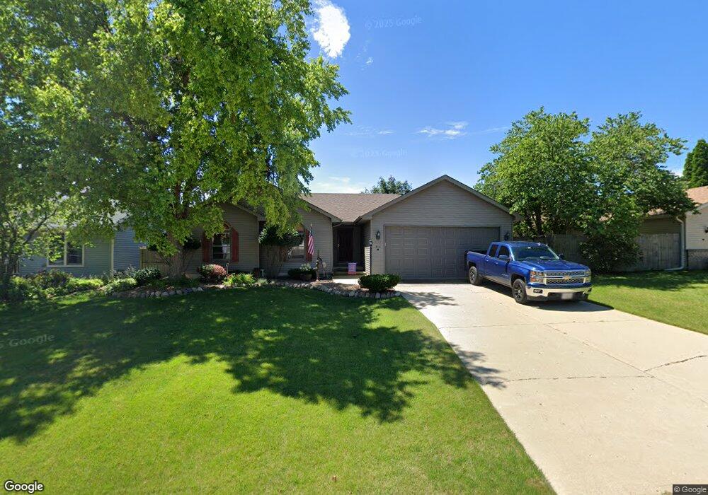
204 Potomac Ln Winthrop Harbor, IL 60096
Estimated Value: $309,918 - $366,000
3
Beds
2
Baths
1,392
Sq Ft
$245/Sq Ft
Est. Value
About This Home
This home is located at 204 Potomac Ln, Winthrop Harbor, IL 60096 and is currently estimated at $340,980, approximately $244 per square foot. 204 Potomac Ln is a home located in Lake County with nearby schools including Westfield School, North Prairie Junior High School, and Zion-Benton Township High School.
Ownership History
Date
Name
Owned For
Owner Type
Purchase Details
Closed on
Mar 29, 1996
Sold by
Bank Of Waukegan
Bought by
Cartwright Danny R and Cartwright Cathryn B
Current Estimated Value
Home Financials for this Owner
Home Financials are based on the most recent Mortgage that was taken out on this home.
Original Mortgage
$116,000
Outstanding Balance
$5,465
Interest Rate
7.36%
Estimated Equity
$335,515
Purchase Details
Closed on
Mar 22, 1994
Sold by
Bank Of Waukegan
Bought by
Bank Of Waukegan
Create a Home Valuation Report for This Property
The Home Valuation Report is an in-depth analysis detailing your home's value as well as a comparison with similar homes in the area
Home Values in the Area
Average Home Value in this Area
Purchase History
| Date | Buyer | Sale Price | Title Company |
|---|---|---|---|
| Cartwright Danny R | $145,000 | -- | |
| Bank Of Waukegan | $44,000 | -- |
Source: Public Records
Mortgage History
| Date | Status | Borrower | Loan Amount |
|---|---|---|---|
| Open | Cartwright Danny R | $116,000 |
Source: Public Records
Tax History Compared to Growth
Tax History
| Year | Tax Paid | Tax Assessment Tax Assessment Total Assessment is a certain percentage of the fair market value that is determined by local assessors to be the total taxable value of land and additions on the property. | Land | Improvement |
|---|---|---|---|---|
| 2024 | $5,878 | $81,241 | $6,678 | $74,563 |
| 2023 | $6,011 | $70,839 | $6,447 | $64,392 |
| 2022 | $6,011 | $65,929 | $6,308 | $59,621 |
| 2021 | $5,756 | $60,963 | $6,148 | $54,815 |
| 2020 | $5,547 | $58,176 | $5,867 | $52,309 |
| 2019 | $5,380 | $55,195 | $5,566 | $49,629 |
| 2018 | $5,341 | $57,033 | $6,699 | $50,334 |
| 2017 | $5,266 | $53,653 | $6,302 | $47,351 |
| 2016 | $5,072 | $51,079 | $6,000 | $45,079 |
| 2015 | $4,876 | $46,845 | $5,503 | $41,342 |
| 2014 | $4,898 | $48,033 | $11,703 | $36,330 |
| 2012 | $5,063 | $49,915 | $12,162 | $37,753 |
Source: Public Records
Map
Nearby Homes
- 429 Megan Place
- 432 Megan Place
- 436 Megan Place
- 242 Thompson Ave
- 11279 W Russell Rd
- 0 Garnett Ave
- 43100 N Lewis Ave
- 12122 28th Ave
- 12111 28th Ave
- Lt0 39th Ave
- 42908 N Lewis Ave
- Lt0 128th St
- 1810 5th St
- 210 Oak Ln
- 830 Russell Ave
- 630 Whitney Ave
- 3109 11th St
- 737 Franklin Ave
- 3106 13th St
- 1228 Pennsylvania Ave
- 208 Potomac Ln
- 203 Old Darby Ln
- 205 Old Darby Ln
- 214 Potomac Ln
- 215 Old Darby Ln
- 222 Potomac Ln
- 205 Potomac Ln
- 209 Potomac Ln
- 145 Old Darby Ln
- 213 Potomac Ln
- 225 Old Darby Ln
- 226 Potomac Ln
- 200 Old Darby Ln
- 217 Potomac Ln
- 150 Old Darby Ln
- 204 Old Darby Ln
- 235 Old Darby Ln
- 129 Chesapeake Bay
- 221 Potomac Ln
- 125 Chesapeake Bay