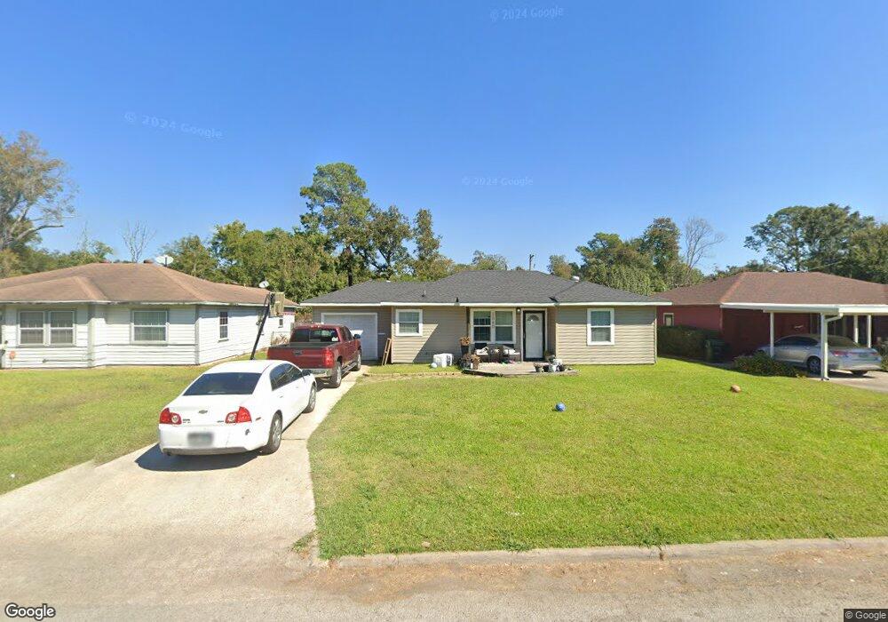
2040 Woodrow Dr Port Arthur, TX 77642
Estimated Value: $115,170 - $131,000
--
Bed
--
Bath
1,526
Sq Ft
$81/Sq Ft
Est. Value
About This Home
This home is located at 2040 Woodrow Dr, Port Arthur, TX 77642 and is currently estimated at $123,543, approximately $80 per square foot. 2040 Woodrow Dr is a home located in Jefferson County with nearby schools including Tyrrell Elementary School, Jefferson Middle School, and Memorial High School.
Ownership History
Date
Name
Owned For
Owner Type
Purchase Details
Closed on
May 29, 2007
Sold by
Dammon James Warren and Dammon Emmett G
Bought by
Mujica Julio C and Mujica Lisa
Current Estimated Value
Home Financials for this Owner
Home Financials are based on the most recent Mortgage that was taken out on this home.
Original Mortgage
$69,000
Outstanding Balance
$9,944
Interest Rate
6.16%
Mortgage Type
Purchase Money Mortgage
Estimated Equity
$113,599
Create a Home Valuation Report for This Property
The Home Valuation Report is an in-depth analysis detailing your home's value as well as a comparison with similar homes in the area
Home Values in the Area
Average Home Value in this Area
Purchase History
| Date | Buyer | Sale Price | Title Company |
|---|---|---|---|
| Mujica Julio C | -- | None Available |
Source: Public Records
Mortgage History
| Date | Status | Borrower | Loan Amount |
|---|---|---|---|
| Open | Mujica Julio C | $69,000 |
Source: Public Records
Tax History Compared to Growth
Tax History
| Year | Tax Paid | Tax Assessment Tax Assessment Total Assessment is a certain percentage of the fair market value that is determined by local assessors to be the total taxable value of land and additions on the property. | Land | Improvement |
|---|---|---|---|---|
| 2025 | $1,093 | $97,184 | -- | -- |
| 2024 | $1,093 | $88,349 | -- | -- |
| 2023 | $1,093 | $80,317 | $0 | $0 |
| 2022 | $2,319 | $73,015 | $0 | $0 |
| 2021 | $2,200 | $78,693 | $3,579 | $75,114 |
| 2020 | $1,395 | $60,343 | $3,579 | $56,764 |
| 2019 | $1,923 | $60,340 | $3,580 | $56,760 |
| 2018 | $1,493 | $65,500 | $3,580 | $61,920 |
| 2017 | $1,248 | $58,500 | $3,580 | $54,920 |
| 2016 | $1,553 | $53,010 | $3,580 | $49,430 |
| 2015 | $1,206 | $53,010 | $3,580 | $49,430 |
| 2014 | $1,206 | $53,010 | $3,580 | $49,430 |
Source: Public Records
Map
Nearby Homes
- 2129 Neches Ave
- 2515 Glenwood Dr
- 4100 Dryden Rd
- LOT 55 Royal Meadows Estate
- 2621 Evergreen Dr
- 1349 Jefferson Dr
- 4501 Springdale St
- 2301 Glenwood Dr
- 2720 Royal Ave
- 3945 12th St
- 2325 Oaklawn Ave
- 2615 3rd Ave
- 4545 Hollywood Dr
- 5301 North St
- 2434 Crescent Dr
- 3049 Canal Ave
- 3412 Drexel Ave
- 3812 30th St
- 4034 32nd St
- 3250 Woodlawn Dr
- 2100 Woodrow Dr
- 2030 Woodrow Dr
- 2108 Woodrow Dr
- 2020 Woodrow Dr
- 2041 Green Ave
- 2031 Green Ave
- 2101 Green Ave
- 2116 Woodrow Dr
- 2010 Woodrow Dr
- 2109 Green Ave
- 2041 Woodrow Dr
- 2101 Woodrow Dr
- 2031 Woodrow Dr
- 2011 Green Ave
- 2109 Woodrow Dr
- 2021 Woodrow Dr
- 2117 Green Ave
- 2124 Woodrow Dr
- 2000 Woodrow Dr
- 2001 Green Ave