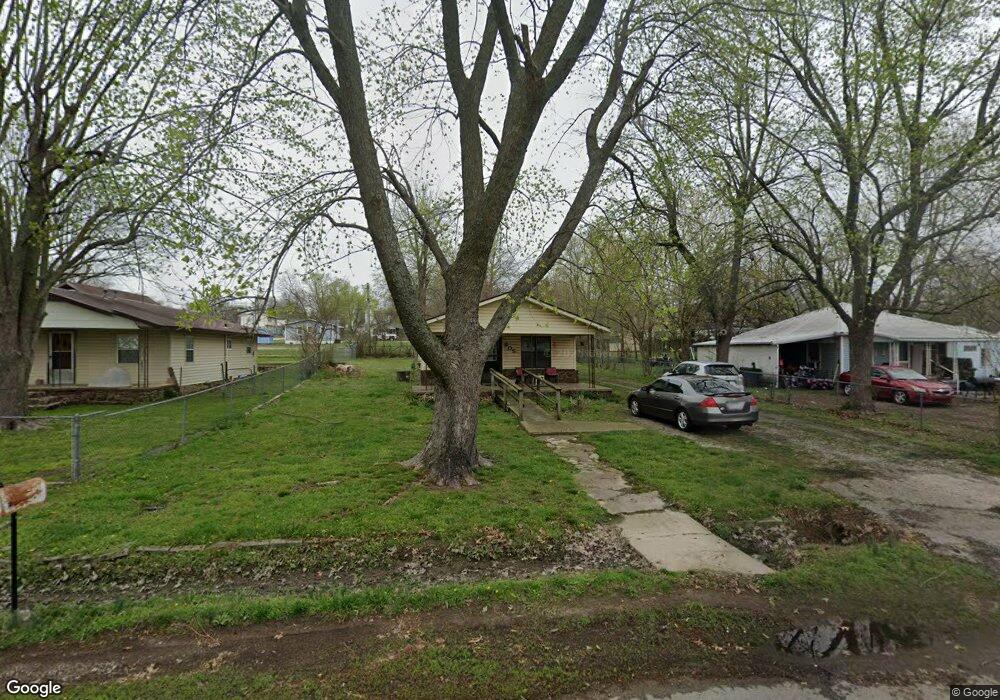
205 E Park St Lincoln, AR 72744
Estimated Value: $98,987 - $124,000
--
Bed
1
Bath
836
Sq Ft
$138/Sq Ft
Est. Value
About This Home
This home is located at 205 E Park St, Lincoln, AR 72744 and is currently estimated at $115,329, approximately $137 per square foot. 205 E Park St is a home located in Washington County with nearby schools including Lincoln Elementary School and Lincoln High School.
Ownership History
Date
Name
Owned For
Owner Type
Purchase Details
Closed on
Oct 20, 2004
Sold by
Samuels Michael N and Samuels Ruby S
Bought by
Landelius Robert and Landelius Sheila
Current Estimated Value
Home Financials for this Owner
Home Financials are based on the most recent Mortgage that was taken out on this home.
Original Mortgage
$8,532
Interest Rate
5.82%
Mortgage Type
Purchase Money Mortgage
Purchase Details
Closed on
Oct 22, 1992
Bought by
Samuels Michael N and Samuels Ruby S
Purchase Details
Closed on
Jan 1, 1985
Bought by
Castor John David
Create a Home Valuation Report for This Property
The Home Valuation Report is an in-depth analysis detailing your home's value as well as a comparison with similar homes in the area
Home Values in the Area
Average Home Value in this Area
Purchase History
| Date | Buyer | Sale Price | Title Company |
|---|---|---|---|
| Landelius Robert | $44,000 | Heritage Land Title Of Ar | |
| Samuels Michael N | $28,000 | -- | |
| Castor John David | -- | -- |
Source: Public Records
Mortgage History
| Date | Status | Borrower | Loan Amount |
|---|---|---|---|
| Closed | Landelius Robert | $8,532 |
Source: Public Records
Tax History Compared to Growth
Tax History
| Year | Tax Paid | Tax Assessment Tax Assessment Total Assessment is a certain percentage of the fair market value that is determined by local assessors to be the total taxable value of land and additions on the property. | Land | Improvement |
|---|---|---|---|---|
| 2025 | -- | $18,440 | $5,000 | $13,440 |
| 2024 | -- | $18,440 | $5,000 | $13,440 |
| 2023 | $0 | $18,440 | $5,000 | $13,440 |
| 2022 | $15 | $11,150 | $2,700 | $8,450 |
| 2021 | $15 | $11,150 | $2,700 | $8,450 |
| 2020 | $15 | $11,150 | $2,700 | $8,450 |
| 2019 | $15 | $8,740 | $2,400 | $6,340 |
| 2018 | $40 | $8,740 | $2,400 | $6,340 |
| 2017 | $4 | $8,740 | $2,400 | $6,340 |
| 2016 | $36 | $8,740 | $2,400 | $6,340 |
| 2015 | $110 | $8,740 | $2,400 | $6,340 |
| 2014 | $110 | $8,560 | $2,430 | $6,130 |
Source: Public Records
Map
Nearby Homes
- 108 N Main Ave
- 310 E Bean St
- 312 E Bean St
- 394 E North St
- 301 W Bean St
- 116 N West Ave
- 204 N Starr Ave
- 210 N Main Ave
- 100 Quincy Ave
- 313 E North St
- 108 Short Ave
- 0 W Bean St
- 506 S West Ave
- 200 County Ave
- 508 Braly St
- 511 W North St
- 711 Applegate Ln
- 315 Half St
- 523 & 525 W North St
- 709 E Pridemore Dr