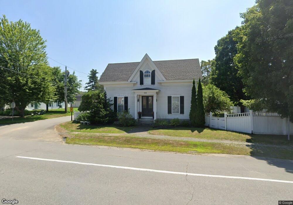
205 Main St Andover, NH 03216
Estimated Value: $522,000 - $790,000
4
Beds
2
Baths
3,248
Sq Ft
$208/Sq Ft
Est. Value
About This Home
This home is located at 205 Main St, Andover, NH 03216 and is currently estimated at $675,969, approximately $208 per square foot. 205 Main St is a home with nearby schools including Andover Elementary Middle School, Merrimack Valley High School, and Proctor Academy.
Ownership History
Date
Name
Owned For
Owner Type
Purchase Details
Closed on
Sep 15, 2021
Sold by
Ferris John R and Ferris Valerie A
Bought by
Nelson Abby J and Nelson Jason S
Current Estimated Value
Purchase Details
Closed on
May 25, 2006
Sold by
Talkington Ft
Bought by
Ferris John R and Ferris Valerie A
Home Financials for this Owner
Home Financials are based on the most recent Mortgage that was taken out on this home.
Original Mortgage
$240,000
Interest Rate
6.53%
Create a Home Valuation Report for This Property
The Home Valuation Report is an in-depth analysis detailing your home's value as well as a comparison with similar homes in the area
Home Values in the Area
Average Home Value in this Area
Purchase History
| Date | Buyer | Sale Price | Title Company |
|---|---|---|---|
| Nelson Abby J | $550,000 | None Available | |
| Ferris John R | $300,000 | -- | |
| Ferris John R | $300,000 | -- |
Source: Public Records
Mortgage History
| Date | Status | Borrower | Loan Amount |
|---|---|---|---|
| Previous Owner | Ferris John R | $30,000 | |
| Previous Owner | Ferris John R | $240,000 |
Source: Public Records
Tax History Compared to Growth
Tax History
| Year | Tax Paid | Tax Assessment Tax Assessment Total Assessment is a certain percentage of the fair market value that is determined by local assessors to be the total taxable value of land and additions on the property. | Land | Improvement |
|---|---|---|---|---|
| 2024 | $9,698 | $662,400 | $102,200 | $560,200 |
| 2023 | $8,117 | $353,700 | $73,300 | $280,400 |
| 2022 | $7,495 | $353,700 | $73,300 | $280,400 |
| 2021 | $7,396 | $353,700 | $73,300 | $280,400 |
| 2020 | $7,548 | $353,700 | $73,300 | $280,400 |
| 2019 | $7,654 | $353,700 | $73,300 | $280,400 |
| 2018 | $7,183 | $313,100 | $58,500 | $254,600 |
| 2017 | $7,157 | $313,100 | $58,500 | $254,600 |
| 2016 | $6,657 | $313,100 | $58,500 | $254,600 |
| 2015 | $6,224 | $313,100 | $58,500 | $254,600 |
| 2014 | $6,381 | $313,100 | $58,500 | $254,600 |
| 2013 | $6,030 | $321,600 | $58,500 | $263,100 |
Source: Public Records
Map
Nearby Homes
- 19 Ives
- 151 Beech Hill Rd
- 192 Beech Hill Rd
- 97 Salisbury Hwy
- 32 Clubhouse Rd
- 18 Cilleyville Rd
- 2 Monticello Dr
- 32 Monticello Dr
- 0 Beech Hill Rd Unit 370 5046361
- 106 Lead Mine Rd
- 516 W Salisbury Rd
- 303 Route 4a
- 221 Campground Rd
- Lot 02 Franklin Hwy
- 0 Putney Rd Unit 433
- 00 New Canada Rd Unit 7
- 375 New Canada Rd
- Lot 8 Stone Bridge Rd
- 131 Flaghole Rd
- 32 Maple St