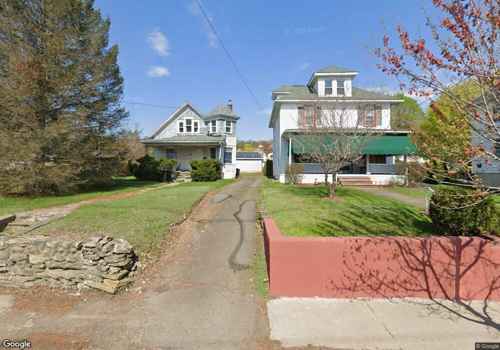
205 Main St Mayfield, PA 18433
Estimated Value: $124,053 - $230,000
6
Beds
3
Baths
4,800
Sq Ft
$36/Sq Ft
Est. Value
About This Home
This home is located at 205 Main St, Mayfield, PA 18433 and is currently estimated at $171,263, approximately $35 per square foot. 205 Main St is a home located in Lackawanna County with nearby schools including Lakeland Junior/Senior High School.
Ownership History
Date
Name
Owned For
Owner Type
Purchase Details
Closed on
Jul 7, 2025
Sold by
Merrigan Dolores and Wilcha Patricia
Bought by
Elgonitis Jaclyn A
Current Estimated Value
Purchase Details
Closed on
Jun 26, 2024
Sold by
Dolan Michael Joseph and Merrigan Dolores
Bought by
Merrigan Dolores and Wilcha Patricia
Purchase Details
Closed on
Jun 14, 1996
Bought by
Dolan Ann and Dolan Michael
Create a Home Valuation Report for This Property
The Home Valuation Report is an in-depth analysis detailing your home's value as well as a comparison with similar homes in the area
Home Values in the Area
Average Home Value in this Area
Purchase History
| Date | Buyer | Sale Price | Title Company |
|---|---|---|---|
| Elgonitis Jaclyn A | -- | None Listed On Document | |
| Merrigan Dolores | -- | None Listed On Document | |
| Dolan Ann | -- | -- |
Source: Public Records
Tax History Compared to Growth
Tax History
| Year | Tax Paid | Tax Assessment Tax Assessment Total Assessment is a certain percentage of the fair market value that is determined by local assessors to be the total taxable value of land and additions on the property. | Land | Improvement |
|---|---|---|---|---|
| 2025 | $1,657 | $6,200 | $0 | $6,200 |
| 2024 | $1,387 | $6,200 | $0 | $6,200 |
| 2023 | $1,387 | $6,200 | $0 | $6,200 |
| 2022 | $1,339 | $6,200 | $0 | $6,200 |
| 2021 | $1,339 | $6,200 | $0 | $6,200 |
| 2020 | $1,327 | $6,200 | $0 | $6,200 |
| 2019 | $1,253 | $6,200 | $0 | $6,200 |
| 2018 | $1,240 | $6,200 | $0 | $6,200 |
| 2017 | $1,228 | $6,200 | $0 | $6,200 |
| 2016 | $604 | $6,200 | $0 | $0 |
| 2015 | -- | $6,200 | $0 | $0 |
| 2014 | -- | $6,200 | $0 | $0 |
Source: Public Records
Map
Nearby Homes
- 0 Bacon St
- 0 Scranton Carbondale Hwy
- 440 Washington Ave
- 441 Madison Ave
- 0 Chestnut St
- 118-120 Madison Ave
- 369 Upper Powderly St
- 15 Lower Powderly St
- 322 Shadow Wood Cir Unit U13
- 192 Shadow Wood Cir
- 333 Shadow Wood Cir
- 115 Gordon Ave
- 233 Shadow Wood Cir
- 880 Scranton - Carbondale
- 590 N Main St
- 815 Oak St
- 820 Oak St
- 149 Upper Powderly St
- 128 Powderly Rd
- 426 Wildcat (Rt 247) Rd
- 203 Main St
- 207 Main St
- 213 Main St
- 769 Washington Ave
- 215 Main St
- 0 Main St
- 210 Depew Ave
- 208 Depew Ave
- 212 Depew Ave
- 765 Washington Ave Unit 767
- 216 Depew Ave
- 204 Division St
- 218 Depew Ave
- 0 Glenwood Ave Unit GSB085817
- 0 Glenwood St Unit GSB064104
- 200 Depew Ave
- 214 Depew Ave
- 764 Washington Ave
- 200 Division St
- 222 Depew Ave