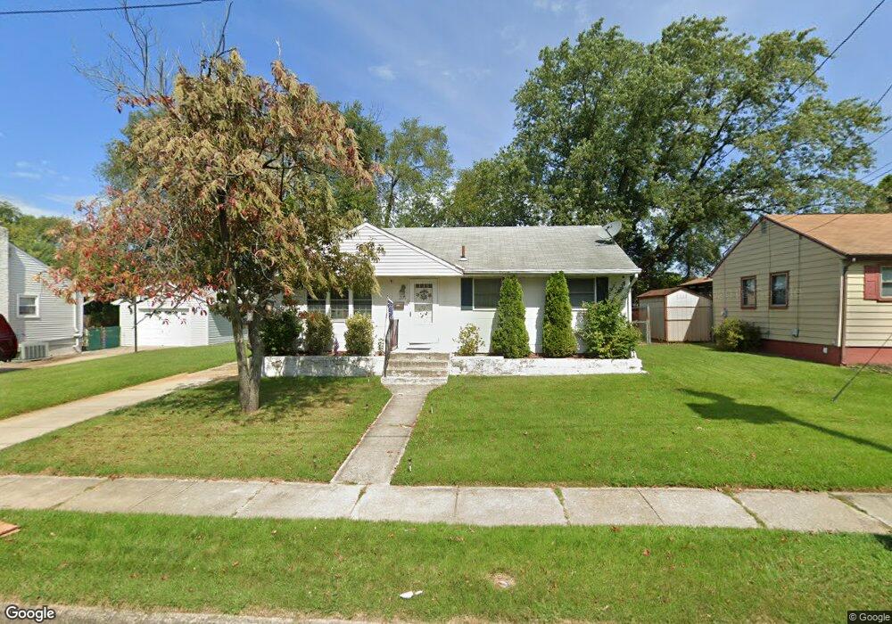
205 Paulson Dr Magnolia, NJ 08049
Estimated Value: $282,000 - $308,000
3
Beds
1
Bath
912
Sq Ft
$320/Sq Ft
Est. Value
About This Home
This home is located at 205 Paulson Dr, Magnolia, NJ 08049 and is currently estimated at $292,148, approximately $320 per square foot. 205 Paulson Dr is a home located in Camden County with nearby schools including Magnolia Elementary School and Sterling High School.
Ownership History
Date
Name
Owned For
Owner Type
Purchase Details
Closed on
Sep 2, 2008
Sold by
Lennox Nancy
Bought by
Patel Dipul D and Patel Madhuri
Current Estimated Value
Home Financials for this Owner
Home Financials are based on the most recent Mortgage that was taken out on this home.
Original Mortgage
$144,000
Outstanding Balance
$96,055
Interest Rate
6.58%
Mortgage Type
New Conventional
Estimated Equity
$196,093
Purchase Details
Closed on
Jul 30, 1998
Sold by
Pedano Thomas J
Bought by
Lennox Nancy and Lennox Keith
Home Financials for this Owner
Home Financials are based on the most recent Mortgage that was taken out on this home.
Original Mortgage
$46,012
Interest Rate
6.94%
Mortgage Type
FHA
Create a Home Valuation Report for This Property
The Home Valuation Report is an in-depth analysis detailing your home's value as well as a comparison with similar homes in the area
Home Values in the Area
Average Home Value in this Area
Purchase History
| Date | Buyer | Sale Price | Title Company |
|---|---|---|---|
| Patel Dipul D | $160,000 | -- | |
| Lennox Nancy | $89,900 | -- |
Source: Public Records
Mortgage History
| Date | Status | Borrower | Loan Amount |
|---|---|---|---|
| Open | Patel Dipul D | $144,000 | |
| Previous Owner | Lennox Nancy | $46,012 |
Source: Public Records
Tax History Compared to Growth
Tax History
| Year | Tax Paid | Tax Assessment Tax Assessment Total Assessment is a certain percentage of the fair market value that is determined by local assessors to be the total taxable value of land and additions on the property. | Land | Improvement |
|---|---|---|---|---|
| 2025 | $6,429 | $133,900 | $45,600 | $88,300 |
| 2024 | $6,272 | $133,900 | $45,600 | $88,300 |
| 2023 | $6,272 | $133,900 | $45,600 | $88,300 |
| 2022 | $6,109 | $133,900 | $45,600 | $88,300 |
| 2021 | $6,050 | $133,900 | $45,600 | $88,300 |
| 2020 | $5,934 | $133,900 | $45,600 | $88,300 |
| 2019 | $5,822 | $133,900 | $45,600 | $88,300 |
| 2018 | $5,704 | $133,900 | $45,600 | $88,300 |
| 2017 | $5,538 | $133,900 | $45,600 | $88,300 |
| 2016 | $5,383 | $133,900 | $45,600 | $88,300 |
| 2015 | $5,197 | $133,900 | $45,600 | $88,300 |
| 2014 | $5,123 | $133,900 | $45,600 | $88,300 |
Source: Public Records
Map
Nearby Homes
- 115 Phillips Ave
- 59 E Oak Ave
- 26 Center Oak Ave
- 22 Center Oak Ave
- 431 N White Horse Pike
- 430 Brooke Ave
- 207 NE Atlantic Ave
- 0 Thomas Ave S
- 130 E Evesham Ave
- 128 E Oak Ave
- 172 E Charleston Ave
- 178 E Charleston Ave
- 606 Lincoln Ave
- 130 W Monroe Ave
- 26 E Phoenix Ave
- 27 E Phoenix Ave
- 322 W Washington Ave
- 121 Lafayette Ave
- 358 Quaker Rd
- 348 Silk St