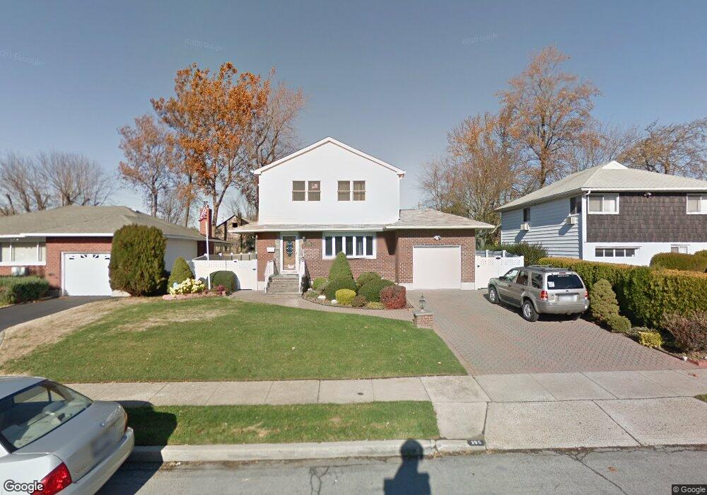
205 Wyngate Dr Massapequa, NY 11758
Estimated Value: $716,000 - $917,217
--
Bed
3
Baths
2,584
Sq Ft
$316/Sq Ft
Est. Value
About This Home
This home is located at 205 Wyngate Dr, Massapequa, NY 11758 and is currently estimated at $816,609, approximately $316 per square foot. 205 Wyngate Dr is a home located in Nassau County with nearby schools including Charles E. Schwarting School, Plainedge Middle School, and Plainedge Senior High School.
Ownership History
Date
Name
Owned For
Owner Type
Purchase Details
Closed on
Nov 10, 2022
Sold by
Faranello Michael and Arnold Camille
Bought by
Arnold Camille
Current Estimated Value
Purchase Details
Closed on
Jul 30, 1999
Sold by
Rutkowski Michael A and Rutkowski Louise
Bought by
Faranello Michael and Arnold Camille
Purchase Details
Closed on
Nov 24, 1997
Sold by
Foti Peter and Foti Rose
Bought by
Rutkowski Michael and Rutkowski Louise
Create a Home Valuation Report for This Property
The Home Valuation Report is an in-depth analysis detailing your home's value as well as a comparison with similar homes in the area
Home Values in the Area
Average Home Value in this Area
Purchase History
| Date | Buyer | Sale Price | Title Company |
|---|---|---|---|
| Arnold Camille | -- | None Available | |
| Faranello Michael | $276,000 | Ticor Title Insurance Compan | |
| Rutkowski Michael | $227,500 | -- |
Source: Public Records
Tax History Compared to Growth
Tax History
| Year | Tax Paid | Tax Assessment Tax Assessment Total Assessment is a certain percentage of the fair market value that is determined by local assessors to be the total taxable value of land and additions on the property. | Land | Improvement |
|---|---|---|---|---|
| 2025 | $14,760 | $626 | $245 | $381 |
| 2024 | $4,204 | $616 | $255 | $361 |
| 2023 | $13,187 | $653 | $270 | $383 |
| 2022 | $13,187 | $641 | $265 | $376 |
| 2021 | $11,687 | $674 | $279 | $395 |
| 2020 | $10,018 | $669 | $473 | $196 |
| 2019 | $3,720 | $716 | $474 | $242 |
| 2018 | $6,694 | $764 | $0 | $0 |
| 2017 | $6,694 | $812 | $478 | $334 |
| 2016 | $10,592 | $860 | $455 | $405 |
| 2015 | $3,685 | $908 | $481 | $427 |
| 2014 | $3,685 | $908 | $481 | $427 |
| 2013 | $3,523 | $956 | $506 | $450 |
Source: Public Records
Map
Nearby Homes
- 7 Crocus Dr
- 4090 Sherrey Ct
- 344 N Hickory St
- 3 Rutland Rd
- 558 N Hawthorne St
- 4038 Meadow Ln
- 240 Wyngate Dr
- 530 N Hawthorne St
- 530 N Oak St
- 4057 Eve Dr
- 598 N Suffolk Ave
- 1144 Greenway Ct
- 282 N Oak St
- 5 Webster Ave
- 408 Briarwood Rd
- 3975 Anne Dr
- 4030 Jerusalem Ave Unit 1B
- 76 Hamilton Ave
- 267 N Elm St
- 956 N Park Ave
- 203 Wyngate Dr
- 207 Wyngate Dr
- 1098 Hicksville Rd
- 209 Wyngate Dr
- 900A Hicksville Rd
- 204 Wyngate Dr
- 202 Wyngate Dr
- 206 Wyngate Dr
- 211 Wyngate Dr
- 200 Wyngate Dr
- 208 Wyngate Dr
- 375 N Hickory St
- 377 N Hickory St
- 892 Hicksville Rd
- 373 N Hickory St
- 116 Hunter Ridge Rd N
- 506 Wright Dr
- 114 Hunter Ridge Rd N
- 210 Wyngate Dr
- 508 Wright Dr