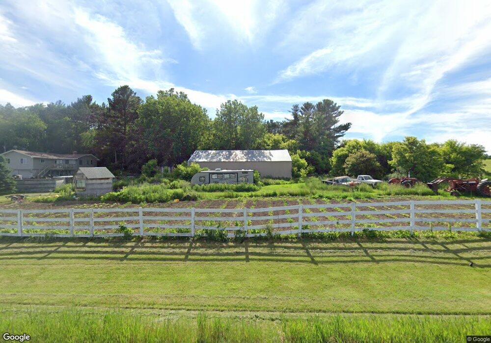
2056 County Road T New Richmond, WI 54017
Stanton NeighborhoodEstimated Value: $400,000 - $463,000
5
Beds
3
Baths
--
Sq Ft
3.5
Acres
About This Home
This home is located at 2056 County Road T, New Richmond, WI 54017 and is currently estimated at $430,800. 2056 County Road T is a home located in St. Croix County with nearby schools including New Richmond High School.
Ownership History
Date
Name
Owned For
Owner Type
Purchase Details
Closed on
Aug 22, 2014
Sold by
Nelson Christopher S and Nelson Kerri L
Bought by
Hatch Bradley J and Hatch Renee J
Current Estimated Value
Home Financials for this Owner
Home Financials are based on the most recent Mortgage that was taken out on this home.
Original Mortgage
$179,591
Outstanding Balance
$136,886
Interest Rate
4.1%
Mortgage Type
New Conventional
Estimated Equity
$293,914
Create a Home Valuation Report for This Property
The Home Valuation Report is an in-depth analysis detailing your home's value as well as a comparison with similar homes in the area
Home Values in the Area
Average Home Value in this Area
Purchase History
| Date | Buyer | Sale Price | Title Company |
|---|---|---|---|
| Hatch Bradley J | $176,000 | St Croix Cnty Abstract & Tit |
Source: Public Records
Mortgage History
| Date | Status | Borrower | Loan Amount |
|---|---|---|---|
| Open | Hatch Bradley J | $179,591 |
Source: Public Records
Tax History Compared to Growth
Tax History
| Year | Tax Paid | Tax Assessment Tax Assessment Total Assessment is a certain percentage of the fair market value that is determined by local assessors to be the total taxable value of land and additions on the property. | Land | Improvement |
|---|---|---|---|---|
| 2024 | $37 | $231,700 | $40,600 | $191,100 |
| 2023 | $3,191 | $231,700 | $40,600 | $191,100 |
| 2022 | $2,984 | $231,700 | $40,600 | $191,100 |
| 2021 | $3,025 | $231,700 | $40,600 | $191,100 |
| 2020 | $3,040 | $231,700 | $40,600 | $191,100 |
| 2019 | $3,141 | $198,300 | $40,600 | $157,700 |
| 2018 | $3,157 | $175,800 | $37,600 | $138,200 |
| 2017 | $2,979 | $175,800 | $37,600 | $138,200 |
| 2016 | $2,979 | $175,800 | $37,600 | $138,200 |
| 2015 | $2,862 | $175,800 | $37,600 | $138,200 |
| 2014 | $2,745 | $175,800 | $37,600 | $138,200 |
| 2013 | $2,862 | $175,800 | $37,600 | $138,200 |
Source: Public Records
Map
Nearby Homes
- 1909 Hwy 64
- 1909 Highway 64
- 1719 County Road H
- 0 Prairie Rd
- 0 Xxx County Road K
- XXX Prairie Rd
- 2150 220th St
- 492 Coyote Way
- 484 Coyote Way
- 1902 Mink Way
- 491 Coyote Way
- 485 Coyote Way
- 437 Coyote Way
- 1509 Raccoon Ln
- 1506 Raccoon Ln
- 1501 Raccoon Ln
- 1500 Raccoon Ln
- xxx County Road K
- 1489 Raccoon Ln
- 1485 Otter Way
- 1855 210th Ave
- 1824 200th Ave
- 1811 210th Ave
- 1890 200th Ave
- 1890 200th Ave
- 2118 County Road T
- 1787 210th Ave
- 1779 210th Ave
- xxx 210th Ave
- 1783 210th Ave
- 1905 200th Ave
- 1788 200th Ave
- 2138 County Road T
- 1969 County Road T
- 2139 County Road T
- 1774 210th Ave
- 1975 190th St
- 1765 210th Ave
- 1934 200th Ave
- XXX 270th Ave