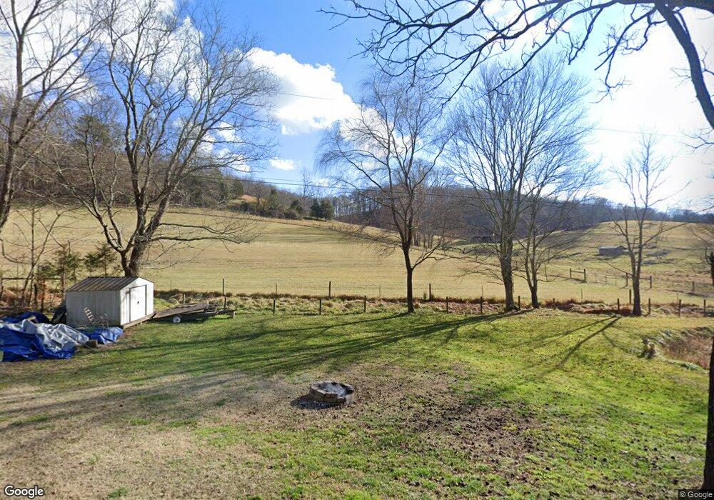
2059 Island Rd Blountville, TN 37617
Estimated Value: $420,000 - $1,050,472
--
Bed
1
Bath
2,558
Sq Ft
$285/Sq Ft
Est. Value
About This Home
This home is located at 2059 Island Rd, Blountville, TN 37617 and is currently estimated at $727,824, approximately $284 per square foot. 2059 Island Rd is a home located in Sullivan County with nearby schools including Central Heights Elementary School and Sullivan Central Middle School.
Ownership History
Date
Name
Owned For
Owner Type
Purchase Details
Closed on
Jun 11, 2025
Sold by
Lucille H Winegar Life Trust and Winegar Lucille H
Bought by
Mumpower Sherry L
Current Estimated Value
Purchase Details
Closed on
Sep 14, 2020
Sold by
Winegar Family General Partnership
Bought by
Winegar Lucille H
Purchase Details
Closed on
Nov 1, 2013
Sold by
Winegar Lucilie H
Bought by
Winegar Family General Partner
Create a Home Valuation Report for This Property
The Home Valuation Report is an in-depth analysis detailing your home's value as well as a comparison with similar homes in the area
Home Values in the Area
Average Home Value in this Area
Purchase History
| Date | Buyer | Sale Price | Title Company |
|---|---|---|---|
| Mumpower Sherry L | -- | None Listed On Document | |
| Mumpower Sherry L | -- | None Listed On Document | |
| Dobbs Suzanne W | -- | None Listed On Document | |
| Dobbs Suzanne W | -- | None Listed On Document | |
| Winegar Gary R | -- | None Listed On Document | |
| Winegar Gary R | -- | None Listed On Document | |
| Lucille H Winegar Life Trust | -- | None Listed On Document | |
| Lucille H Winegar Life Trust | -- | None Listed On Document | |
| Winegar Lucille H | -- | None Available | |
| Winegar Family General Partner | -- | -- |
Source: Public Records
Tax History Compared to Growth
Tax History
| Year | Tax Paid | Tax Assessment Tax Assessment Total Assessment is a certain percentage of the fair market value that is determined by local assessors to be the total taxable value of land and additions on the property. | Land | Improvement |
|---|---|---|---|---|
| 2024 | $1,324 | $53,025 | $28,625 | $24,400 |
| 2023 | $1,276 | $53,025 | $28,625 | $24,400 |
| 2022 | $1,276 | $53,025 | $28,625 | $24,400 |
| 2021 | $1,276 | $53,025 | $28,625 | $24,400 |
| 2020 | $1,282 | $53,025 | $28,625 | $24,400 |
| 2019 | $1,282 | $49,900 | $26,250 | $23,650 |
| 2018 | $1,272 | $49,900 | $26,250 | $23,650 |
| 2017 | $1,272 | $49,900 | $26,250 | $23,650 |
| 2016 | $1,015 | $39,400 | $21,875 | $17,525 |
| 2014 | $908 | $39,391 | $0 | $0 |
Source: Public Records
Map
Nearby Homes
- 343 Barr Rd
- 000 Fleenor Dr
- 2892 Island Rd
- 4080 Highway 126
- 309 Sammons Pvt Dr
- 1084 Highway 394
- 100 Polo Dr
- 209 Polo Dr
- 191 Neeley Place
- 217 Polo Dr
- 354 Shadowtown Rd
- 222 Polo Dr
- 252 Leonard Ln
- 782 Harr Town Rd
- 278 Pamela Ct
- Tbd Tennessee 75
- 297 Bluff Rd
- 163 Pendleton Rd
- 4401 Hwy 11w
- 250 Pendleton Rd