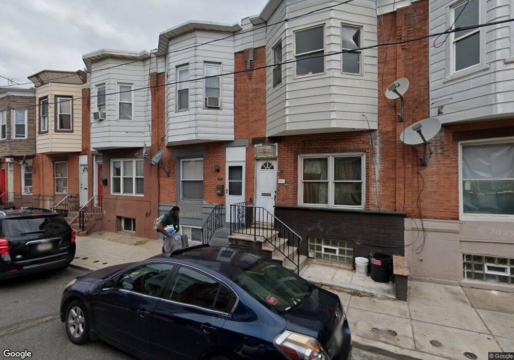
2059 Mercy St Philadelphia, PA 19145
South Philadelphia West NeighborhoodEstimated Value: $183,343 - $256,000
3
Beds
1
Bath
942
Sq Ft
$234/Sq Ft
Est. Value
About This Home
This home is located at 2059 Mercy St, Philadelphia, PA 19145 and is currently estimated at $220,836, approximately $234 per square foot. 2059 Mercy St is a home located in Philadelphia County with nearby schools including Stephen Girard School, Universal Vare Charter School, and Universal Audenried Charter High School.
Ownership History
Date
Name
Owned For
Owner Type
Purchase Details
Closed on
Aug 27, 2010
Sold by
Emc Mortgage Corporation
Bought by
Malfurion Llc
Current Estimated Value
Purchase Details
Closed on
Jun 28, 2010
Sold by
Tenden Henry
Bought by
Wells Fargo Bank Na
Purchase Details
Closed on
Sep 8, 2005
Sold by
Gordon Robert A
Bought by
Tenden Henry
Home Financials for this Owner
Home Financials are based on the most recent Mortgage that was taken out on this home.
Original Mortgage
$57,600
Interest Rate
3%
Mortgage Type
Fannie Mae Freddie Mac
Purchase Details
Closed on
Aug 8, 2001
Sold by
Hud
Bought by
Gordon Robert A
Home Financials for this Owner
Home Financials are based on the most recent Mortgage that was taken out on this home.
Original Mortgage
$29,250
Interest Rate
7.21%
Purchase Details
Closed on
Dec 4, 2000
Sold by
Byarm Lionel and Corinthian Mtg Corp
Bought by
Hud
Purchase Details
Closed on
Sep 30, 1996
Sold by
Sica Anita Jean
Bought by
Byarm Lionel
Create a Home Valuation Report for This Property
The Home Valuation Report is an in-depth analysis detailing your home's value as well as a comparison with similar homes in the area
Home Values in the Area
Average Home Value in this Area
Purchase History
| Date | Buyer | Sale Price | Title Company |
|---|---|---|---|
| Malfurion Llc | $25,500 | None Available | |
| Wells Fargo Bank Na | $4,300 | None Available | |
| Tenden Henry | $64,000 | None Available | |
| Gordon Robert A | $19,501 | -- | |
| Hud | $4,400 | -- | |
| Byarm Lionel | $32,000 | -- |
Source: Public Records
Mortgage History
| Date | Status | Borrower | Loan Amount |
|---|---|---|---|
| Previous Owner | Tenden Henry | $57,600 | |
| Previous Owner | Gordon Robert A | $29,250 |
Source: Public Records
Tax History Compared to Growth
Tax History
| Year | Tax Paid | Tax Assessment Tax Assessment Total Assessment is a certain percentage of the fair market value that is determined by local assessors to be the total taxable value of land and additions on the property. | Land | Improvement |
|---|---|---|---|---|
| 2025 | $1,806 | $148,900 | $29,780 | $119,120 |
| 2024 | $1,806 | $148,900 | $29,780 | $119,120 |
| 2023 | $1,806 | $129,000 | $25,800 | $103,200 |
| 2022 | $1,215 | $129,000 | $25,800 | $103,200 |
| 2021 | $1,215 | $0 | $0 | $0 |
| 2020 | $1,215 | $0 | $0 | $0 |
| 2019 | $1,130 | $0 | $0 | $0 |
| 2018 | $869 | $0 | $0 | $0 |
| 2017 | $869 | $0 | $0 | $0 |
| 2016 | $869 | $0 | $0 | $0 |
| 2015 | $833 | $0 | $0 | $0 |
| 2014 | -- | $62,200 | $6,448 | $55,752 |
| 2012 | -- | $7,712 | $737 | $6,975 |
Source: Public Records
Map
Nearby Homes
- 2032 S 21st St
- 2040 S Norwood St
- 2022 S 21st St
- 2056 Emily St
- 2047 S Beechwood St
- 2014 Emily St
- 2005 Mercy St
- 2001 S Norwood St
- 2025 S 22nd St
- 2028 S 22nd St
- 2206 Winton St
- 2233 S Norwood St
- 2028 S Opal St
- 2106 S Garnet St
- 2223 Winton St
- 2013 S Croskey St
- 2151 S Opal St
- 2021 S Opal St
- 1943 S 22nd St
- 1937 S 20th St